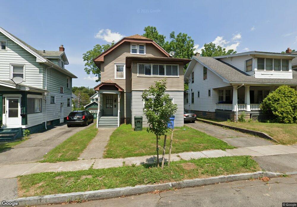
50 Rosalind St Unit 52 Rochester, NY 14619
19th Ward NeighborhoodEstimated Value: $177,000 - $193,000
4
Beds
2
Baths
2,136
Sq Ft
$88/Sq Ft
Est. Value
About This Home
This home is located at 50 Rosalind St Unit 52, Rochester, NY 14619 and is currently estimated at $186,915, approximately $87 per square foot. 50 Rosalind St Unit 52 is a home located in Monroe County with nearby schools including John Walton Spencer School No. 16, Adlai E. Stevenson School 29, and School 19 Dr Charles T Lunsford.
Ownership History
Date
Name
Owned For
Owner Type
Purchase Details
Closed on
Nov 8, 2024
Sold by
Mcniece Peter
Bought by
Scarecrow Holdings Llc
Current Estimated Value
Home Financials for this Owner
Home Financials are based on the most recent Mortgage that was taken out on this home.
Original Mortgage
$548
Outstanding Balance
$543
Interest Rate
6.12%
Mortgage Type
New Conventional
Estimated Equity
$186,372
Create a Home Valuation Report for This Property
The Home Valuation Report is an in-depth analysis detailing your home's value as well as a comparison with similar homes in the area
Home Values in the Area
Average Home Value in this Area
Purchase History
| Date | Buyer | Sale Price | Title Company |
|---|---|---|---|
| Scarecrow Holdings Llc | $70,000 | Webtitle | |
| Scarecrow Holdings Llc | $70,000 | Webtitle |
Source: Public Records
Mortgage History
| Date | Status | Borrower | Loan Amount |
|---|---|---|---|
| Open | Scarecrow Holdings Llc | $548 | |
| Closed | Scarecrow Holdings Llc | $548 |
Source: Public Records
Tax History Compared to Growth
Tax History
| Year | Tax Paid | Tax Assessment Tax Assessment Total Assessment is a certain percentage of the fair market value that is determined by local assessors to be the total taxable value of land and additions on the property. | Land | Improvement |
|---|---|---|---|---|
| 2024 | $1,405 | $150,000 | $9,600 | $140,400 |
| 2023 | $1,016 | $78,200 | $5,700 | $72,500 |
| 2022 | $1,175 | $78,200 | $5,700 | $72,500 |
| 2021 | $1,125 | $78,200 | $5,700 | $72,500 |
| 2020 | $1,089 | $78,200 | $5,700 | $72,500 |
| 2019 | $6,022 | $62,000 | $5,700 | $56,300 |
| 2018 | $3,649 | $62,000 | $5,700 | $56,300 |
| 2017 | $3,440 | $62,000 | $5,700 | $56,300 |
| 2016 | $1,134 | $62,000 | $5,700 | $56,300 |
| 2015 | -- | $62,000 | $5,700 | $56,300 |
| 2014 | -- | $62,000 | $5,700 | $56,300 |
Source: Public Records
Map
Nearby Homes
- 19 Hillendale St Unit 21
- 96 Hillendale St
- 107 Enterprise St
- 79 Dunbar St
- 741 Genesee Park Blvd Unit 743
- 20 Sheldon Terrace
- 570 Post Ave
- 185 Raeburn Ave
- 51 Penhurst St
- 783 Post Ave
- 64 Flanders St
- 619 Woodbine Ave
- 393 Brooks Ave
- 799 Woodbine Ave
- 1043 Genesee Park Blvd
- 440 Genesee Park Blvd
- 401 Sawyer St
- 294 Penhurst St
- 308 Brooks Ave
- 3 Ravenwood Ave
- 48 Rosalind St
- 58 Rosalind St
- 64 Rosalind St
- 42 Rosalind St
- 51 Midvale Terrace
- 47 Midvale Terrace
- 68 Rosalind St
- 36 Rosalind St Unit 38
- 63 Midvale Terrace
- 41 Midvale Terrace
- 51 Rosalind St Unit 53
- 57 Rosalind St
- 30 Rosalind St Unit 32
- 74 Rosalind St
- 32 Rosalind St
- 67 Midvale Terrace
- 35 Midvale Terrace
- 41 Rosalind St
- 61 Rosalind St Unit 63
- 69-71 Midvale Terrace