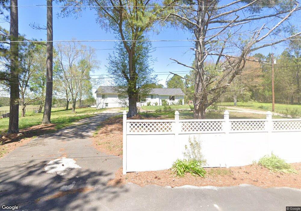
50 Rowell Rd Rockmart, GA 30153
Estimated Value: $275,000 - $374,000
3
Beds
2
Baths
1,534
Sq Ft
$214/Sq Ft
Est. Value
About This Home
This home is located at 50 Rowell Rd, Rockmart, GA 30153 and is currently estimated at $327,764, approximately $213 per square foot. 50 Rowell Rd is a home located in Polk County with nearby schools including Rockmart Middle School.
Ownership History
Date
Name
Owned For
Owner Type
Purchase Details
Closed on
May 26, 2017
Sold by
Wallace Matthew W
Bought by
Wallace Matthew W and Wallace Jennifer Ashley
Current Estimated Value
Home Financials for this Owner
Home Financials are based on the most recent Mortgage that was taken out on this home.
Original Mortgage
$152,000
Outstanding Balance
$126,467
Interest Rate
4.03%
Mortgage Type
New Conventional
Estimated Equity
$201,297
Purchase Details
Closed on
Mar 11, 2016
Sold by
Rowell Michael D
Bought by
Jones Jimmie R
Purchase Details
Closed on
Feb 9, 2005
Sold by
Rowell J E
Bought by
Rowell Michael D and Jones Jimmie R
Purchase Details
Closed on
Jan 1, 1901
Bought by
Rowell J E
Create a Home Valuation Report for This Property
The Home Valuation Report is an in-depth analysis detailing your home's value as well as a comparison with similar homes in the area
Home Values in the Area
Average Home Value in this Area
Purchase History
| Date | Buyer | Sale Price | Title Company |
|---|---|---|---|
| Wallace Matthew W | -- | -- | |
| Wallace Matthew W | $160,000 | -- | |
| Jones Jimmie R | -- | -- | |
| Rowell Michael D | -- | -- | |
| Rowell J E | -- | -- |
Source: Public Records
Mortgage History
| Date | Status | Borrower | Loan Amount |
|---|---|---|---|
| Open | Wallace Matthew W | $152,000 | |
| Closed | Wallace Matthew W | $152,000 |
Source: Public Records
Tax History Compared to Growth
Tax History
| Year | Tax Paid | Tax Assessment Tax Assessment Total Assessment is a certain percentage of the fair market value that is determined by local assessors to be the total taxable value of land and additions on the property. | Land | Improvement |
|---|---|---|---|---|
| 2024 | $2,509 | $122,023 | $18,778 | $103,245 |
| 2023 | $2,117 | $91,207 | $18,778 | $72,429 |
| 2022 | $1,785 | $77,235 | $12,518 | $64,717 |
| 2021 | $1,857 | $77,235 | $12,518 | $64,717 |
| 2020 | $1,861 | $77,235 | $12,518 | $64,717 |
| 2019 | $1,570 | $58,446 | $12,518 | $45,928 |
| 2018 | $1,542 | $55,964 | $12,518 | $43,446 |
| 2017 | $1,523 | $55,964 | $12,518 | $43,446 |
| 2016 | $1,073 | $52,926 | $9,480 | $43,446 |
| 2015 | $1,088 | $53,452 | $9,480 | $43,972 |
| 2014 | $1,094 | $53,452 | $9,480 | $43,972 |
Source: Public Records
Map
Nearby Homes
- 1039 Old Cedartown Rd
- 1714 Cedartown Hwy
- 1211 Bellview Rd
- 18 Hillside Dr
- 332 Stringer Rd
- 740 Calloway Dr
- 1825 Calloway Path
- 93 Clay Rd
- 0 Morgan Valley Rd Unit 10563202
- 0 Morgan Valley Rd Unit 7614571
- 184 Morgan Ln
- 702 Calloway Dr
- 865 Morgan Valley Rd
- 0 Pine Mountain St Unit 10620510
- 0 Pine Mountain St Unit 10620492
- 155 Government Farm Rd
- 197 Oak Hill Dr
- 278 Oak Hill Dr
- 1 Pine Mountain Rd
- 1907 Old Cedartown Rd
- 62 Joe Rowell Rd
- 360 Rowell Rd
- 63 Rowell Rd
- 2134 Cedartown Hwy
- 2146 Cedartown Hwy
- 2126 Cedartown Hwy
- 2156 Cedartown Hwy
- 2206 Cedartown Hwy
- 75 Mccowan Rd
- 19 Mccowan Rd
- 0 Rowell Rd Unit 8901543
- 0 Rowell Rd Unit 8918743
- 0 Rowell Rd Unit Lot 4 8930190
- 0 Rowell Rd Unit Lot 3 8917071
- 164 Rowell Rd
- 134 Rowell Rd
- 116 Rowell Rd
- 48 Mccowan Rd
- 116 Mccowan Rd
- 127 Mccowan Rd