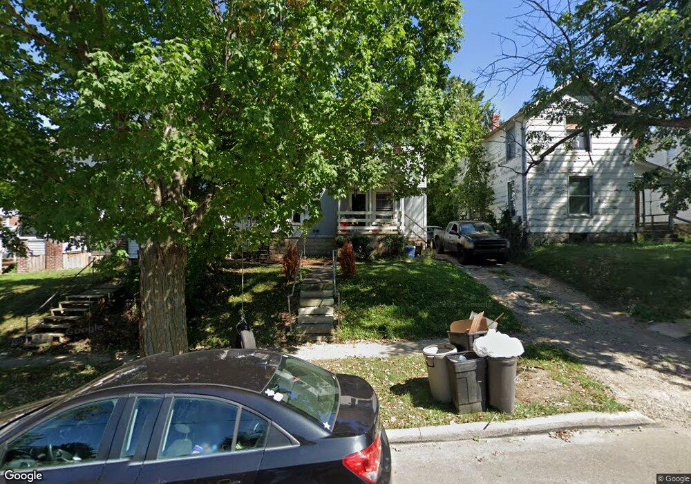
50 Rowland Ave Mansfield, OH 44903
Estimated Value: $76,244 - $155,000
4
Beds
2
Baths
1,590
Sq Ft
$61/Sq Ft
Est. Value
About This Home
This home is located at 50 Rowland Ave, Mansfield, OH 44903 and is currently estimated at $97,311, approximately $61 per square foot. 50 Rowland Ave is a home located in Richland County with nearby schools including Goal Digital Academy, Mansfield Elective Academy, and St. Peter's High School/Junior High.
Ownership History
Date
Name
Owned For
Owner Type
Purchase Details
Closed on
May 11, 2023
Sold by
Wip Properties Llc
Bought by
Matney Property Development Llc
Current Estimated Value
Purchase Details
Closed on
Sep 14, 2004
Sold by
Nemeth Attila S and Nemeth Sandra
Bought by
Wip Properties Llc
Purchase Details
Closed on
Mar 26, 1993
Sold by
Switzer Dale R
Bought by
Nemeth Attila S
Create a Home Valuation Report for This Property
The Home Valuation Report is an in-depth analysis detailing your home's value as well as a comparison with similar homes in the area
Home Values in the Area
Average Home Value in this Area
Purchase History
| Date | Buyer | Sale Price | Title Company |
|---|---|---|---|
| Matney Property Development Llc | $123,000 | Chicago Title | |
| Matney Property Development Llc | $123,000 | Chicago Title | |
| Wip Properties Llc | $50,000 | Lawyers Title | |
| Nemeth Attila S | $65,000 | -- |
Source: Public Records
Tax History Compared to Growth
Tax History
| Year | Tax Paid | Tax Assessment Tax Assessment Total Assessment is a certain percentage of the fair market value that is determined by local assessors to be the total taxable value of land and additions on the property. | Land | Improvement |
|---|---|---|---|---|
| 2024 | $649 | $13,560 | $1,270 | $12,290 |
| 2023 | $649 | $13,560 | $1,270 | $12,290 |
| 2022 | $683 | $11,960 | $1,230 | $10,730 |
| 2021 | $688 | $11,960 | $1,230 | $10,730 |
| 2020 | $704 | $11,960 | $1,230 | $10,730 |
| 2019 | $780 | $11,960 | $1,230 | $10,730 |
| 2018 | $770 | $11,960 | $1,230 | $10,730 |
| 2017 | $825 | $11,960 | $1,230 | $10,730 |
| 2016 | $901 | $13,950 | $2,600 | $11,350 |
| 2015 | $901 | $13,950 | $2,600 | $11,350 |
| 2014 | $849 | $13,950 | $2,600 | $11,350 |
| 2012 | $325 | $13,960 | $2,740 | $11,220 |
Source: Public Records
Map
Nearby Homes
- 80 Rowland Ave
- 96 Helen Ave
- 120 Gettings Place
- 116 Penn Ave
- 38 Baldwin Ave
- 406 Sherman Place
- 37 Baldwin Ave
- 24 Stewart Ave S
- 76 Bartley Ave
- 21 Glenwood Blvd
- 88 Sherman Ave
- 611 Park Ave W
- 132 Sycamore St
- 71 Glenwood Blvd
- 41 Parkwood Blvd
- 114 Vennum Ave
- 126 Dawson Ave
- 237 Helen Ave
- 118 Lind Ave
- 118 Parkwood Blvd
- 50 Rowland Ave Unit 50.5 Rowland
- 50 Rowland Ave Unit 50 Rowland
- 52 Rowland Ave Unit 56
- 46 Rowland Ave
- 42 Rowland Ave
- 477 W 3rd St
- 40 Rowland Ave
- 38 Rowland Ave Unit 40
- 473 W 3rd St
- 45 Rowland Ave
- 47 Rowland Ave
- 476 W 3rd St
- 36 Rowland Ave
- 59 Rowland Ave
- 471 W 3rd St
- 474 W 3rd St
- 64 Rowland Ave
- 68 Rowland Ave
- 63 Rowland Ave
- 507 W 3rd St