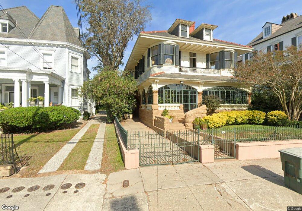
50 S Battery St Unit A Charleston, SC 29401
South of Broad NeighborhoodEstimated Value: $1,245,000 - $1,345,244
2
Beds
2
Baths
1,728
Sq Ft
$756/Sq Ft
Est. Value
About This Home
This home is located at 50 S Battery St Unit A, Charleston, SC 29401 and is currently estimated at $1,307,061, approximately $756 per square foot. 50 S Battery St Unit A is a home located in Charleston County with nearby schools including Memminger Elementary School, Simmons Pinckney Middle, and Burke High School.
Ownership History
Date
Name
Owned For
Owner Type
Purchase Details
Closed on
Feb 21, 2020
Sold by
Schwab James C
Bought by
Schwab James C and Schwab Elizabeth
Current Estimated Value
Purchase Details
Closed on
Jan 17, 2020
Sold by
Wall Linda S and The Revocable Trust Of Linda S
Bought by
Schwab James C
Purchase Details
Closed on
May 12, 2009
Sold by
Wall Linda S
Bought by
Wall Edward D
Purchase Details
Closed on
Feb 17, 2009
Sold by
Wall Edward D
Bought by
Wall Linda S
Purchase Details
Closed on
Dec 8, 2006
Sold by
Hbl Holdings Llc
Bought by
Schwab James C and Wall Carl H
Create a Home Valuation Report for This Property
The Home Valuation Report is an in-depth analysis detailing your home's value as well as a comparison with similar homes in the area
Home Values in the Area
Average Home Value in this Area
Purchase History
| Date | Buyer | Sale Price | Title Company |
|---|---|---|---|
| Schwab James C | -- | None Available | |
| Schwab James C | $448,000 | None Available | |
| Wall Edward D | -- | -- | |
| Wall Linda S | -- | -- | |
| Schwab James C | $725,000 | None Available |
Source: Public Records
Tax History Compared to Growth
Tax History
| Year | Tax Paid | Tax Assessment Tax Assessment Total Assessment is a certain percentage of the fair market value that is determined by local assessors to be the total taxable value of land and additions on the property. | Land | Improvement |
|---|---|---|---|---|
| 2024 | $3,827 | $29,800 | $0 | $0 |
| 2023 | $3,827 | $29,800 | $0 | $0 |
| 2022 | $3,590 | $29,800 | $0 | $0 |
| 2021 | $3,769 | $29,800 | $0 | $0 |
| 2020 | $3,433 | $26,070 | $0 | $0 |
| 2019 | $10,042 | $36,610 | $0 | $0 |
| 2017 | $9,591 | $36,610 | $0 | $0 |
| 2016 | $9,277 | $36,610 | $0 | $0 |
| 2015 | $8,852 | $36,610 | $0 | $0 |
| 2014 | $7,864 | $0 | $0 | $0 |
| 2011 | -- | $0 | $0 | $0 |
Source: Public Records
Map
Nearby Homes
- 50 S Battery St Unit D
- 50 S Battery St Unit C
- 50 S Battery St Unit B
- 48 S Battery St Unit A
- 48 S Battery St
- 48 S Battery St Unit 1/2
- 52 S Battery St Unit G
- 52 S Battery St Unit F
- 52 S Battery St Unit D
- 52 S Battery St Unit C
- 52 S Battery St Unit B
- 52 S Battery St Unit A
- 48 1/2 S Battery
- 56 S Battery St
- 2 Legare St Unit 1/2
- 2 Legare St
- 23 Lamboll St
- 44 S Battery St
- 21 Lamboll St
- 25 Lamboll St