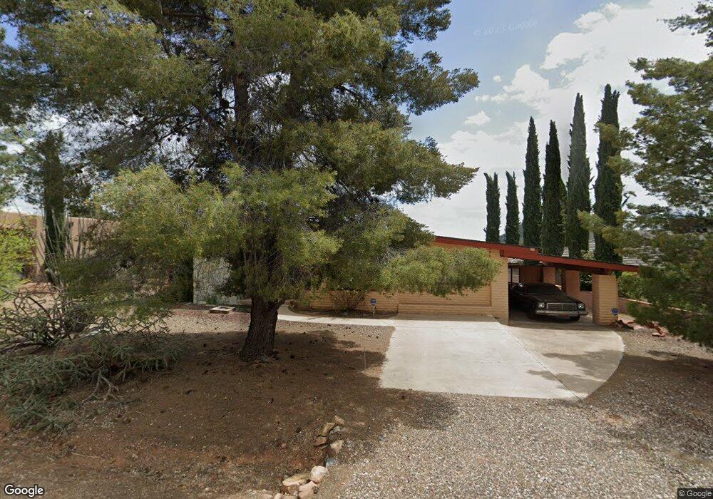
50 Sandrock Rd Sedona, AZ 86351
Village of Oak Creek (Big Park) NeighborhoodEstimated Value: $592,605 - $831,000
--
Bed
--
Bath
1,786
Sq Ft
$403/Sq Ft
Est. Value
About This Home
This home is located at 50 Sandrock Rd, Sedona, AZ 86351 and is currently estimated at $720,151, approximately $403 per square foot. 50 Sandrock Rd is a home located in Yavapai County with nearby schools including Sedona Red Rock Junior/Senior High School and Verde Valley School.
Ownership History
Date
Name
Owned For
Owner Type
Purchase Details
Closed on
Oct 29, 1998
Sold by
Mcneill Harold A and Mcneill Tambra J
Bought by
Cain Nicholas and Cain Angie H
Current Estimated Value
Home Financials for this Owner
Home Financials are based on the most recent Mortgage that was taken out on this home.
Original Mortgage
$106,000
Outstanding Balance
$23,036
Interest Rate
6.54%
Mortgage Type
New Conventional
Estimated Equity
$697,115
Purchase Details
Closed on
Jul 11, 1995
Sold by
Cummins Daniel and Cummins Dorothy M
Bought by
Mcneill Harold A and Mcneill Tambra J
Home Financials for this Owner
Home Financials are based on the most recent Mortgage that was taken out on this home.
Original Mortgage
$105,000
Interest Rate
7.63%
Mortgage Type
New Conventional
Create a Home Valuation Report for This Property
The Home Valuation Report is an in-depth analysis detailing your home's value as well as a comparison with similar homes in the area
Home Values in the Area
Average Home Value in this Area
Purchase History
| Date | Buyer | Sale Price | Title Company |
|---|---|---|---|
| Cain Nicholas | $132,500 | Transnation Title Ins Co | |
| Mcneill Harold A | $150,000 | Yavapai Coconino Title Agenc |
Source: Public Records
Mortgage History
| Date | Status | Borrower | Loan Amount |
|---|---|---|---|
| Open | Cain Nicholas | $106,000 | |
| Previous Owner | Mcneill Harold A | $105,000 |
Source: Public Records
Tax History Compared to Growth
Tax History
| Year | Tax Paid | Tax Assessment Tax Assessment Total Assessment is a certain percentage of the fair market value that is determined by local assessors to be the total taxable value of land and additions on the property. | Land | Improvement |
|---|---|---|---|---|
| 2026 | $2,562 | $48,071 | -- | -- |
| 2024 | $2,489 | $50,528 | -- | -- |
| 2023 | $2,489 | $38,177 | $11,875 | $26,302 |
| 2022 | $2,444 | $30,157 | $10,127 | $20,030 |
| 2021 | $2,480 | $30,095 | $10,074 | $20,021 |
| 2020 | $2,480 | $0 | $0 | $0 |
| 2019 | $2,456 | $0 | $0 | $0 |
| 2018 | $2,488 | $0 | $0 | $0 |
| 2017 | $2,426 | $0 | $0 | $0 |
| 2016 | $2,394 | $0 | $0 | $0 |
| 2015 | -- | $0 | $0 | $0 |
| 2014 | -- | $0 | $0 | $0 |
Source: Public Records
Map
Nearby Homes
- 4601 Redrock Rd Unit 2
- 5 Palatki Cir
- 115 Merry Go Round Rock Rd
- 230 Red Rock Cove Dr
- 25 Miner Cir
- 125 Sycamore St
- 55 Cathedral Rock Dr Unit 10
- 165 Moons View Rd
- 40 W Valley Dr
- 105 Gunsight Hills Dr
- 60 Gunsight Hills Dr
- 30 W Valley Dr
- 25 Courthouse Butte Rd
- 20 W Valley Dr
- 45 Yellow Hat Cir
- 70 Teapot Rock Ave
- 1105 Verde Valley School Rd
- 35 Brielle Ln
- 75 Wild Turkey Rd
- 30 Sand Rock Rd
- 30 Sandrock Rd
- 60 Sandrock Rd
- 25 High Sky Dr
- 35 High Sky Dr
- 55 Sandrock Rd
- 45 Sandrock Rd
- 20 Sand Rock Rd
- 20 Sandrock Rd
- 15 High Sky Dr
- 65 Sandrock Rd
- 175 Redrock Rd
- 165 Redrock Rd
- 35 Sandrock Rd
- 175 Red Rock Rd
- 25 Sand Rock Rd
- 40 High Sky Dr
- 145 Redrock Rd Unit ID1247226P
- 145 Redrock Rd
- 10 High Sky