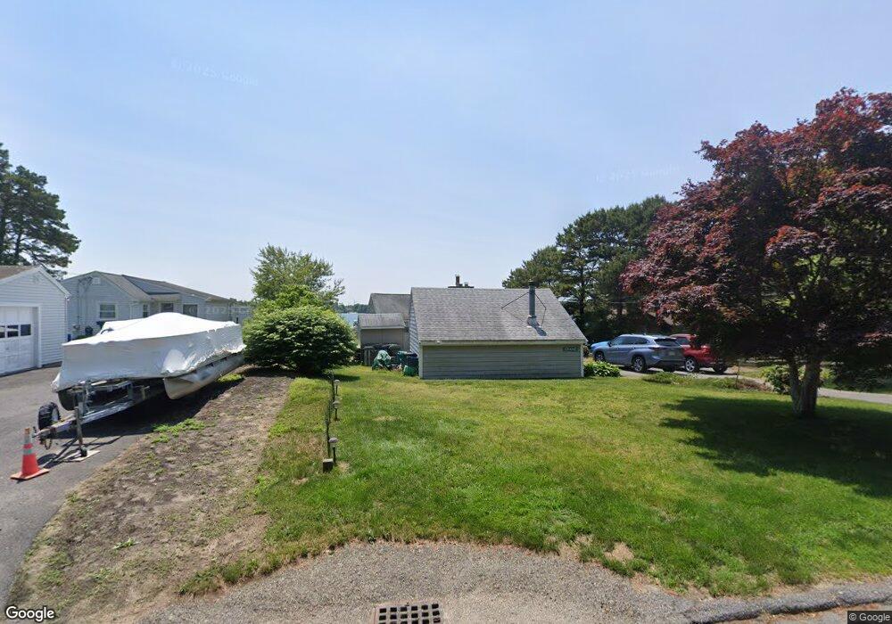
50 Scarlet Dr Plymouth, MA 02360
Estimated Value: $551,000 - $796,000
2
Beds
2
Baths
960
Sq Ft
$686/Sq Ft
Est. Value
About This Home
This home is located at 50 Scarlet Dr, Plymouth, MA 02360 and is currently estimated at $658,321, approximately $685 per square foot. 50 Scarlet Dr is a home located in Plymouth County with nearby schools including South Elementary School, Plymouth South Middle School, and Plymouth South High School.
Ownership History
Date
Name
Owned For
Owner Type
Purchase Details
Closed on
Jun 12, 2024
Sold by
Ann E Crane Testmentary T E and Ann Crane
Bought by
Smith Kathleen C and Crane John E
Current Estimated Value
Purchase Details
Closed on
Apr 26, 2022
Sold by
Crane Leonard E
Bought by
Smith Kathleen C
Purchase Details
Closed on
Sep 11, 2020
Sold by
Leonard E E and Leonard Ann E
Bought by
Crane Leonard E and Crane Ann E
Purchase Details
Closed on
Jan 18, 1995
Sold by
Harold Riddell T and Olsen Suzanne E
Bought by
Crane Leonard E and Crane Ann E
Create a Home Valuation Report for This Property
The Home Valuation Report is an in-depth analysis detailing your home's value as well as a comparison with similar homes in the area
Home Values in the Area
Average Home Value in this Area
Purchase History
| Date | Buyer | Sale Price | Title Company |
|---|---|---|---|
| Smith Kathleen C | -- | None Available | |
| Smith Kathleen C | -- | None Available | |
| Smith Kathleen C | -- | None Available | |
| Smith Kathleen C | -- | None Available | |
| Crane Leonard E | -- | None Available | |
| Crane Leonard E | -- | None Available | |
| Crane Leonard E | $125,000 | -- | |
| Crane Leonard E | $125,000 | -- |
Source: Public Records
Mortgage History
| Date | Status | Borrower | Loan Amount |
|---|---|---|---|
| Previous Owner | Crane Leonard E | $35,000 |
Source: Public Records
Tax History Compared to Growth
Tax History
| Year | Tax Paid | Tax Assessment Tax Assessment Total Assessment is a certain percentage of the fair market value that is determined by local assessors to be the total taxable value of land and additions on the property. | Land | Improvement |
|---|---|---|---|---|
| 2025 | $6,875 | $541,800 | $335,700 | $206,100 |
| 2024 | $6,703 | $520,800 | $328,700 | $192,100 |
| 2023 | $6,385 | $465,700 | $287,000 | $178,700 |
| 2022 | $6,309 | $408,900 | $260,900 | $148,000 |
| 2021 | $6,272 | $388,100 | $260,900 | $127,200 |
| 2020 | $5,906 | $361,200 | $253,900 | $107,300 |
| 2019 | $5,359 | $324,000 | $226,100 | $97,900 |
| 2018 | $5,015 | $304,700 | $208,700 | $96,000 |
| 2017 | $4,916 | $296,500 | $208,700 | $87,800 |
| 2016 | $5,232 | $321,600 | $233,800 | $87,800 |
| 2015 | $4,339 | $279,200 | $191,300 | $87,900 |
| 2014 | $4,180 | $276,300 | $191,300 | $85,000 |
Source: Public Records
Map
Nearby Homes
- 35 Scarlet Dr
- 4 Sandpiper Ln
- 18 Scarlet Dr
- 464 Lunns Way
- 2 Wind Rose Ln
- 15 S Wind Dr
- 455 Lunns Way
- 119 Nathan Ln
- 7 Central Ave
- 19 Great Wind Dr
- 32 Lake View Blvd
- 8 Joyce Dr
- 137 Sandy Beach Rd
- 43 Freeman Dr
- 29 Pioneer Trail
- 20 Towering Trees Rd
- 206R Bourne Rd
- 5 Bearberry Path Unit 5
- 196 Bourne Rd
- 756 Bourne Rd