50 Sharp St Powell, OH 43065
Liberty AreaEstimated Value: $469,000 - $670,000
About This Home
This home is located at 50 Sharp St, Powell, OH 43065 and is currently estimated at $535,016, approximately $305 per square foot. 50 Sharp St is a home located in Delaware County with nearby schools including Wyandot Run Elementary School, Olentangy Liberty Middle School, and Olentangy High School.
Ownership History
We collect this data history from publicly available records. To have your information removed, we recommend requesting removal directly through your county’s website.
Purchase Details
Purchase Details
Home Values in the Area
Average Home Value in this Area
Purchase History
We collect this data history from publicly available records. To have your information removed, we recommend requesting removal directly through your county’s website.
| Date | Buyer | Sale Price | Title Company |
|---|---|---|---|
| -- | None Listed On Document | ||
| -- | -- |
Tax History
We collect this data history from publicly available records. To have your information removed, we recommend requesting removal directly through your county’s website.
| Year | Tax Paid | Tax Assessment Tax Assessment Total Assessment is a certain percentage of the fair market value that is determined by local assessors to be the total taxable value of land and additions on the property. | Land | Improvement |
|---|---|---|---|---|
| 2025 | $7,591 | $134,620 | $36,930 | $97,690 |
| 2024 | $7,737 | $134,620 | $36,930 | $97,690 |
| 2023 | $7,754 | $134,620 | $36,930 | $97,690 |
| 2022 | $5,900 | $86,980 | $19,640 | $67,340 |
| 2021 | $6,119 | $86,980 | $19,640 | $67,340 |
| 2020 | $6,025 | $86,980 | $19,640 | $67,340 |
| 2019 | $4,989 | $76,410 | $17,850 | $58,560 |
| 2018 | $5,047 | $76,410 | $17,850 | $58,560 |
| 2017 | $4,912 | $73,510 | $14,880 | $58,630 |
| 2016 | $5,316 | $73,510 | $14,880 | $58,630 |
| 2015 | $4,741 | $73,510 | $14,880 | $58,630 |
| 2014 | -- | $73,510 | $14,880 | $58,630 |
| 2013 | $4,802 | $71,790 | $14,880 | $56,910 |
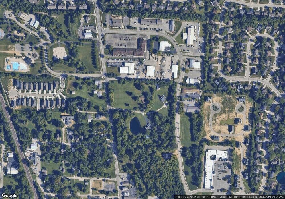
Map
- 150 Barrington Place
- 130 Barrington Place
- 323 Village Ridge Dr
- 104 Encore Park Bend S
- 121 Encore Park Bend N
- 122 Encore Park Bend N
- 122 Encore Park Bend
- 116 Encore Park Bend
- 116 Encore Park Bend S
- 121 Encore Park Bend
- 52 Beech Ridge Dr
- 80 Brookehill Dr
- 222 Beech Ridge Dr
- 7421 Phoebe Ln
- 7349 Celebration Dr
- 7312 Celebration Dr
- 171 W Case St
- 6384 Davis Cir
- 185 W Case St
- 252 Hopewell Dr
- 52 Sharp St
- 53 Sharp St
- 80 Grace Dr
- 80 Grace Dr Unit F
- 110 Grace Dr
- 0 Grace Dr
- 55 Sharp St
- 60 Grace Dr
- 214 N Liberty St
- 155 Chedworth Row
- 240 N Liberty St
- 211 Muladore Dr
- 201 Muladore Dr
- 217 Muladore Dr
- 164 Chedworth Row
- 149 Chedworth Row
- 67 Grace Dr
- 154 Chedworth Row
- 221 Muladore Dr
- 193 Muladore Dr
Ask me questions while you tour the home.