50 Sherman St Saint Clair, MO 63077
Estimated Value: $141,000 - $220,000
3
Beds
1
Bath
816
Sq Ft
$236/Sq Ft
Est. Value
About This Home
This home is located at 50 Sherman St, Saint Clair, MO 63077 and is currently estimated at $192,895, approximately $236 per square foot. 50 Sherman St is a home located in Franklin County with nearby schools including St. Clair Elementary School, Edgar Murray Elementary School, and St. Clair Junior High School.
Ownership History
Date
Name
Owned For
Owner Type
Purchase Details
Closed on
Aug 3, 2013
Sold by
Ennis Robert G and Ennis Betty
Bought by
The Lackey Group Llc
Current Estimated Value
Purchase Details
Closed on
Jun 1, 2009
Sold by
Ennis Robert G and Ennis Betty
Bought by
The Lackey Group Llc
Home Financials for this Owner
Home Financials are based on the most recent Mortgage that was taken out on this home.
Original Mortgage
$28,000
Interest Rate
4.7%
Mortgage Type
Purchase Money Mortgage
Create a Home Valuation Report for This Property
The Home Valuation Report is an in-depth analysis detailing your home's value as well as a comparison with similar homes in the area
Home Values in the Area
Average Home Value in this Area
Purchase History
| Date | Buyer | Sale Price | Title Company |
|---|---|---|---|
| The Lackey Group Llc | -- | -- | |
| The Lackey Group Llc | -- | None Available |
Source: Public Records
Mortgage History
| Date | Status | Borrower | Loan Amount |
|---|---|---|---|
| Previous Owner | The Lackey Group Llc | $28,000 |
Source: Public Records
Tax History
| Year | Tax Paid | Tax Assessment Tax Assessment Total Assessment is a certain percentage of the fair market value that is determined by local assessors to be the total taxable value of land and additions on the property. | Land | Improvement |
|---|---|---|---|---|
| 2025 | $1,760 | $26,128 | $0 | $0 |
| 2024 | $1,760 | $26,839 | $0 | $0 |
| 2023 | $1,672 | $26,839 | $0 | $0 |
| 2022 | $1,704 | $27,637 | $0 | $0 |
| 2021 | $1,701 | $27,637 | $0 | $0 |
| 2020 | $1,557 | $24,263 | $0 | $0 |
| 2019 | $1,544 | $24,263 | $0 | $0 |
| 2018 | $1,414 | $21,956 | $0 | $0 |
| 2017 | $1,412 | $21,956 | $0 | $0 |
| 2016 | $1,332 | $20,688 | $0 | $0 |
| 2015 | $1,235 | $20,688 | $0 | $0 |
| 2014 | $1,245 | $20,868 | $0 | $0 |
Source: Public Records
Map
Nearby Homes
- 325 Iris Ct
- 605 N Main St
- 235 E Oak St
- 330 Young St
- 100 E North St
- 830 Walton St
- 45 E Oak St
- 390 Highway Dr
- 208 Mosley Ave
- 5 Lots Mosley Ave
- 127 Stone Ledge Dr
- 909 Q Ave
- 347 Roller Rd
- 1008 Cathy Cir
- 322 Cart Path Ln
- 0 Crescent Lake Rd Unit MIS25079528
- 0 Gravois Rd Unit 11555468
- 614 T-Box Dr
- 345 Robin Ln
- 1557 Mill Hill Rd
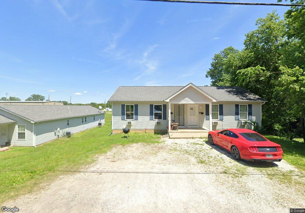
- 40 Sherman St
- 30 Sherman St
- 755 Mill Hill Rd
- 705 Mill Hill Rd
- 5 Sherman St
- 35 Sherman St
- 45 Sherman St
- 655 Mill Hill Rd
- 785 Mill Hill Rd
- 0 Nashville St
- 40 N Frisco St
- 60 N Frisco St
- 80 N Frisco St
- 905 Mill Hill Rd
- 730 Mill Hill Rd
- 650 Mill Hill Rd
- 740 Mill Hill Rd
- 770 Mill Hill Rd
- 610 Mill Hill Rd
- 620 Grant St
Your Personal Tour Guide
Ask me questions while you tour the home.