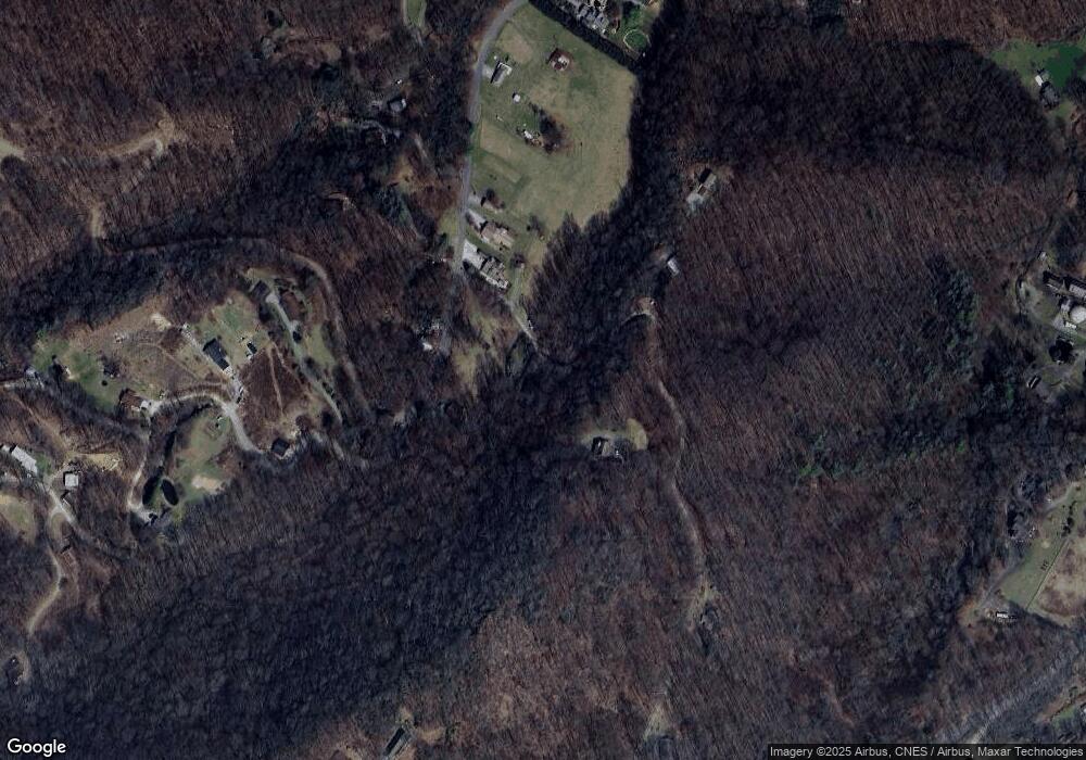
50 Songbird Trail Waynesville, NC 28785
Estimated Value: $291,923 - $334,000
2
Beds
1
Bath
768
Sq Ft
$410/Sq Ft
Est. Value
About This Home
This home is located at 50 Songbird Trail, Waynesville, NC 28785 and is currently estimated at $314,981, approximately $410 per square foot. 50 Songbird Trail is a home located in Haywood County with nearby schools including Jonathan Valley Elementary School, Waynesville Middle, and Tuscola High.
Ownership History
Date
Name
Owned For
Owner Type
Purchase Details
Closed on
Oct 22, 2010
Sold by
Dickinson Lillian H
Bought by
Gilbert Frances S and Dickinson Linda Diane
Current Estimated Value
Create a Home Valuation Report for This Property
The Home Valuation Report is an in-depth analysis detailing your home's value as well as a comparison with similar homes in the area
Home Values in the Area
Average Home Value in this Area
Purchase History
| Date | Buyer | Sale Price | Title Company |
|---|---|---|---|
| Gilbert Frances S | -- | None Available |
Source: Public Records
Tax History Compared to Growth
Tax History
| Year | Tax Paid | Tax Assessment Tax Assessment Total Assessment is a certain percentage of the fair market value that is determined by local assessors to be the total taxable value of land and additions on the property. | Land | Improvement |
|---|---|---|---|---|
| 2025 | -- | $162,000 | $28,000 | $134,000 |
| 2024 | $1,185 | $165,500 | $28,000 | $137,500 |
| 2023 | $1,185 | $165,500 | $28,000 | $137,500 |
| 2022 | $1,160 | $165,500 | $28,000 | $137,500 |
| 2021 | $1,160 | $165,500 | $28,000 | $137,500 |
| 2020 | $1,052 | $136,400 | $28,000 | $108,400 |
| 2019 | $1,057 | $136,400 | $28,000 | $108,400 |
| 2018 | $1,057 | $136,400 | $28,000 | $108,400 |
| 2017 | $1,057 | $136,400 | $0 | $0 |
| 2016 | $1,066 | $141,800 | $0 | $0 |
| 2015 | $1,066 | $141,800 | $0 | $0 |
| 2014 | $959 | $141,800 | $0 | $0 |
Source: Public Records
Map
Nearby Homes
- 000 Songbird Trail
- 31 Windsong Dr
- 8 Lots Frontier Way
- 367 Biodome Dr
- 3 Michael Dr Unit 3
- 269 Oakstone Dr
- 575 Twin Brook Dr
- 000 Roaring Creek Ln
- 61 Calm Creek Rd
- 00 Shady Rest Dr Unit 37
- 110 Clear Creek Ln
- 114 Clear Creek Ln
- 00 Buckeye Dr Unit 35
- 4 Roaring Creek Ln
- Lot 17 Covered Bridge Trail Unit 17
- Lot 24 Covered Bridge Trail Unit 24
- 806 Twin Brook Dr Unit 6A,6B,7A,7B
- 505 Middle Top Loop
- 0 Kitty Ln Unit CAR4270624
- 85 Garnet Spring Ln
- 681 Pot Leg Rd
- 740 Pot Leg Rd
- 659 Pot Leg Rd
- 775 Pot Leg Rd
- Lot 102 Frontier Way Unit 102
- 795 Pot Leg Rd
- 680 Pot Leg Rd
- TBD Songbird Trail
- 824 Pot Leg Rd
- 8 N Ridge Dr
- 692 Pot Leg Rd
- 61 Songbird Trail
- 581 Pot Leg Rd
- 924 Pot Leg Rd
- 595 Pot Leg Rd
- Lots 101, 102, 103,1 Frontier Way
- 60.43 Acres Off Pot Leg Rd
- 62.6 Acres Off Pot Leg Rd
- 71.8 Acres Off Pot Leg Rd
- 8 Acres Off Pot Leg Rd
