50 Spence Rd Union Hall, VA 24176
Estimated Value: $976,006 - $1,091,000
3
Beds
3
Baths
3,352
Sq Ft
$314/Sq Ft
Est. Value
About This Home
This home is located at 50 Spence Rd, Union Hall, VA 24176 and is currently estimated at $1,053,752, approximately $314 per square foot. 50 Spence Rd is a home located in Franklin County with nearby schools including Glade Hill Elementary School, Benjamin Franklin Middle School, and Franklin County High School.
Ownership History
Date
Name
Owned For
Owner Type
Purchase Details
Closed on
Dec 14, 2010
Sold by
Suntrust Bank
Bought by
Green David W and Green Janice C
Current Estimated Value
Home Financials for this Owner
Home Financials are based on the most recent Mortgage that was taken out on this home.
Original Mortgage
$280,000
Outstanding Balance
$183,828
Interest Rate
4.25%
Mortgage Type
New Conventional
Estimated Equity
$869,924
Purchase Details
Closed on
Apr 26, 2010
Sold by
Hunt Patricia K
Bought by
Suntrust Bank
Create a Home Valuation Report for This Property
The Home Valuation Report is an in-depth analysis detailing your home's value as well as a comparison with similar homes in the area
Home Values in the Area
Average Home Value in this Area
Purchase History
| Date | Buyer | Sale Price | Title Company |
|---|---|---|---|
| Green David W | -- | -- | |
| Suntrust Bank | $330,100 | -- |
Source: Public Records
Mortgage History
| Date | Status | Borrower | Loan Amount |
|---|---|---|---|
| Open | Green David W | $280,000 |
Source: Public Records
Tax History
| Year | Tax Paid | Tax Assessment Tax Assessment Total Assessment is a certain percentage of the fair market value that is determined by local assessors to be the total taxable value of land and additions on the property. | Land | Improvement |
|---|---|---|---|---|
| 2025 | $3,371 | $784,000 | $227,700 | $556,300 |
| 2024 | $3,371 | $784,000 | $227,700 | $556,300 |
| 2023 | $3,299 | $540,800 | $220,700 | $320,100 |
| 2022 | $3,299 | $540,800 | $220,700 | $320,100 |
| 2021 | $3,299 | $540,800 | $220,700 | $320,100 |
| 2020 | $3,299 | $540,800 | $220,700 | $320,100 |
| 2019 | $3,262 | $534,700 | $235,700 | $299,000 |
| 2018 | $3,262 | $534,700 | $235,700 | $299,000 |
| 2017 | $2,941 | $540,000 | $251,000 | $289,000 |
| 2016 | $2,941 | $540,000 | $251,000 | $289,000 |
| 2015 | $2,916 | $540,000 | $251,000 | $289,000 |
| 2014 | $2,916 | $540,000 | $251,000 | $289,000 |
| 2013 | $2,916 | $540,000 | $251,000 | $289,000 |
Source: Public Records
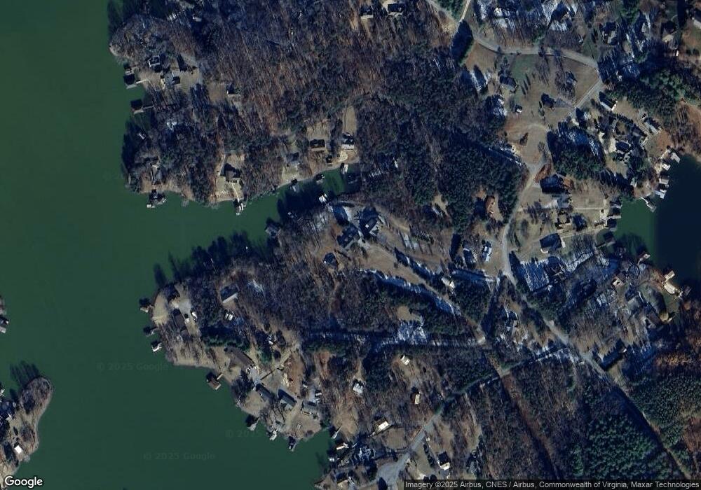
Map
Nearby Homes
- 230 Sterling Cir
- 311 Morningwood Ln
- 218 Twin Chimneys Dr
- Lot A2 Cliffs Dr
- Lot 24 Cliffs Dr
- 28 Queen Mothers Ct
- Lot 70-A Boxwood Green Dr
- 514 Oakshire Ln
- 239 Cedar Bay
- LOT 11 Royal Estates Blvd
- 524 Fox Chase Rd
- 259 Brooks Point Ln
- Lot 40 Tranquility Bay Dr
- 290 Winding Way
- Lot 1 Piney Point Rd
- 331 Blue Heron Dr
- Lot 7B Hillcrest Heights Dr
- 276 Bluewater Dr
- 355 Dillards Hill Rd
- Lot 36 Shearwater Dr
Your Personal Tour Guide
Ask me questions while you tour the home.