50 Spencer Rd Unit 36L Boxborough, MA 01719
Estimated Value: $272,000 - $278,138
2
Beds
1
Bath
910
Sq Ft
$302/Sq Ft
Est. Value
About This Home
This home is located at 50 Spencer Rd Unit 36L, Boxborough, MA 01719 and is currently estimated at $274,535, approximately $301 per square foot. 50 Spencer Rd Unit 36L is a home located in Middlesex County with nearby schools including Acton-Boxborough Regional High School.
Ownership History
Date
Name
Owned For
Owner Type
Purchase Details
Closed on
Nov 3, 2017
Sold by
Lima Rita P
Bought by
Lima Denis M
Current Estimated Value
Purchase Details
Closed on
Feb 9, 1994
Sold by
Browne Christopher G and Griffith Angela M
Bought by
Lima Dennis M and Lima Rita P
Home Financials for this Owner
Home Financials are based on the most recent Mortgage that was taken out on this home.
Original Mortgage
$56,450
Interest Rate
7.08%
Mortgage Type
Purchase Money Mortgage
Create a Home Valuation Report for This Property
The Home Valuation Report is an in-depth analysis detailing your home's value as well as a comparison with similar homes in the area
Home Values in the Area
Average Home Value in this Area
Purchase History
| Date | Buyer | Sale Price | Title Company |
|---|---|---|---|
| Lima Denis M | -- | -- | |
| Lima Dennis M | $58,900 | -- |
Source: Public Records
Mortgage History
| Date | Status | Borrower | Loan Amount |
|---|---|---|---|
| Previous Owner | Lima Dennis M | $29,500 | |
| Previous Owner | Lima Dennis M | $56,450 |
Source: Public Records
Tax History Compared to Growth
Tax History
| Year | Tax Paid | Tax Assessment Tax Assessment Total Assessment is a certain percentage of the fair market value that is determined by local assessors to be the total taxable value of land and additions on the property. | Land | Improvement |
|---|---|---|---|---|
| 2025 | $3,829 | $252,900 | $0 | $252,900 |
| 2024 | $3,398 | $226,700 | $0 | $226,700 |
| 2023 | $2,806 | $180,800 | $0 | $180,800 |
| 2022 | $2,644 | $151,800 | $0 | $151,800 |
| 2020 | $2,406 | $143,900 | $0 | $143,900 |
| 2019 | $2,077 | $126,500 | $0 | $126,500 |
| 2018 | $2,039 | $124,000 | $0 | $124,000 |
| 2017 | $1,834 | $109,100 | $0 | $109,100 |
| 2016 | $1,656 | $101,200 | $0 | $101,200 |
| 2015 | $1,563 | $93,900 | $0 | $93,900 |
| 2014 | $1,597 | $90,300 | $0 | $90,300 |
Source: Public Records
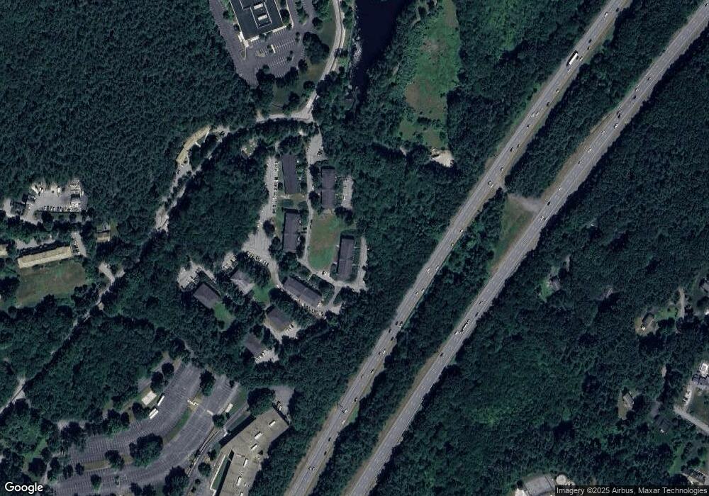
Map
Nearby Homes
- 50 Spencer Rd Unit 36
- 58 Spencer Rd Unit 18K
- 42 Swanson Ct Unit 14A
- 53 Swanson Ct Unit 36C
- 220 Swanson Rd Unit 605
- 220 Swanson Rd Unit 606
- 176 Swanson Rd Unit 309
- 89 School House Ln
- 1155 Burroughs Rd
- 139 Picnic St
- 310 Codman Hill Rd Unit 35D
- 63 Leonard Rd Unit 63
- 166 Littleton Rd Unit 3
- 777 Depot Rd
- 24 Fairbanks St
- 62 Waite Rd
- 4 Bolton Rd
- 11 Fairbanks St Unit 2
- 332 Old Littleton Rd
- 5 Fairbank St
- 49 Spencer Rd Unit H16
- 24 Spencer Rd Unit 36N
- 69 Spencer Rd Unit 36J
- 61 Spencer Rd Unit 36I
- 49 Spencer Rd Unit 36H
- 41 Spencer Rd Unit 36G
- 24 Spencer Rd Unit 34N
- 32 Spencer Rd Unit 34M
- 50 Spencer Rd Unit 34L
- 69 Spencer Rd Unit 34J
- 61 Spencer Rd Unit 34I
- 49 Spencer Rd Unit 34H
- 41 Spencer Rd Unit 34G
- 24 Spencer Rd Unit 32N
- 32 Spencer Rd Unit 32M
- 50 Spencer Rd Unit 32L
- 69 Spencer Rd Unit 32J
- 61 Spencer Rd Unit 32I
- 49 Spencer Rd Unit 32H
- 41 Spencer Rd Unit 32G