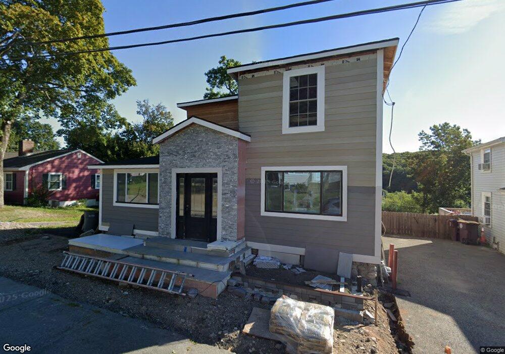
50 Squanto Rd North Weymouth, MA 02191
Estimated Value: $581,000 - $724,835
4
Beds
2
Baths
1,921
Sq Ft
$336/Sq Ft
Est. Value
About This Home
This home is located at 50 Squanto Rd, North Weymouth, MA 02191 and is currently estimated at $645,709, approximately $336 per square foot. 50 Squanto Rd is a home located in Norfolk County with nearby schools including Wessagusset Elementary School, Abigail Adams Middle School, and Weymouth Middle School Chapman.
Ownership History
Date
Name
Owned For
Owner Type
Purchase Details
Closed on
May 6, 2020
Sold by
Us Bank Na Tr
Bought by
Super Serv Inc
Current Estimated Value
Purchase Details
Closed on
Jul 17, 2015
Sold by
Campbell Robert and Us Bank Na Tr
Bought by
Us Bank Na Tr
Purchase Details
Closed on
Nov 17, 2000
Sold by
Field Ann R
Bought by
Campbell Robert and Campbell Tammy
Home Financials for this Owner
Home Financials are based on the most recent Mortgage that was taken out on this home.
Original Mortgage
$179,547
Interest Rate
7.78%
Mortgage Type
Purchase Money Mortgage
Create a Home Valuation Report for This Property
The Home Valuation Report is an in-depth analysis detailing your home's value as well as a comparison with similar homes in the area
Home Values in the Area
Average Home Value in this Area
Purchase History
| Date | Buyer | Sale Price | Title Company |
|---|---|---|---|
| Super Serv Inc | $190,890 | None Available | |
| Us Bank Na Tr | $241,159 | -- | |
| Campbell Robert | $178,000 | -- |
Source: Public Records
Mortgage History
| Date | Status | Borrower | Loan Amount |
|---|---|---|---|
| Previous Owner | Campbell Robert | $179,547 |
Source: Public Records
Tax History Compared to Growth
Tax History
| Year | Tax Paid | Tax Assessment Tax Assessment Total Assessment is a certain percentage of the fair market value that is determined by local assessors to be the total taxable value of land and additions on the property. | Land | Improvement |
|---|---|---|---|---|
| 2025 | $6,343 | $628,000 | $201,300 | $426,700 |
| 2024 | $6,167 | $600,500 | $191,800 | $408,700 |
| 2023 | $5,186 | $496,300 | $177,600 | $318,700 |
| 2022 | $4,718 | $411,700 | $164,400 | $247,300 |
| 2021 | $3,682 | $313,600 | $164,400 | $149,200 |
| 2020 | $3,584 | $300,700 | $164,400 | $136,300 |
| 2019 | $3,236 | $267,000 | $158,100 | $108,900 |
| 2018 | $3,208 | $256,600 | $150,600 | $106,000 |
| 2017 | $3,060 | $238,900 | $136,900 | $102,000 |
| 2016 | $2,995 | $234,000 | $131,600 | $102,400 |
| 2015 | $2,873 | $222,700 | $125,400 | $97,300 |
| 2014 | $2,802 | $210,700 | $116,700 | $94,000 |
Source: Public Records
Map
Nearby Homes
- 14 Pequot Rd
- 41 Pecksuot Rd
- 29 Wituwamat Rd
- 151 Wessagussett Rd
- 137 Wessagussett Rd
- 19-21 Bursley Rd
- 20-22 Bursley Rd
- 20 Great Hill Dr
- 222 Neck St
- 60 Holbrook Rd
- 11 Shaw St
- 43 Standish St
- 28 Birchbrow Ave
- 104 Kings Cove Beach Rd
- 95 Fuller Rd
- 9 Aspinwall Ave
- 12 Wolcott St
- 87 Fort Point Rd
- 51 Beals St Unit 53
- 16 Caldwell St