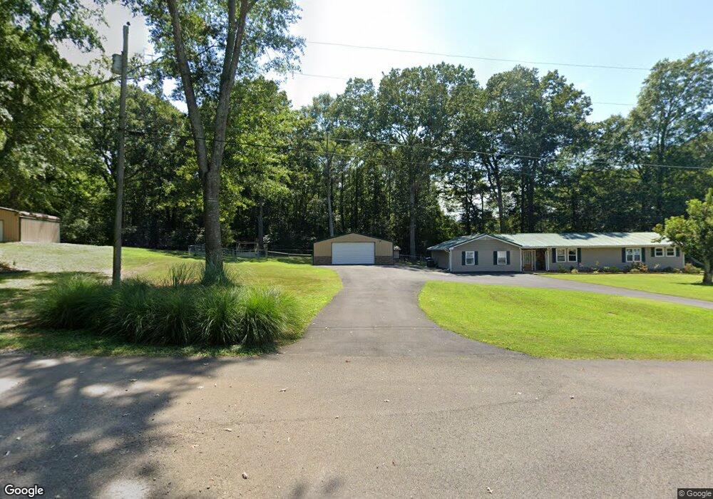
50 Swafford Rd Guntersville, AL 35976
Estimated Value: $37,489 - $237,000
--
Bed
--
Bath
1,020
Sq Ft
$118/Sq Ft
Est. Value
About This Home
This home is located at 50 Swafford Rd, Guntersville, AL 35976 and is currently estimated at $119,872, approximately $117 per square foot. 50 Swafford Rd is a home located in Marshall County with nearby schools including Brindlee Mountain Primary School, Brindlee Mountain Elementary School, and Brindlee Mt Middle School.
Ownership History
Date
Name
Owned For
Owner Type
Purchase Details
Closed on
Jan 27, 2017
Sold by
Daly Patricia Ann
Bought by
Taylor Lee F and Taylor Shari Lynn
Current Estimated Value
Purchase Details
Closed on
May 22, 2015
Create a Home Valuation Report for This Property
The Home Valuation Report is an in-depth analysis detailing your home's value as well as a comparison with similar homes in the area
Home Values in the Area
Average Home Value in this Area
Purchase History
| Date | Buyer | Sale Price | Title Company |
|---|---|---|---|
| Taylor Lee F | $18,000 | None Available | |
| -- | $18,000 | None Available |
Source: Public Records
Tax History Compared to Growth
Tax History
| Year | Tax Paid | Tax Assessment Tax Assessment Total Assessment is a certain percentage of the fair market value that is determined by local assessors to be the total taxable value of land and additions on the property. | Land | Improvement |
|---|---|---|---|---|
| 2024 | $179 | $4,760 | $0 | $0 |
| 2023 | $179 | $4,760 | $3,600 | $1,160 |
| 2022 | $180 | $4,800 | $0 | $0 |
| 2021 | $180 | $4,800 | $0 | $0 |
| 2020 | $157 | $4,180 | $0 | $0 |
| 2017 | $324 | $14,060 | $0 | $0 |
| 2015 | -- | $7,060 | $0 | $0 |
| 2014 | -- | $7,320 | $0 | $0 |
Source: Public Records
Map
Nearby Homes
- 336 Point of Pines
- 1335 Point of Pines
- 153 Edgewood Ln
- 115 Cornelius Rd
- 2871 Warrenton Rd
- 32 Wray Rd
- 5310 Browns Valley Rd
- 174 Robert Cir
- 156 Robert Cir
- 8 +/- Acres Browns Valley Rd
- 2406 Crockett Cir
- Lot 5 Tumbleweed Dr
- Lot 8 Tumbleweed Dr
- Lot 6 Tumbleweed Dr
- Lot 7 Tumbleweed Dr
- 3816 Browns Valley Rd
- 3586 Creek Path Rd
- 0 Browns Valley Rd Unit 21393684
- 5914 Alabama 79
- Lot 27 Hualapai Ln
- 40 Swafford Rd
- 292 Point of Pines
- 80 Swafford Rd
- 320 Point of Pines
- 30 Swafford Rd
- 248 Point of Pines
- 476 Point of Pines
- 430 Point of Pines
- 450 Point of Pines
- 404 Point of Pines
- 390 Point of Pines
- 281 Point of Pines
- 305 Point of Pines
- 520 Point of Pines
- 221 Point of Pines
- 325 Point of Pines
- 361 Point of Pines
- 345 Point of Pines
- 431 Point of Pines
- 415 Point of Pines