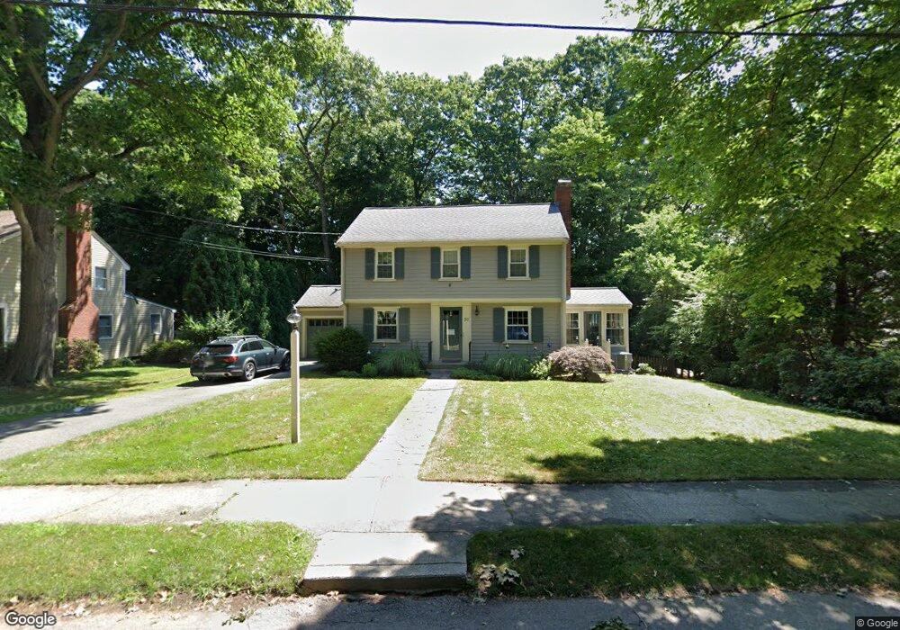
50 Verndale Rd Newton Highlands, MA 02461
Newton Highlands NeighborhoodEstimated Value: $1,381,366 - $1,489,000
3
Beds
3
Baths
1,896
Sq Ft
$754/Sq Ft
Est. Value
About This Home
This home is located at 50 Verndale Rd, Newton Highlands, MA 02461 and is currently estimated at $1,429,092, approximately $753 per square foot. 50 Verndale Rd is a home located in Middlesex County with nearby schools including Countryside Elementary School, Charles E Brown Middle School, and Newton South High School.
Ownership History
Date
Name
Owned For
Owner Type
Purchase Details
Closed on
Aug 30, 1989
Sold by
Segal Robert E
Bought by
Friedman Thomas H
Current Estimated Value
Home Financials for this Owner
Home Financials are based on the most recent Mortgage that was taken out on this home.
Original Mortgage
$170,000
Interest Rate
9.7%
Mortgage Type
Purchase Money Mortgage
Create a Home Valuation Report for This Property
The Home Valuation Report is an in-depth analysis detailing your home's value as well as a comparison with similar homes in the area
Home Values in the Area
Average Home Value in this Area
Purchase History
| Date | Buyer | Sale Price | Title Company |
|---|---|---|---|
| Friedman Thomas H | $280,000 | -- |
Source: Public Records
Mortgage History
| Date | Status | Borrower | Loan Amount |
|---|---|---|---|
| Closed | Friedman Thomas H | $162,000 | |
| Closed | Friedman Thomas H | $170,000 |
Source: Public Records
Tax History Compared to Growth
Tax History
| Year | Tax Paid | Tax Assessment Tax Assessment Total Assessment is a certain percentage of the fair market value that is determined by local assessors to be the total taxable value of land and additions on the property. | Land | Improvement |
|---|---|---|---|---|
| 2025 | $11,700 | $1,193,900 | $944,600 | $249,300 |
| 2024 | $11,313 | $1,159,100 | $917,100 | $242,000 |
| 2023 | $10,718 | $1,052,800 | $703,700 | $349,100 |
| 2022 | $10,255 | $974,800 | $651,600 | $323,200 |
| 2021 | $9,895 | $919,600 | $614,700 | $304,900 |
| 2020 | $9,601 | $919,600 | $614,700 | $304,900 |
| 2019 | $9,330 | $892,800 | $596,800 | $296,000 |
| 2018 | $8,944 | $826,600 | $542,300 | $284,300 |
| 2017 | $8,671 | $779,800 | $511,600 | $268,200 |
| 2016 | $8,294 | $728,800 | $478,100 | $250,700 |
| 2015 | $7,908 | $681,100 | $446,800 | $234,300 |
Source: Public Records
Map
Nearby Homes
- 116 Upland Ave
- 250 Woodcliff Rd
- 1308 Walnut St
- 1292 Walnut St
- 36 Cannon St
- 125 Oakdale Rd
- 1629 Centre St
- 1623-1625 Centre St
- 3 Glenmore Terrace Unit 2
- 51 Carl St
- 15 Buff Cir
- 19 Selwyn Rd
- 1597 Centre St Unit 1597
- 1597 Centre St
- 671 Boylston St
- 1151 Walnut St Unit 205
- 1151 Walnut St Unit 405
- 1151 Walnut St Unit 207
- 128 Charlemont St
- 628 Boylston St
- 44 Verndale Rd
- 60 Verndale Rd
- 39 Andrew St
- 53 Verndale Rd
- 45 Andrew St
- 45 Verndale Rd
- 38 Verndale Rd
- 66 Verndale Rd
- 33 Andrew St
- 61 Verndale Rd
- 39 Verndale Rd
- 53 Andrew St
- 62 Brierfield Rd
- 25 Andrew St
- 68 Brierfield Rd
- 32 Verndale Rd
- 33 Verndale Rd
- 39 Heatherland Rd
- 22 Heatherland Rd
- 18 Heatherland Rd