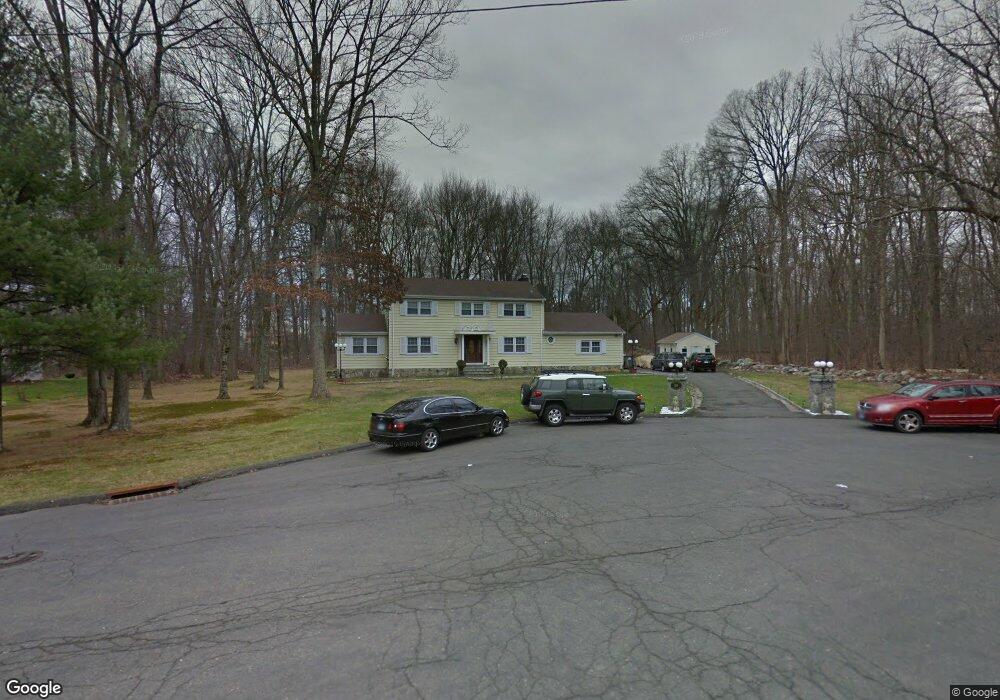
50 Walter Ln Stamford, CT 06902
Westover NeighborhoodEstimated Value: $936,000 - $1,053,691
4
Beds
3
Baths
2,214
Sq Ft
$444/Sq Ft
Est. Value
About This Home
This home is located at 50 Walter Ln, Stamford, CT 06902 and is currently estimated at $981,923, approximately $443 per square foot. 50 Walter Ln is a home located in Fairfield County with nearby schools including Roxbury School, Cloonan School, and Westhill High School.
Ownership History
Date
Name
Owned For
Owner Type
Purchase Details
Closed on
Nov 24, 1999
Sold by
Freedman Ronald L
Bought by
Perez Margarita
Current Estimated Value
Home Financials for this Owner
Home Financials are based on the most recent Mortgage that was taken out on this home.
Original Mortgage
$365,600
Outstanding Balance
$111,785
Interest Rate
7.77%
Estimated Equity
$870,138
Purchase Details
Closed on
Jul 16, 1987
Sold by
Cassone Robert
Bought by
Freedman Ronald
Home Financials for this Owner
Home Financials are based on the most recent Mortgage that was taken out on this home.
Original Mortgage
$190,000
Interest Rate
10.69%
Create a Home Valuation Report for This Property
The Home Valuation Report is an in-depth analysis detailing your home's value as well as a comparison with similar homes in the area
Home Values in the Area
Average Home Value in this Area
Purchase History
| Date | Buyer | Sale Price | Title Company |
|---|---|---|---|
| Perez Margarita | $457,000 | -- | |
| Freedman Ronald | $341,500 | -- |
Source: Public Records
Mortgage History
| Date | Status | Borrower | Loan Amount |
|---|---|---|---|
| Open | Freedman Ronald | $365,600 | |
| Previous Owner | Freedman Ronald | $190,000 |
Source: Public Records
Tax History Compared to Growth
Tax History
| Year | Tax Paid | Tax Assessment Tax Assessment Total Assessment is a certain percentage of the fair market value that is determined by local assessors to be the total taxable value of land and additions on the property. | Land | Improvement |
|---|---|---|---|---|
| 2025 | $13,921 | $588,370 | $301,900 | $286,470 |
| 2024 | $13,615 | $588,370 | $301,900 | $286,470 |
| 2023 | $14,627 | $588,370 | $301,900 | $286,470 |
| 2022 | $12,050 | $450,620 | $228,860 | $221,760 |
| 2021 | $11,919 | $450,620 | $228,860 | $221,760 |
| 2020 | $11,612 | $450,620 | $228,860 | $221,760 |
| 2019 | $11,612 | $450,620 | $228,860 | $221,760 |
| 2018 | $11,184 | $450,620 | $228,860 | $221,760 |
| 2017 | $10,990 | $422,690 | $215,400 | $207,290 |
| 2016 | $10,681 | $422,690 | $215,400 | $207,290 |
| 2015 | $10,402 | $422,690 | $215,400 | $207,290 |
| 2014 | $10,056 | $422,690 | $215,400 | $207,290 |
Source: Public Records
Map
Nearby Homes
- 43 Constance Ln
- 180 Riverbank Rd
- 51 Northwood Ln
- 368 Den Rd
- 33 Mill Brook Rd W
- 100 Old Mill Ln
- 0 June Rd Unit LOT 1 24118127
- 107 June Rd
- 151 June Rd
- 25 Cogswell Ln
- 160 Wire Mill Rd
- 177 Long Close Rd
- 226 Cedar Heights Rd
- 24 Old Orchard Ln
- 181 Crystal Lake Rd
- 10 Carissa Ln
- 4 Elaine Dr
- 411 Stanwich Rd
- 38 Lancaster Place
- 20 Wild Horse Rd