50 Walther Rd Harwich Port, MA 02646
Harwich Port NeighborhoodEstimated Value: $4,151,000 - $5,039,000
7
Beds
5
Baths
3,996
Sq Ft
$1,123/Sq Ft
Est. Value
About This Home
This home is located at 50 Walther Rd, Harwich Port, MA 02646 and is currently estimated at $4,486,760, approximately $1,122 per square foot. 50 Walther Rd is a home located in Barnstable County with nearby schools including Harwich Elementary School, Chatham Elementary School, and Monomoy Regional Middle School.
Create a Home Valuation Report for This Property
The Home Valuation Report is an in-depth analysis detailing your home's value as well as a comparison with similar homes in the area
Home Values in the Area
Average Home Value in this Area
Tax History Compared to Growth
Tax History
| Year | Tax Paid | Tax Assessment Tax Assessment Total Assessment is a certain percentage of the fair market value that is determined by local assessors to be the total taxable value of land and additions on the property. | Land | Improvement |
|---|---|---|---|---|
| 2025 | $31,588 | $5,344,800 | $4,520,900 | $823,900 |
| 2024 | $30,472 | $5,053,400 | $4,264,300 | $789,100 |
| 2023 | $30,257 | $4,556,800 | $3,876,600 | $680,200 |
| 2022 | $31,604 | $3,896,900 | $3,371,000 | $525,900 |
| 2021 | $30,984 | $3,602,800 | $3,064,400 | $538,400 |
| 2020 | $30,844 | $3,533,100 | $3,003,000 | $530,100 |
| 2019 | $29,401 | $3,391,100 | $2,886,200 | $504,900 |
| 2018 | $28,301 | $3,122,300 | $2,623,400 | $498,900 |
| 2017 | $25,939 | $2,891,700 | $2,400,600 | $491,100 |
| 2016 | $26,042 | $2,871,200 | $2,400,600 | $470,600 |
Source: Public Records
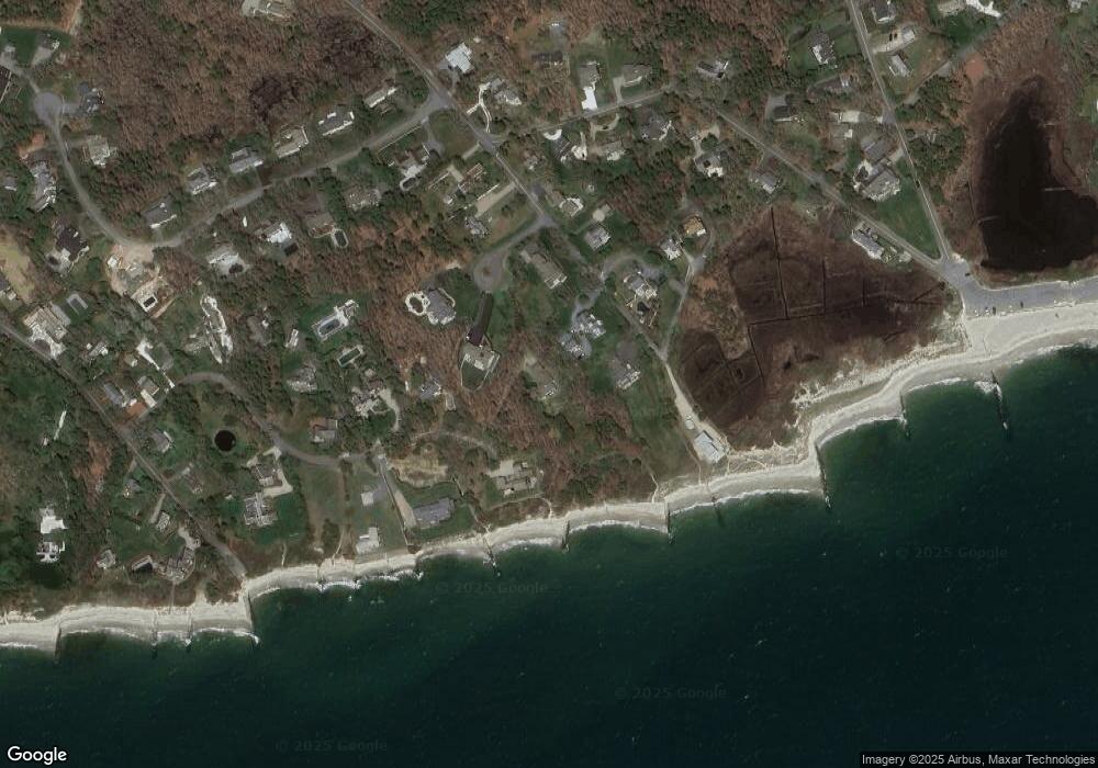
Map
Nearby Homes
- 8 Old Wharf Rd
- 820 Massachusetts 28
- 252 Chatham Rd
- 27 Quaker Ln
- 53 Freeman St
- 27 Fairview Dr
- 41 Woodland Rd
- 1011 Massachusetts 28 Unit C-6
- 1011 Route 28 Unit 6
- 9 Jason Ln
- 42 Marthas Ln
- 6 Marthas Ln
- 72 Forest Beach Rd
- 72 Forest Beach Rd
- 106 Chatham Rd
- Lot 6 Bobbie's Ln
- 79 Forest Beach Rd
- 15 Shannon Rd
- 28 Dale Rd
- 15 Pleasant St Unit W24