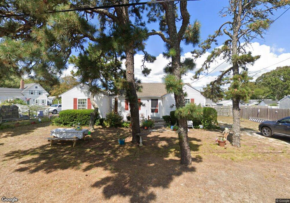
50 West St Dennis Port, MA 02639
Dennis Port NeighborhoodEstimated Value: $538,000 - $646,807
3
Beds
2
Baths
800
Sq Ft
$730/Sq Ft
Est. Value
About This Home
This home is located at 50 West St, Dennis Port, MA 02639 and is currently estimated at $584,202, approximately $730 per square foot. 50 West St is a home located in Barnstable County with nearby schools including Dennis-Yarmouth Regional High School and St. Pius X. School.
Ownership History
Date
Name
Owned For
Owner Type
Purchase Details
Closed on
Apr 18, 2000
Sold by
Kean James M and Kenney Nancy M
Bought by
Dinallo Randy M and Dinallo Lee M
Current Estimated Value
Home Financials for this Owner
Home Financials are based on the most recent Mortgage that was taken out on this home.
Original Mortgage
$94,700
Interest Rate
8.26%
Mortgage Type
Purchase Money Mortgage
Create a Home Valuation Report for This Property
The Home Valuation Report is an in-depth analysis detailing your home's value as well as a comparison with similar homes in the area
Home Values in the Area
Average Home Value in this Area
Purchase History
| Date | Buyer | Sale Price | Title Company |
|---|---|---|---|
| Dinallo Randy M | $111,500 | -- |
Source: Public Records
Mortgage History
| Date | Status | Borrower | Loan Amount |
|---|---|---|---|
| Open | Dinallo Randy M | $93,170 | |
| Closed | Dinallo Randy M | $94,200 | |
| Closed | Dinallo Randy M | $94,700 |
Source: Public Records
Tax History Compared to Growth
Tax History
| Year | Tax Paid | Tax Assessment Tax Assessment Total Assessment is a certain percentage of the fair market value that is determined by local assessors to be the total taxable value of land and additions on the property. | Land | Improvement |
|---|---|---|---|---|
| 2025 | $2,366 | $546,400 | $281,400 | $265,000 |
| 2024 | $2,243 | $511,000 | $270,700 | $240,300 |
| 2023 | $2,169 | $464,500 | $246,000 | $218,500 |
| 2022 | $1,996 | $356,400 | $193,900 | $162,500 |
| 2021 | $1,948 | $323,000 | $190,100 | $132,900 |
| 2020 | $1,895 | $310,600 | $190,100 | $120,500 |
| 2019 | $3,310 | $312,400 | $202,400 | $110,000 |
| 2018 | $1,856 | $292,700 | $192,700 | $100,000 |
| 2017 | $3,010 | $274,300 | $177,500 | $96,800 |
| 2016 | $1,619 | $248,000 | $167,300 | $80,700 |
| 2015 | $1,587 | $248,000 | $167,300 | $80,700 |
| 2014 | $1,511 | $237,900 | $157,200 | $80,700 |
Source: Public Records
Map
Nearby Homes
- 102 Sea St
- 402 Old Wharf Rd
- 402 Old Wharf Rd
- 22 Ferncliff Rd
- 405 Old Wharf Rd Unit B204
- 405 Old Wharf Rd Unit B204
- 11 Ocean Park W
- 9 Chase Ave Unit 6
- 12 Cross St
- 26 Manning Rd
- 37-A Beach Hills Rd
- 37 Beach Hills Rd
- 159 Center St Unit 22
- 262 Old Wharf Rd Unit 67
- 262 Old Wharf Rd Unit 5
- 262 Old Wharf Rd Unit 5
- 262 Old Wharf Rd Unit 20
- 262 Old Wharf Rd Unit 87
- 31 Easy St
- 1 E Belmont Unit 630
- 122 Sea St
- 48 West St
- 49 West St
- 44 West St
- 128 Sea St Unit 6
- 128 Sea St Unit 11
- 128 Sea St Unit 10
- 128 Sea St Unit 9
- 128 Sea St Unit 7
- 128 Sea St Unit 5
- 128 Sea St Unit 4
- 128 Sea St Unit 3
- 128 Sea St Unit 2
- 128 Sea St Unit 1-10
- 128 Sea St
- 128 Sea St Unit 8
- 128 Sea St Unit 1
- 82 Union Wharf Rd
- 130 Sea St
- 125 Sea St