50 Winship Ave Wareham, MA 02571
Estimated Value: $1,127,000 - $3,296,962
6
Beds
2
Baths
2,460
Sq Ft
$962/Sq Ft
Est. Value
About This Home
This home is located at 50 Winship Ave, Wareham, MA 02571 and is currently estimated at $2,365,987, approximately $961 per square foot. 50 Winship Ave is a home located in Plymouth County.
Ownership History
Date
Name
Owned For
Owner Type
Purchase Details
Closed on
May 2, 2025
Sold by
50 Winship Avenue Rt and Edwards
Bought by
Edwards Warehamn Dynsty T and Edwards Foley
Current Estimated Value
Purchase Details
Closed on
May 5, 2015
Sold by
Bump Carroll E and Bump Michele
Bought by
50 Winship Avenue Rt and Edwards
Purchase Details
Closed on
Dec 24, 1997
Sold by
Hagy Marjorie C and Clark George K
Bought by
Bump Carroll E and Bump Michele
Create a Home Valuation Report for This Property
The Home Valuation Report is an in-depth analysis detailing your home's value as well as a comparison with similar homes in the area
Home Values in the Area
Average Home Value in this Area
Purchase History
| Date | Buyer | Sale Price | Title Company |
|---|---|---|---|
| Edwards Warehamn Dynsty T | -- | None Available | |
| Edwards Warehamn Dynsty T | -- | None Available | |
| 50 Winship Avenue Rt | $800,000 | -- | |
| 50 Winship Avenue Rt | $800,000 | -- | |
| Bump Carroll E | $330,000 | -- | |
| Bump Carroll E | $330,000 | -- |
Source: Public Records
Tax History Compared to Growth
Tax History
| Year | Tax Paid | Tax Assessment Tax Assessment Total Assessment is a certain percentage of the fair market value that is determined by local assessors to be the total taxable value of land and additions on the property. | Land | Improvement |
|---|---|---|---|---|
| 2025 | $28,486 | $2,733,800 | $1,214,900 | $1,518,900 |
| 2024 | $24,584 | $2,189,100 | $869,900 | $1,319,200 |
| 2023 | $13,944 | $1,929,900 | $789,900 | $1,140,000 |
| 2022 | $13,944 | $1,058,000 | $755,500 | $302,500 |
| 2021 | $13,722 | $1,020,200 | $755,500 | $264,700 |
| 2020 | $13,195 | $995,100 | $755,500 | $239,600 |
| 2019 | $16,284 | $1,225,300 | $1,002,600 | $222,700 |
| 2018 | $16,310 | $1,196,600 | $1,002,600 | $194,000 |
| 2017 | $16,094 | $1,196,600 | $1,002,600 | $194,000 |
| 2016 | $16,626 | $1,228,800 | $1,052,700 | $176,100 |
| 2015 | $17,064 | $1,305,600 | $1,133,000 | $172,600 |
| 2014 | $13,788 | $1,073,000 | $911,600 | $161,400 |
Source: Public Records
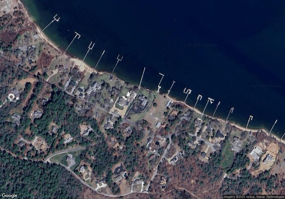
Map
Nearby Homes
- 46 Winship Ave
- 200 Great Neck Rd
- 45 Kins Ct
- 46 Kins Ct
- 38 Amos Way
- 17 Carleton St Unit 17
- 12 Grove St
- 14 Over Jordan Rd
- 6 Beacon St Unit 79
- 8 Over Jordan Rd
- 52 Starboard Dr Unit 36H
- 10 Over Jordan Rd
- 8 Beacon St Unit 80
- 10 Beacon St Unit 83
- 9 10th St
- 35 Locust St
- 35 Locust St
- 26 Highland Ave
- 17 5th St
- 12 Beacon St Unit 84
- 50 Winship Ave Unit 1
- 54 Winship Ave
- 8 Widows Cove Ln
- 42 Winship Ave
- 11 Boat House Dr
- 53 Winship Ave
- 8 Boat House Dr
- 10 Widows Cove Ln
- 38 Winship Ave
- 41 Winship Ave
- 9 Boat House Dr
- 4 Widow's Cove Ln
- 12 Widows Cove Ln
- 4 Widows Cove Ln
- 12 Widow's Cove Ln
- 13 Widows Cove Ln
- 37 Winship Ave
- 36 Winship Ave
- 9 Widows Cove Ln
- 6 Boat House Dr