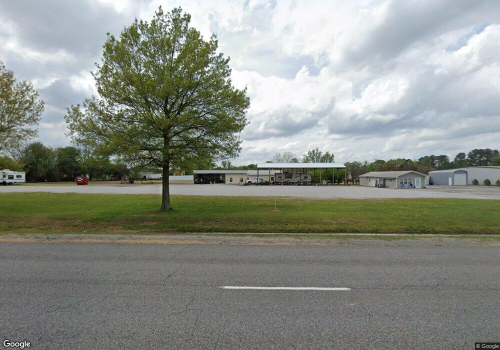
500 64th Ave Northport, AL 35476
Estimated Value: $136,000 - $172,065
--
Bed
--
Bath
648
Sq Ft
$238/Sq Ft
Est. Value
About This Home
This home is located at 500 64th Ave, Northport, AL 35476 and is currently estimated at $154,033, approximately $237 per square foot. 500 64th Ave is a home with nearby schools including Matthews Elementary School, Collins-Riverside Middle School, and Tuscaloosa County High School.
Ownership History
Date
Name
Owned For
Owner Type
Purchase Details
Closed on
Jan 20, 2023
Sold by
Hughes Jennie
Bought by
Ryan Shirley
Current Estimated Value
Purchase Details
Closed on
Jan 10, 2008
Sold by
Pearson Peggy J
Bought by
Bobo Danny E
Home Financials for this Owner
Home Financials are based on the most recent Mortgage that was taken out on this home.
Original Mortgage
$290,445
Interest Rate
5.94%
Mortgage Type
Commercial
Create a Home Valuation Report for This Property
The Home Valuation Report is an in-depth analysis detailing your home's value as well as a comparison with similar homes in the area
Home Values in the Area
Average Home Value in this Area
Purchase History
| Date | Buyer | Sale Price | Title Company |
|---|---|---|---|
| Ryan Shirley | -- | -- | |
| Shirley Ryan | -- | None Listed On Document | |
| Bobo Danny E | $90,000 | -- |
Source: Public Records
Mortgage History
| Date | Status | Borrower | Loan Amount |
|---|---|---|---|
| Previous Owner | Bobo Danny E | $290,445 |
Source: Public Records
Tax History Compared to Growth
Tax History
| Year | Tax Paid | Tax Assessment Tax Assessment Total Assessment is a certain percentage of the fair market value that is determined by local assessors to be the total taxable value of land and additions on the property. | Land | Improvement |
|---|---|---|---|---|
| 2024 | $964 | $23,420 | $2,380 | $21,040 |
| 2023 | $902 | $22,620 | $2,380 | $20,240 |
| 2022 | $444 | $23,040 | $2,380 | $20,660 |
| 2021 | $62 | $23,260 | $2,380 | $20,880 |
| 2020 | $62 | $7,630 | $1,190 | $6,440 |
| 2019 | $62 | $7,630 | $1,190 | $6,440 |
| 2018 | $62 | $1,600 | $1,600 | $0 |
| 2017 | $62 | $0 | $0 | $0 |
| 2016 | $62 | $0 | $0 | $0 |
| 2015 | $62 | $0 | $0 | $0 |
| 2014 | $62 | $1,600 | $1,600 | $0 |
Source: Public Records
Map
Nearby Homes
- 0 Robert Cardinal Airport Rd
- 6112 Clearbrook Dr
- 7338 Tulip Trestle Ct
- 1902 45th Ave
- 4470 19th St
- 3618 Horsebend Ln
- 4517 5th St
- 2214 44th Ave
- 7615 Thompsons Way
- 7621 Findleys St
- 2747 Lily Cir
- 3401 Springfield Ave
- 3806 Springfield Ave
- 7110 Harperwood St
- 4205 Cloverdale Estate
- 4117 Eleanor St
- 3543 14th St
- 3 43rd St
- 3409 22nd St
- 2105 Crestwood Ave
- 520 64th Ave
- 6409 6th St
- 600 64th Ave
- 6408 5th St
- 6410 5th St
- 6424 6th St
- 6800 5th St
- 6804 5th St
- 6750 5th St
- 6806 5th St
- 2011 64th Ave
- 6808 5th St
- 3801 5th St
- 6814 5th St
- 6608 Mcfarland Blvd
- 1400 Commerce Dr
- 1700 Harper Rd
- 6800 Mcfarland Blvd Unit 124
- 6800 Mcfarland Blvd Unit 37
- 0 5th St and Hwy 82