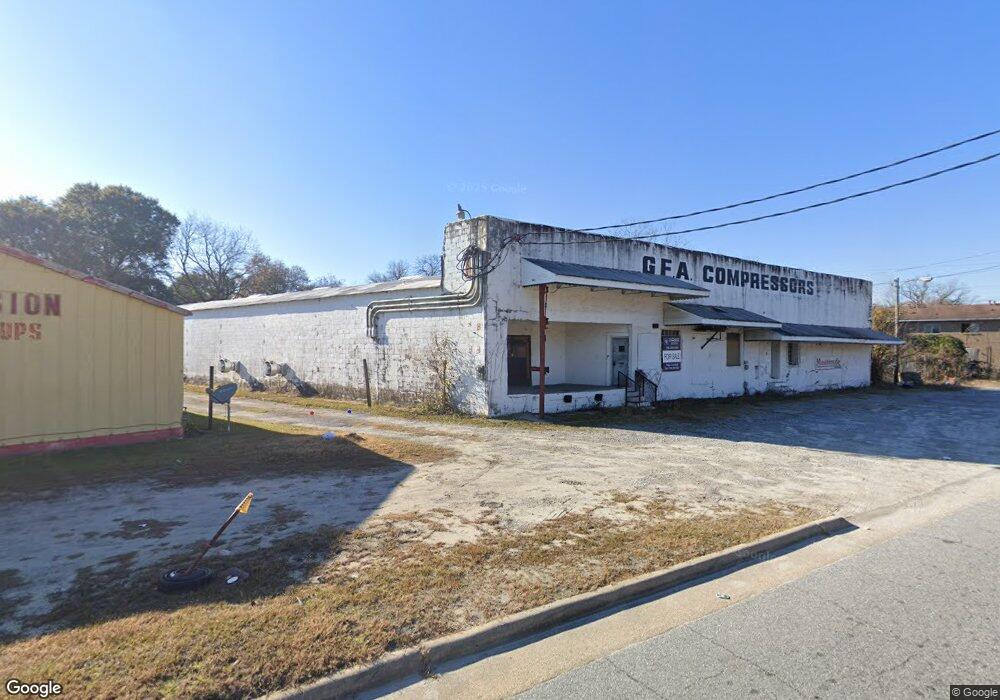
500 Andrews Rd Columbus, GA 31903
South Columbus NeighborhoodEstimated Value: $153,000
Studio
--
Bath
24,900
Sq Ft
$6/Sq Ft
Est. Value
About This Home
This home is located at 500 Andrews Rd, Columbus, GA 31903 and is currently priced at $153,000, approximately $6 per square foot. 500 Andrews Rd is a home located in Muscogee County with nearby schools including Martin Luther King Jr. Elementary School, Baker Middle School, and Carver High School.
Ownership History
Date
Name
Owned For
Owner Type
Purchase Details
Closed on
May 4, 2022
Sold by
Grabudd Llc
Bought by
Ssh Mining Llc
Current Estimated Value
Home Financials for this Owner
Home Financials are based on the most recent Mortgage that was taken out on this home.
Original Mortgage
$110,000
Outstanding Balance
$37,492
Interest Rate
4.42%
Mortgage Type
Seller Take Back
Purchase Details
Closed on
May 19, 2015
Sold by
Rudder Daniel B
Bought by
Grabudd Llc
Create a Home Valuation Report for This Property
The Home Valuation Report is an in-depth analysis detailing your home's value as well as a comparison with similar homes in the area
Home Values in the Area
Average Home Value in this Area
Purchase History
| Date | Buyer | Sale Price | Title Company |
|---|---|---|---|
| Ssh Mining Llc | -- | None Listed On Document | |
| Ssh Mining Llc | $130,000 | None Listed On Document | |
| Grabudd Llc | -- | -- |
Source: Public Records
Mortgage History
| Date | Status | Borrower | Loan Amount |
|---|---|---|---|
| Open | Ssh Mining Llc | $110,000 | |
| Closed | Ssh Mining Llc | $110,000 |
Source: Public Records
Tax History
| Year | Tax Paid | Tax Assessment Tax Assessment Total Assessment is a certain percentage of the fair market value that is determined by local assessors to be the total taxable value of land and additions on the property. | Land | Improvement |
|---|---|---|---|---|
| 2025 | $370 | $2,676 | $2,676 | $0 |
| 2024 | $231 | $2,676 | $2,676 | $0 |
| 2023 | $105 | $2,676 | $2,676 | $0 |
| 2022 | $109 | $2,676 | $2,676 | $0 |
| 2021 | $109 | $2,676 | $2,676 | $0 |
| 2020 | $109 | $2,676 | $2,676 | $0 |
| 2019 | $110 | $2,676 | $2,676 | $0 |
| 2018 | $110 | $2,676 | $2,676 | $0 |
| 2017 | $110 | $2,676 | $2,676 | $0 |
| 2016 | $80 | $1,941 | $1,941 | $0 |
| 2015 | $32 | $1,941 | $1,941 | $0 |
| 2014 | $32 | $1,941 | $1,941 | $0 |
| 2013 | -- | $1,941 | $1,941 | $0 |
Source: Public Records
Map
Nearby Homes
- 0 Mellon St
- 454 Mellon St
- 485 Mellon St
- 400 29th Ave Unit 50
- 2517 Garden Dr
- 2716 Garden Dr
- 362 29th Ave
- 345 29th Ave
- 2516 Dawson St
- 2534 Cole Dr
- 3016 Dawson St
- 345 Bragg Smith St
- 3400 Saint Marys Rd Unit 450
- 2913 Lee St
- 2317 N Andrews Cir
- 2505 Heard St
- 702 Lawyers Ln
- 338 31st Ave
- 316 Bragg Smith St
- 2916 Lee St
- 455 Mellon St
- 457 Mellon St
- 461 Mellon St
- 467 Mellon St Unit B
- 467 Mellon St
- 475 Mellon St
- 2524 E Central St
- 458 Mellon St
- 477 Mellon St Unit E
- 460 Mellon St
- 441 Bernard Dr
- 432 Bernard Dr
- 462 Mellon St
- 479 Mellon St
- 427 Mellon St
- 466 Mellon St
- 474 Mellon St
- 438 Mellon St
- 485 Mellon St Unit B
- E E Central St
Your Personal Tour Guide
Ask me questions while you tour the home.