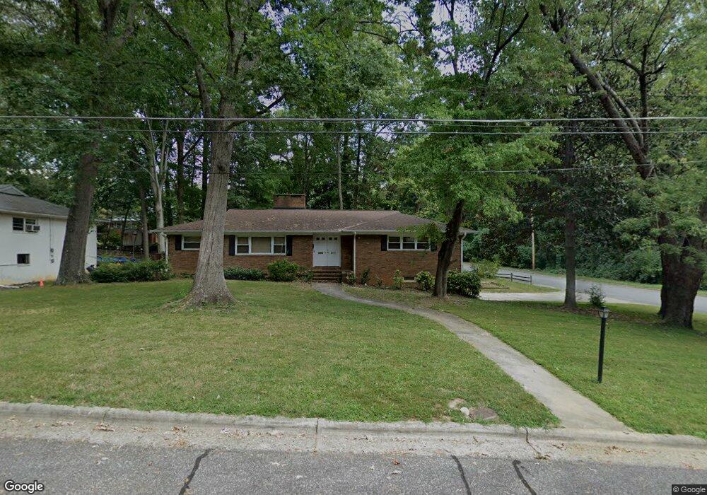
500 Ashe St High Point, NC 27262
Greater High Point NeighborhoodEstimated Value: $300,000 - $410,000
4
Beds
3
Baths
2,315
Sq Ft
$151/Sq Ft
Est. Value
About This Home
This home is located at 500 Ashe St, High Point, NC 27262 and is currently estimated at $350,201, approximately $151 per square foot. 500 Ashe St is a home located in Guilford County with nearby schools including Northwood Elementary School, Ferndale Middle School, and High Point Central High School.
Ownership History
Date
Name
Owned For
Owner Type
Purchase Details
Closed on
May 17, 2004
Sold by
Mabon Lewis Alan
Bought by
Robbins Floyd and Robbins Elaine
Current Estimated Value
Home Financials for this Owner
Home Financials are based on the most recent Mortgage that was taken out on this home.
Original Mortgage
$139,500
Outstanding Balance
$57,288
Interest Rate
3.75%
Mortgage Type
Purchase Money Mortgage
Estimated Equity
$292,913
Create a Home Valuation Report for This Property
The Home Valuation Report is an in-depth analysis detailing your home's value as well as a comparison with similar homes in the area
Home Values in the Area
Average Home Value in this Area
Purchase History
| Date | Buyer | Sale Price | Title Company |
|---|---|---|---|
| Robbins Floyd | $155,000 | -- |
Source: Public Records
Mortgage History
| Date | Status | Borrower | Loan Amount |
|---|---|---|---|
| Open | Robbins Floyd | $139,500 |
Source: Public Records
Tax History Compared to Growth
Tax History
| Year | Tax Paid | Tax Assessment Tax Assessment Total Assessment is a certain percentage of the fair market value that is determined by local assessors to be the total taxable value of land and additions on the property. | Land | Improvement |
|---|---|---|---|---|
| 2025 | $2,735 | $198,500 | $40,800 | $157,700 |
| 2024 | $2,735 | $198,500 | $40,800 | $157,700 |
| 2023 | $2,735 | $198,500 | $40,800 | $157,700 |
| 2022 | $2,676 | $198,500 | $40,800 | $157,700 |
| 2021 | $2,184 | $158,500 | $30,000 | $128,500 |
| 2020 | $2,184 | $158,500 | $30,000 | $128,500 |
| 2019 | $2,184 | $158,500 | $0 | $0 |
| 2018 | $2,173 | $158,500 | $0 | $0 |
| 2017 | $2,173 | $158,500 | $0 | $0 |
| 2016 | $2,070 | $147,600 | $0 | $0 |
| 2015 | $2,081 | $147,600 | $0 | $0 |
| 2014 | $2,117 | $147,600 | $0 | $0 |
Source: Public Records
Map
Nearby Homes
- 603 Florham Dr
- 707 Kennedy Ave
- 1116 Raleigh Ct
- 931 Nottingham Rd
- 1011 Ferndale Blvd
- 509 Chestnut Dr
- 1408 1410 Westchester Dr
- 810 Ferndale Blvd
- 1010 Adams St
- 702 Gatewood Ave
- 1116 Ferndale Blvd
- 1007 N Rotary Dr
- 1304 Wickliff Ave
- 925 Croyden St
- 633 Huntington Dr
- 515 Ridgecrest Dr
- 1122 Kensington Dr
- 1042 Rockford Rd
- 703 Langford Ave
- 2844 Saint Giles Ct