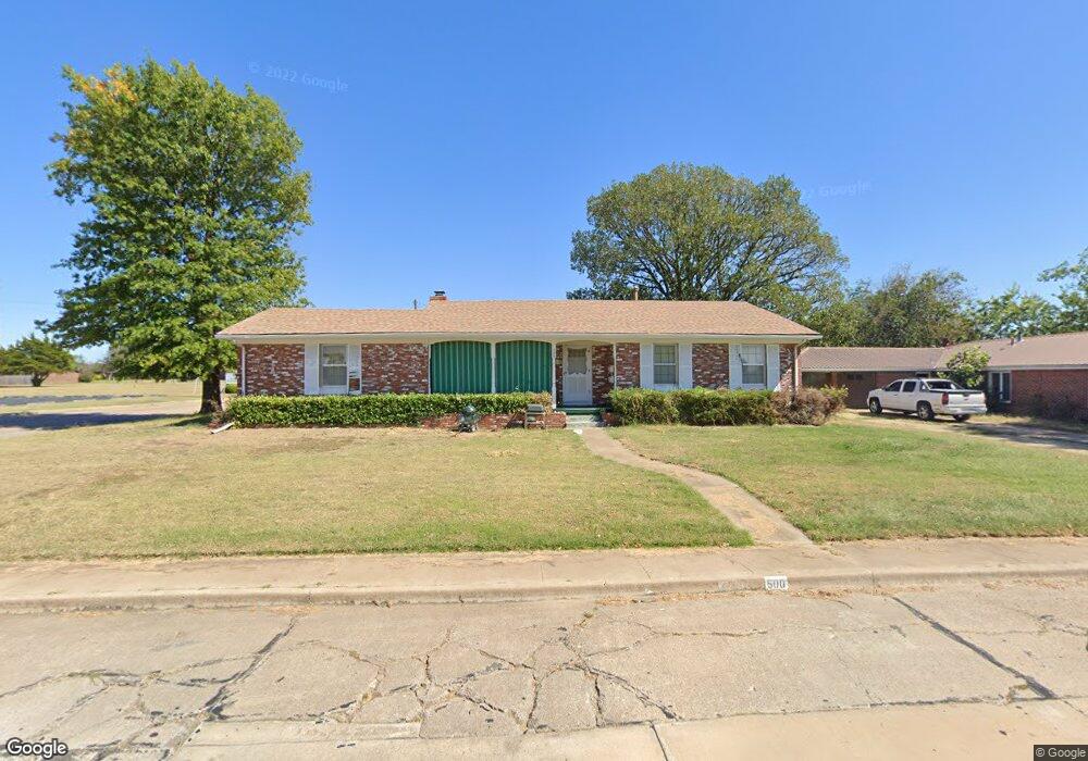
500 Cornell Dr Bartlesville, OK 74006
Estimated Value: $134,328 - $206,000
Studio
1
Bath
1,397
Sq Ft
$114/Sq Ft
Est. Value
About This Home
This home is located at 500 Cornell Dr, Bartlesville, OK 74006 and is currently estimated at $159,332, approximately $114 per square foot. 500 Cornell Dr is a home located in Washington County with nearby schools including Hoover Elementary School, Madison Middle School, and Bartlesville High School.
Ownership History
Date
Name
Owned For
Owner Type
Purchase Details
Closed on
May 12, 2009
Sold by
Miller Gerald R
Bought by
Livingston Anthony Michael
Current Estimated Value
Purchase Details
Closed on
Jun 2, 2008
Sold by
Livingston Anthony Michael and Jack D Livingston Sr Family Tr
Bought by
Livingston Anthony Michael
Purchase Details
Closed on
Jan 11, 2008
Sold by
Livingston Jack D
Bought by
Livinston Jack D and Jack D Livingston Sr Family Trust
Create a Home Valuation Report for This Property
The Home Valuation Report is an in-depth analysis detailing your home's value as well as a comparison with similar homes in the area
Home Values in the Area
Average Home Value in this Area
Purchase History
| Date | Buyer | Sale Price | Title Company |
|---|---|---|---|
| Livingston Anthony Michael | -- | -- | |
| Livingston Anthony Michael | -- | None Available | |
| Livinston Jack D | -- | None Available |
Source: Public Records
Tax History
| Year | Tax Paid | Tax Assessment Tax Assessment Total Assessment is a certain percentage of the fair market value that is determined by local assessors to be the total taxable value of land and additions on the property. | Land | Improvement |
|---|---|---|---|---|
| 2025 | $1,384 | $12,533 | $1,392 | $11,141 |
| 2024 | $1,385 | $12,532 | $1,318 | $11,214 |
| 2023 | $1,385 | $12,532 | $1,543 | $10,989 |
| 2022 | $1,381 | $12,532 | $1,543 | $10,989 |
| 2021 | $1,354 | $12,532 | $1,543 | $10,989 |
| 2020 | $1,385 | $12,532 | $1,543 | $10,989 |
| 2019 | $1,385 | $12,532 | $1,571 | $10,961 |
| 2018 | $1,378 | $12,532 | $1,554 | $10,978 |
| 2017 | $1,488 | $12,168 | $1,505 | $10,663 |
| 2016 | $1,330 | $11,588 | $1,427 | $10,161 |
| 2015 | $1,287 | $11,036 | $1,352 | $9,684 |
| 2014 | $1,282 | $11,036 | $1,352 | $9,684 |
Source: Public Records
Map
Nearby Homes
- 6413 Belmont Rd
- 400 Trail Ct
- 508 Clark Rd
- 300 Ridgecrest Ct
- 872 Concord Dr
- 6720 Dorsett Dr
- 6736 Dorsett Dr
- 438 Chisholm Cir
- 919 Terri Dr
- 1030 East Dr
- 6008 Martin Place
- 5712 Hazel Rd
- 0 Bison Rd Unit 23455422
- 0 Bison Rd Unit 2518039
- 5822 Brandon Ct
- 5822 Coldspring Ln
- 5916 Coldspring Ln
- 5908 Coldspring Ln
- 5817 Woodland Rd
- 174 Parkhill Place
- 6135 Cornell Dr
- 6121 Baylor Dr
- 501 Sooner Park Dr
- 6129 Cornell Dr
- 6114 Cornell Dr
- 6115 Baylor Dr
- 6129 SE Cornell
- 509 Sooner Park Dr
- 6108 Cornell Dr
- 517 Sooner Park Dr
- 6109 Baylor Dr
- 6123 Cornell Dr
- 6100 Cornell Dr
- 525 Sooner Park Dr
- 6117 Cornell Dr
- 6117 SE Cornell
- 6117 SE Cornell
- 6101 Baylor Dr
- 6301 Baylor Dr
- 6200 Baylor Dr
Your Personal Tour Guide
Ask me questions while you tour the home.