Estimated Value: $419,000 - $584,813
--
Bed
4
Baths
2,908
Sq Ft
$181/Sq Ft
Est. Value
About This Home
This home is located at 500 County Road 133a, Alvin, TX 77511 and is currently estimated at $525,703, approximately $180 per square foot. 500 County Road 133a is a home located in Brazoria County with nearby schools including Mark Twain Elementary School, G.W. Harby Junior High School, and Alvin High School.
Ownership History
Date
Name
Owned For
Owner Type
Purchase Details
Closed on
Nov 4, 2019
Sold by
Jones Donald M and Jones Paula Jo
Bought by
Blackwell Brian T and Blackwell Justine E
Current Estimated Value
Home Financials for this Owner
Home Financials are based on the most recent Mortgage that was taken out on this home.
Original Mortgage
$210,000
Interest Rate
3.6%
Mortgage Type
New Conventional
Purchase Details
Closed on
Oct 10, 2019
Sold by
Jones Donald M and Jones Paula Jo
Bought by
Salinas Luke
Home Financials for this Owner
Home Financials are based on the most recent Mortgage that was taken out on this home.
Original Mortgage
$210,000
Interest Rate
3.6%
Mortgage Type
New Conventional
Purchase Details
Closed on
Sep 1, 2004
Sold by
Surface Elois
Bought by
Jones Donald M and Jones Paula Jo
Home Financials for this Owner
Home Financials are based on the most recent Mortgage that was taken out on this home.
Original Mortgage
$180,000
Interest Rate
5.95%
Mortgage Type
Construction
Create a Home Valuation Report for This Property
The Home Valuation Report is an in-depth analysis detailing your home's value as well as a comparison with similar homes in the area
Home Values in the Area
Average Home Value in this Area
Purchase History
| Date | Buyer | Sale Price | Title Company |
|---|---|---|---|
| Blackwell Brian T | -- | Alamo Title Company | |
| Salinas Luke | -- | None Available | |
| Jones Donald M | -- | First American Title |
Source: Public Records
Mortgage History
| Date | Status | Borrower | Loan Amount |
|---|---|---|---|
| Previous Owner | Blackwell Brian T | $210,000 | |
| Previous Owner | Jones Donald M | $180,000 |
Source: Public Records
Tax History Compared to Growth
Tax History
| Year | Tax Paid | Tax Assessment Tax Assessment Total Assessment is a certain percentage of the fair market value that is determined by local assessors to be the total taxable value of land and additions on the property. | Land | Improvement |
|---|---|---|---|---|
| 2025 | $3,802 | $476,326 | $170,800 | $455,060 |
| 2023 | $3,802 | $393,658 | $170,800 | $447,650 |
| 2022 | $7,582 | $357,871 | $149,450 | $320,680 |
| 2021 | $8,679 | $391,090 | $136,470 | $254,620 |
| 2020 | $8,108 | $367,200 | $125,970 | $241,230 |
| 2019 | $5,081 | $219,850 | $10,090 | $209,760 |
| 2018 | $5,790 | $249,910 | $11,690 | $238,220 |
| 2017 | $5,945 | $253,520 | $11,290 | $242,230 |
| 2016 | $5,668 | $241,670 | $9,920 | $231,750 |
| 2015 | $4,837 | $245,920 | $8,340 | $237,580 |
| 2014 | $4,837 | $225,400 | $8,400 | $217,000 |
Source: Public Records
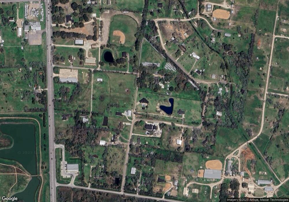
Map
Nearby Homes
- 5690 Highway 35 Bypass
- 20006 Sanchez Rd
- 417 De Coster Blvd
- 103 Cline Dr
- 394 De Coster Blvd
- 19701 Highway 35
- 5330 Latigo Ct
- 5323 Latigo Ct
- 5321 Latigo Ct
- The Princeton II Plan at Kendall Lakes
- The Crawford Plan at Kendall Lakes
- The Davenport II Plan at Kendall Lakes
- The Georgetown II Plan at Kendall Lakes
- The Pearson Plan at Kendall Lakes
- The James Plan at Kendall Lakes
- The McGinnis Plan at Kendall Lakes
- Madison Plan at Kendall Lakes
- Avery Plan at Kendall Lakes
- Elias Plan at Skyview
- Christina Plan at Kendall Lakes
- 22019 Britt Oaks Dr
- 22020 Britt Oaks Dr
- 22024 Britt Oaks Dr
- 22031 Britt Oaks Dr
- 22045 Britt Oaks Dr
- 22028 Britt Oaks Dr
- 530 County Road 133a
- 600 County Road 133a
- 506 County Road 133a
- 20095 Britt Oaks Dr
- 20080 Britt Oaks Dr
- 20083 Britt Oaks Dr
- 21005 Britt Oaks Dr
- 21019 Highway 35
- 21033 Britt Oaks Dr
- 63 Moore Rd
- 21041 Highway 35
- 221 County Road 133
- 21003 Britt Oaks Dr
- 21055 Highway 35