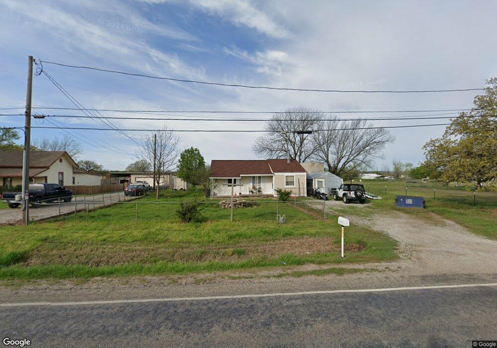
500 Fannin St Millsap, TX 76066
Estimated Value: $147,247 - $286,000
2
Beds
1
Bath
901
Sq Ft
$232/Sq Ft
Est. Value
About This Home
This home is located at 500 Fannin St, Millsap, TX 76066 and is currently estimated at $209,062, approximately $232 per square foot. 500 Fannin St is a home located in Parker County with nearby schools including Millsap Elementary School, Millsap Middle School, and Millsap High School.
Ownership History
Date
Name
Owned For
Owner Type
Purchase Details
Closed on
Jun 30, 2006
Sold by
Hobbs Timothy and Hobbs Renee
Bought by
Ludwig Jeanette and Ludwig Lonny R
Current Estimated Value
Home Financials for this Owner
Home Financials are based on the most recent Mortgage that was taken out on this home.
Original Mortgage
$44,993
Outstanding Balance
$26,741
Interest Rate
6.67%
Mortgage Type
FHA
Estimated Equity
$182,321
Purchase Details
Closed on
Jan 4, 2000
Sold by
Marshall Randall D
Bought by
Ludwig Jeanette and Ludwig Lonny R
Purchase Details
Closed on
Aug 19, 1988
Bought by
Ludwig Jeanette and Ludwig Lonny R
Create a Home Valuation Report for This Property
The Home Valuation Report is an in-depth analysis detailing your home's value as well as a comparison with similar homes in the area
Home Values in the Area
Average Home Value in this Area
Purchase History
| Date | Buyer | Sale Price | Title Company |
|---|---|---|---|
| Ludwig Jeanette | -- | Fatco | |
| Ludwig Jeanette | -- | -- | |
| Ludwig Jeanette | -- | -- |
Source: Public Records
Mortgage History
| Date | Status | Borrower | Loan Amount |
|---|---|---|---|
| Open | Ludwig Jeanette | $44,993 |
Source: Public Records
Tax History Compared to Growth
Tax History
| Year | Tax Paid | Tax Assessment Tax Assessment Total Assessment is a certain percentage of the fair market value that is determined by local assessors to be the total taxable value of land and additions on the property. | Land | Improvement |
|---|---|---|---|---|
| 2025 | $1,475 | $113,620 | $10,000 | $103,620 |
| 2024 | $1,475 | $79,980 | $10,000 | $69,980 |
| 2023 | $1,475 | $79,980 | $10,000 | $69,980 |
| 2022 | $1,809 | $83,100 | $10,000 | $73,100 |
| 2021 | $1,898 | $83,100 | $10,000 | $73,100 |
| 2020 | $1,778 | $73,110 | $10,000 | $63,110 |
| 2019 | $1,771 | $73,110 | $10,000 | $63,110 |
| 2018 | $1,626 | $62,230 | $10,000 | $52,230 |
| 2017 | $1,633 | $62,230 | $10,000 | $52,230 |
| 2016 | $1,485 | $55,080 | $10,000 | $45,080 |
| 2015 | $1,050 | $55,080 | $10,000 | $45,080 |
| 2014 | $1,095 | $50,080 | $10,000 | $40,080 |
Source: Public Records
Map
Nearby Homes
- 106 S Houston St
- 207 NE Front St
- 211 N Cherry St
- 1950 Consolation Dr
- 811 NE Front St
- 3499 S Fm 113
- 9999 Trails End Cir
- Farm To Market 113
- 250 Young Rd
- 417 Wood River Rd
- 1923 Wilson Bend Rd
- 2500 Cool Jct Unit Tract 2
- 000a Wilson Bend Rd
- 000b Wilson Bend Rd
- 320 Wilson Bend Rd
- 1005 Resolute Rd
- 2005 Tillman Blvd
- 2101 Cool Jct
- 555 Sunset Trail
- 600 Wilson Bend Rd