500 John Howard Rd Shiloh, GA 31826
Estimated Value: $247,967 - $576,000
3
Beds
3
Baths
2,044
Sq Ft
$174/Sq Ft
Est. Value
About This Home
This home is located at 500 John Howard Rd, Shiloh, GA 31826 and is currently estimated at $356,492, approximately $174 per square foot. 500 John Howard Rd is a home located in Talbot County with nearby schools including Central School.
Ownership History
Date
Name
Owned For
Owner Type
Purchase Details
Closed on
Oct 30, 2015
Sold by
Mcdonald Calvin Lee
Bought by
Saylor Steven and Saylor Stacie
Current Estimated Value
Home Financials for this Owner
Home Financials are based on the most recent Mortgage that was taken out on this home.
Original Mortgage
$117,826
Outstanding Balance
$92,550
Interest Rate
3.75%
Mortgage Type
FHA
Estimated Equity
$263,942
Purchase Details
Closed on
Sep 24, 2003
Sold by
Mcdonald Calvin L
Bought by
Mcdonald Calvin Lee and Mcdonald Judy
Purchase Details
Closed on
Jun 9, 1999
Sold by
Mcdonald Linda
Bought by
Mcdonald Calvin L
Purchase Details
Closed on
Jan 1, 1987
Bought by
Mcdonald
Purchase Details
Closed on
Jan 1, 1977
Bought by
Previous
Create a Home Valuation Report for This Property
The Home Valuation Report is an in-depth analysis detailing your home's value as well as a comparison with similar homes in the area
Home Values in the Area
Average Home Value in this Area
Purchase History
| Date | Buyer | Sale Price | Title Company |
|---|---|---|---|
| Saylor Steven | $120,000 | -- | |
| Mcdonald Calvin Lee | -- | -- | |
| Mcdonald Calvin L | -- | -- | |
| Mcdonald | -- | -- | |
| Previous | $1,800 | -- |
Source: Public Records
Mortgage History
| Date | Status | Borrower | Loan Amount |
|---|---|---|---|
| Open | Saylor Steven | $117,826 |
Source: Public Records
Tax History Compared to Growth
Tax History
| Year | Tax Paid | Tax Assessment Tax Assessment Total Assessment is a certain percentage of the fair market value that is determined by local assessors to be the total taxable value of land and additions on the property. | Land | Improvement |
|---|---|---|---|---|
| 2024 | $2,018 | $61,047 | $2,067 | $58,980 |
| 2023 | $1,745 | $52,804 | $2,007 | $50,797 |
| 2022 | $1,683 | $54,639 | $2,007 | $52,632 |
| 2021 | $1,668 | $53,965 | $1,912 | $52,053 |
| 2020 | $1,467 | $46,334 | $1,912 | $44,422 |
| 2019 | $1,475 | $46,590 | $1,912 | $44,678 |
| 2018 | $1,403 | $46,590 | $1,912 | $44,678 |
| 2017 | $1,472 | $46,590 | $1,912 | $44,678 |
| 2016 | $1,345 | $42,187 | $1,912 | $40,275 |
| 2015 | -- | $43,846 | $3,571 | $40,275 |
| 2014 | -- | $44,767 | $3,111 | $41,656 |
| 2013 | -- | $42,984 | $4,194 | $38,790 |
Source: Public Records
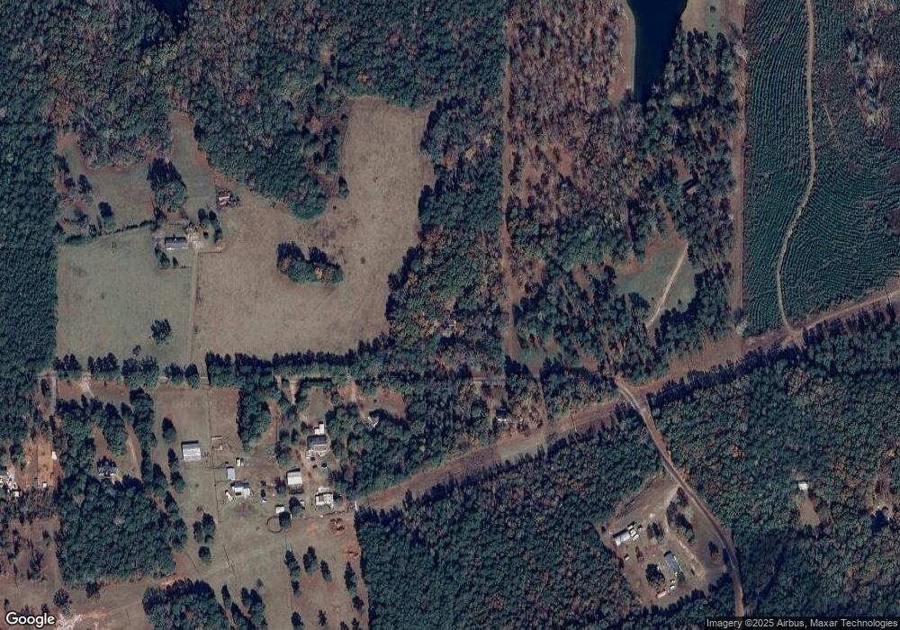
Map
Nearby Homes
- BLK 79 LOT 07 Pansy Loop
- 0 Aster Ct Block 2 Unit 10540208
- 00Lot3 & Lot 4 Mountain Ridge Dr
- 6 Juniper Way
- LOT 19 Mountain Ridge Dr
- LOT 1 & LOT 15 Mountain Ridge Dr
- LOT 18 Candy Tuft Ln
- 2819 Chestnut Grove Rd
- Lots 8 & 9 S Mountain Dr
- Lot 16 Honeysuckle Cir
- 531 S Mountain Dr
- BLK 29 LOT 31 Heather Cir
- 0 Heather Cir Unit 216114
- 0 S Porter Rd Unit 10545447
- 0 S Porter Rd Unit 7609203
- BLOCK 21 LOT 01 Juniper Trail
- BLK 27 LOT 22 Honeysuckle Cir
- 2450 Chestnut Grove Rd Unit 2
- 2450 Chestnut Grove Rd
- BLK 14 LOT 05 Quince Ct
- 515 John Howard Rd
- 439 John Howard Rd
- 600 John Howard Rd
- 375 John Howard Rd
- 300 John Howard Rd
- 239 John Howard Rd
- 265 Turkey Roost Ln
- 867 John Howard Rd
- 341 Turkey Roost Ln
- 871 John Howard Rd
- 854 John Howard Rd
- 209 John Howard Rd
- 18 John Howard Rd
- 264 Turkey Roost Ln
- 1021 John Howard Rd
- 99 Turkey Roost Ln
- 150 Turkey Roost Ln
- 415 Chapman Rd
- 25 Turkey Roost Ln
- 126 Turkey Roost Ln