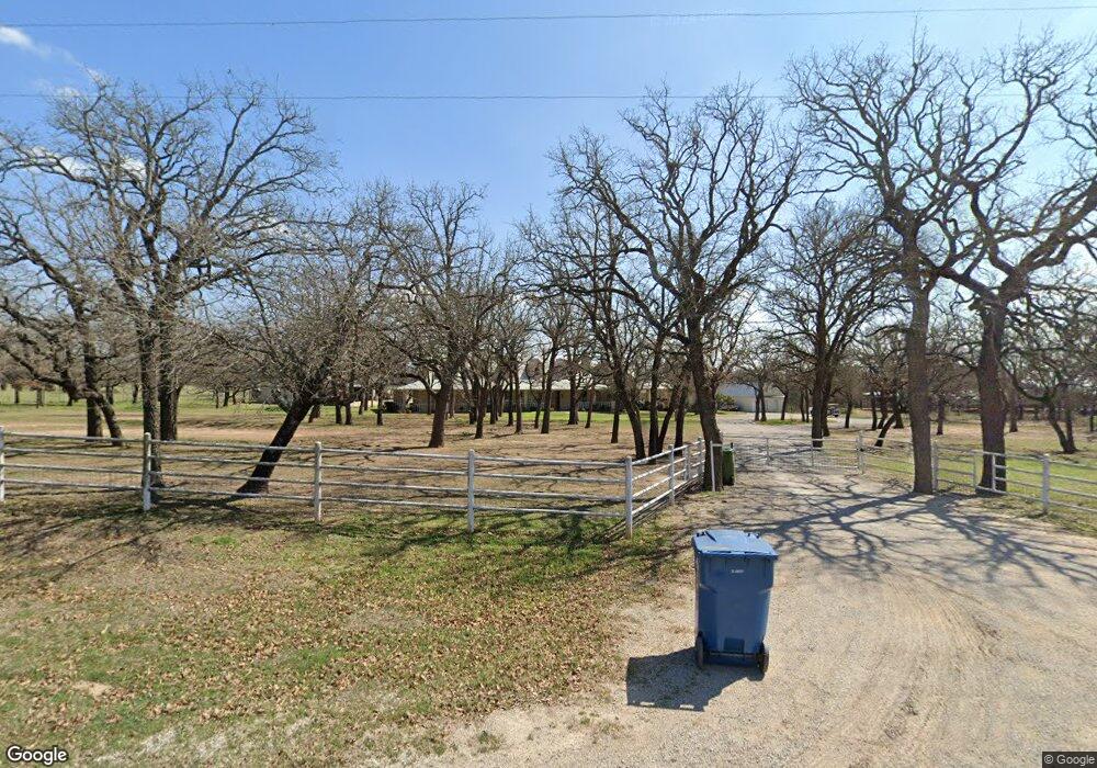
500 Looney Ln Weatherford, TX 76087
Estimated Value: $780,967 - $1,027,000
--
Bed
--
Bath
3,243
Sq Ft
$268/Sq Ft
Est. Value
About This Home
This home is located at 500 Looney Ln, Weatherford, TX 76087 and is currently estimated at $868,492, approximately $267 per square foot. 500 Looney Ln is a home located in Parker County with nearby schools including Curtis Elementary School, Hall Middle School, and Weatherford High School.
Ownership History
Date
Name
Owned For
Owner Type
Purchase Details
Closed on
May 14, 2007
Sold by
Stephens Stacey Ann
Bought by
Rankin Rankin L and Rankin Elicia
Current Estimated Value
Purchase Details
Closed on
Mar 14, 2007
Sold by
Stephens Sha and Stephens Stacey
Bought by
Rankin Rankin L and Rankin Elicia
Purchase Details
Closed on
Jan 1, 1901
Bought by
Rankin Rankin L and Rankin Elicia
Create a Home Valuation Report for This Property
The Home Valuation Report is an in-depth analysis detailing your home's value as well as a comparison with similar homes in the area
Home Values in the Area
Average Home Value in this Area
Purchase History
| Date | Buyer | Sale Price | Title Company |
|---|---|---|---|
| Rankin Rankin L | -- | -- | |
| Rankin Rankin L | -- | -- | |
| Rankin Rankin L | -- | -- |
Source: Public Records
Tax History Compared to Growth
Tax History
| Year | Tax Paid | Tax Assessment Tax Assessment Total Assessment is a certain percentage of the fair market value that is determined by local assessors to be the total taxable value of land and additions on the property. | Land | Improvement |
|---|---|---|---|---|
| 2025 | $9,491 | $859,716 | -- | -- |
| 2024 | $9,491 | $781,560 | $35,310 | $746,250 |
| 2023 | $9,491 | $738,892 | $0 | $0 |
| 2022 | $12,492 | $671,720 | $22,610 | $649,110 |
| 2021 | $13,526 | $671,720 | $22,610 | $649,110 |
| 2020 | $12,661 | $625,730 | $23,220 | $602,510 |
| 2019 | $13,493 | $625,730 | $23,220 | $602,510 |
| 2018 | $12,955 | $595,590 | $20,650 | $574,940 |
| 2017 | $13,220 | $595,590 | $20,650 | $574,940 |
| 2016 | $15,897 | $716,210 | $37,570 | $678,640 |
| 2015 | $14,023 | $716,210 | $37,570 | $678,640 |
| 2014 | $12,743 | $609,990 | $37,570 | $572,420 |
Source: Public Records
Map
Nearby Homes
- XXX Tin Top Rd
- 1001 Bluebonnet Ridge
- 145 Tobiano Trace
- 133 Tobiano Trace
- 1020 Bluebonnet Ridge
- 1019 Bluebonnet Ridge
- 3952 Tin Top Rd
- 650 Spring Creek Pkwy
- 2001 Pinetree Post
- 800 Purselly Ct
- 425 Fm 1708
- 1021 Annabelles Ave
- TBD Tbd
- 2013 Star Brooke Ln
- tbd Pinnacle Peak Ln
- 1009 Annabelles Ave
- 1049 Annabelles Ave
- 1053 Annabelles Ave
- 1064 Annabelles Ave
- 1048 Annabelles Ave