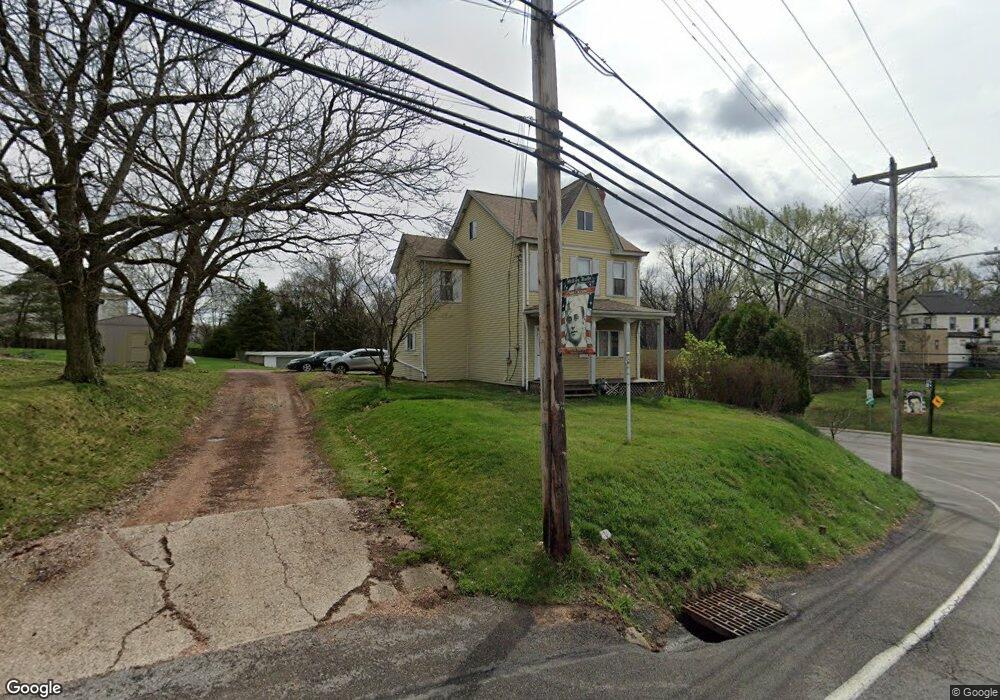
500 Mccoy Rd Mc Kees Rocks, PA 15136
Stowe Township NeighborhoodEstimated Value: $124,825 - $159,000
3
Beds
1
Bath
1,582
Sq Ft
$91/Sq Ft
Est. Value
About This Home
This home is located at 500 Mccoy Rd, Mc Kees Rocks, PA 15136 and is currently estimated at $143,206, approximately $90 per square foot. 500 Mccoy Rd is a home located in Allegheny County with nearby schools including Sto-Rox Upper Elementary School, Sto-Rox Primary Center, and Sto-Rox Junior/Senior High School.
Ownership History
Date
Name
Owned For
Owner Type
Purchase Details
Closed on
Nov 29, 1977
Bought by
Sulzer Frank J and Sulzer Mildred L
Current Estimated Value
Create a Home Valuation Report for This Property
The Home Valuation Report is an in-depth analysis detailing your home's value as well as a comparison with similar homes in the area
Home Values in the Area
Average Home Value in this Area
Purchase History
| Date | Buyer | Sale Price | Title Company |
|---|---|---|---|
| Sulzer Frank J | -- | -- |
Source: Public Records
Tax History Compared to Growth
Tax History
| Year | Tax Paid | Tax Assessment Tax Assessment Total Assessment is a certain percentage of the fair market value that is determined by local assessors to be the total taxable value of land and additions on the property. | Land | Improvement |
|---|---|---|---|---|
| 2025 | $1,443 | $33,400 | $20,000 | $13,400 |
| 2024 | $1,387 | $33,400 | $20,000 | $13,400 |
| 2023 | $1,387 | $33,400 | $20,000 | $13,400 |
| 2022 | $1,343 | $33,400 | $20,000 | $13,400 |
| 2021 | $111 | $33,400 | $20,000 | $13,400 |
| 2020 | $1,313 | $33,400 | $20,000 | $13,400 |
| 2019 | $1,313 | $33,400 | $20,000 | $13,400 |
| 2018 | $111 | $33,400 | $20,000 | $13,400 |
| 2017 | $1,283 | $33,400 | $20,000 | $13,400 |
| 2016 | $158 | $33,400 | $20,000 | $13,400 |
| 2015 | $158 | $33,400 | $20,000 | $13,400 |
| 2014 | $1,283 | $33,400 | $20,000 | $13,400 |
Source: Public Records
Map
Nearby Homes
- 543 Elizabeth Ave
- 124 Pleasant Ridge Rd
- 155 Roosevelt Ave
- 601 Hillcrest Ave
- 813 13th St
- 932 Ridge Ave
- 270 Wheeler Ave
- 1212 Woodward Ave
- 809 11th St
- 802 10th St
- 810 10th St
- 837 Benwood Ave
- 1408 Broadway Ave
- 1406 Broadway Ave
- 813 10th St
- 815 10th St
- 86 Thorncrest Dr
- 813 8th St
- 1131 13th St
- 810 Woodward Ave