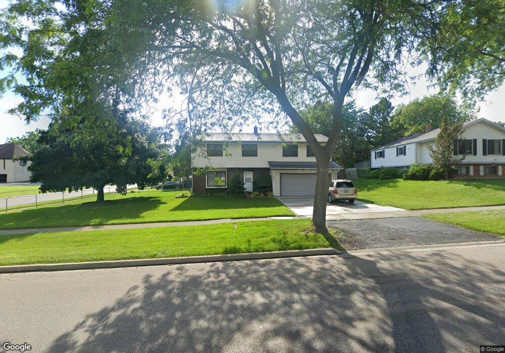
500 N Mcaree Rd Waukegan, IL 60085
West Waukegan NeighborhoodEstimated Value: $305,997 - $333,000
3
Beds
2
Baths
1,848
Sq Ft
$175/Sq Ft
Est. Value
About This Home
This home is located at 500 N Mcaree Rd, Waukegan, IL 60085 and is currently estimated at $322,749, approximately $174 per square foot. 500 N Mcaree Rd is a home located in Lake County with nearby schools including Whittier Elementary School, Robert E. Abbott Middle School, and Waukegan High School.
Ownership History
Date
Name
Owned For
Owner Type
Purchase Details
Closed on
Feb 15, 2013
Sold by
Mondero Melissa H
Bought by
Piol Lucila and Piol Leonardo
Current Estimated Value
Purchase Details
Closed on
Apr 14, 2003
Sold by
Daza Iluminada and Piol Catalina
Bought by
Daza Iluminada H and Iluminada H Daza Declaration Of Trust
Create a Home Valuation Report for This Property
The Home Valuation Report is an in-depth analysis detailing your home's value as well as a comparison with similar homes in the area
Home Values in the Area
Average Home Value in this Area
Purchase History
| Date | Buyer | Sale Price | Title Company |
|---|---|---|---|
| Piol Lucila | $150,000 | None Available | |
| Mondero Melissa H Daza | -- | None Available | |
| Daza Iluminada H | -- | Midwest Land Title Co Inc |
Source: Public Records
Tax History Compared to Growth
Tax History
| Year | Tax Paid | Tax Assessment Tax Assessment Total Assessment is a certain percentage of the fair market value that is determined by local assessors to be the total taxable value of land and additions on the property. | Land | Improvement |
|---|---|---|---|---|
| 2024 | $2,265 | $93,574 | $14,302 | $79,272 |
| 2023 | $2,837 | $83,777 | $12,804 | $70,973 |
| 2022 | $2,837 | $77,435 | $11,207 | $66,228 |
| 2021 | $3,026 | $68,350 | $9,575 | $58,775 |
| 2020 | $3,297 | $63,676 | $8,920 | $54,756 |
| 2019 | $3,819 | $58,349 | $8,174 | $50,175 |
| 2018 | $2,995 | $54,060 | $12,620 | $41,440 |
| 2017 | $3,136 | $47,828 | $11,165 | $36,663 |
| 2016 | $3,491 | $41,561 | $9,702 | $31,859 |
| 2015 | $3,880 | $37,197 | $8,683 | $28,514 |
| 2014 | $5,625 | $38,102 | $9,712 | $28,390 |
| 2012 | $6,842 | $41,280 | $10,521 | $30,759 |
Source: Public Records
Map
Nearby Homes
- 0 Brookside Ave
- 2115 Lydia St
- 615 Tiffany Dr
- 24 Washington Terrace
- 102 Baldwin Ave
- 1213 Grand Ave
- 621 N Austin Ave
- 34887 N Austin Ave
- 603 N Austin Ave
- 3170 W Monroe St Unit 309
- 1005 N Lewis Ave
- 12698 W Grandview Ave
- 132 Dorchester Ct
- 12716 W Grandview Ave
- 49 S Lewis Ave
- 1023 N Elmwood Ave
- 2813 Theresa Ave
- 1038 Indiana Ave
- 3210 W Grandview Ave
- 824 N Butrick St
- 2606 Hyde Park Ave
- 508 N Mcaree Rd
- 501 Willow Ct
- 512 N Mcaree Rd
- 507 Willow Ct
- 2500 Hyde Park Ave
- 503 N Mcaree Rd
- 507 N Mcaree Rd
- 513 Willow Ct
- 516 N Mcaree Rd
- 2429 Hyde Park Ave
- 511 N Mcaree Rd
- 421 N Mcaree Rd
- 519 Willow Ct
- 517 N Mcaree Rd
- 520 N Mcaree Rd
- 2620 Hyde Park Ave
- 510 Willow Ct
- 500 Flossmoor Ave
- 2420 Hyde Park Ave