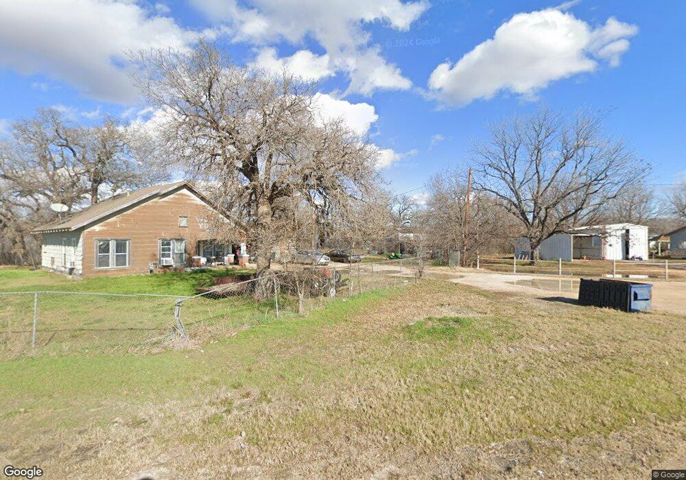
500 N Plum St Millsap, TX 76066
Estimated Value: $228,000 - $484,000
--
Bed
--
Bath
1,271
Sq Ft
$263/Sq Ft
Est. Value
About This Home
This home is located at 500 N Plum St, Millsap, TX 76066 and is currently estimated at $334,313, approximately $263 per square foot. 500 N Plum St is a home located in Parker County with nearby schools including Millsap Elementary School, Millsap Middle School, and Millsap High School.
Ownership History
Date
Name
Owned For
Owner Type
Purchase Details
Closed on
Apr 24, 2008
Sold by
Butler Toby L
Bought by
Butler Toby L and Butler Tammy
Current Estimated Value
Home Financials for this Owner
Home Financials are based on the most recent Mortgage that was taken out on this home.
Original Mortgage
$90,000
Outstanding Balance
$56,624
Interest Rate
5.84%
Mortgage Type
Purchase Money Mortgage
Estimated Equity
$277,689
Purchase Details
Closed on
May 5, 1988
Bought by
Butler Toby L and Butler Tammy
Create a Home Valuation Report for This Property
The Home Valuation Report is an in-depth analysis detailing your home's value as well as a comparison with similar homes in the area
Home Values in the Area
Average Home Value in this Area
Purchase History
| Date | Buyer | Sale Price | Title Company |
|---|---|---|---|
| Butler Toby L | -- | -- | |
| Hmh Land Development Lp | -- | La American | |
| Butler Toby L | -- | -- |
Source: Public Records
Mortgage History
| Date | Status | Borrower | Loan Amount |
|---|---|---|---|
| Open | Hmh Land Development Lp | $90,000 |
Source: Public Records
Tax History Compared to Growth
Tax History
| Year | Tax Paid | Tax Assessment Tax Assessment Total Assessment is a certain percentage of the fair market value that is determined by local assessors to be the total taxable value of land and additions on the property. | Land | Improvement |
|---|---|---|---|---|
| 2025 | $3,148 | $251,583 | -- | -- |
| 2024 | $3,148 | $228,712 | -- | -- |
| 2023 | $3,148 | $207,920 | $0 | $0 |
| 2022 | $4,116 | $191,610 | $142,180 | $49,430 |
| 2021 | $4,057 | $191,610 | $142,180 | $49,430 |
| 2020 | $3,799 | $156,220 | $110,550 | $45,670 |
| 2019 | $1,753 | $67,780 | $22,110 | $45,670 |
| 2018 | $1,355 | $51,840 | $10,000 | $41,840 |
| 2017 | $1,397 | $51,840 | $10,000 | $41,840 |
| 2016 | $1,153 | $42,770 | $9,110 | $33,660 |
| 2015 | $1,140 | $42,770 | $9,110 | $33,660 |
| 2014 | $971 | $36,090 | $8,580 | $27,510 |
Source: Public Records
Map
Nearby Homes
- 1950 Consolation Dr
- 211 N Cherry St
- 207 NE Front St
- 106 S Houston St
- 250 Young Rd
- 130 Trails End Cir
- 9999 Trails End Cir
- 811 NE Front St
- 417 Wood River Rd
- 1923 Wilson Bend Rd
- 320 Wilson Bend Rd
- 000a Wilson Bend Rd
- 000b Wilson Bend Rd
- 1005 Resolute Rd
- 2500 Cool Jct Unit Tract 2
- 2005 Tillman Blvd
- 600 Wilson Bend Rd
- 1045 Churchill Ln
- 4005 Marine Cir
- 3499 S Fm 113