500 NW Oak St Gentry, AR 72734
Estimated Value: $421,000 - $471,000
--
Bed
2
Baths
2,036
Sq Ft
$218/Sq Ft
Est. Value
About This Home
This home is located at 500 NW Oak St, Gentry, AR 72734 and is currently estimated at $443,224, approximately $217 per square foot. 500 NW Oak St is a home located in Benton County with nearby schools including Gentry Intermediate School, Gentry Primary School, and Gentry Middle School.
Ownership History
Date
Name
Owned For
Owner Type
Purchase Details
Closed on
Aug 4, 2009
Sold by
Holland Hills Investment Group Llc
Bought by
Cross Traven and Cross Rebecca F
Current Estimated Value
Home Financials for this Owner
Home Financials are based on the most recent Mortgage that was taken out on this home.
Original Mortgage
$132,600
Outstanding Balance
$86,543
Interest Rate
5.31%
Mortgage Type
New Conventional
Estimated Equity
$356,681
Create a Home Valuation Report for This Property
The Home Valuation Report is an in-depth analysis detailing your home's value as well as a comparison with similar homes in the area
Home Values in the Area
Average Home Value in this Area
Purchase History
| Date | Buyer | Sale Price | Title Company |
|---|---|---|---|
| Cross Traven | $130,000 | None Available |
Source: Public Records
Mortgage History
| Date | Status | Borrower | Loan Amount |
|---|---|---|---|
| Open | Cross Traven | $132,600 |
Source: Public Records
Tax History Compared to Growth
Tax History
| Year | Tax Paid | Tax Assessment Tax Assessment Total Assessment is a certain percentage of the fair market value that is determined by local assessors to be the total taxable value of land and additions on the property. | Land | Improvement |
|---|---|---|---|---|
| 2025 | $1,692 | $88,578 | $5,800 | $82,778 |
| 2024 | $1,595 | $88,578 | $5,800 | $82,778 |
| 2023 | $1,519 | $54,100 | $2,800 | $51,300 |
| 2022 | $1,156 | $54,100 | $2,800 | $51,300 |
| 2021 | $1,083 | $54,100 | $2,800 | $51,300 |
| 2020 | $1,021 | $24,020 | $2,000 | $22,020 |
| 2019 | $1,021 | $24,020 | $2,000 | $22,020 |
| 2018 | $1,046 | $24,020 | $2,000 | $22,020 |
| 2017 | $1,046 | $24,020 | $2,000 | $22,020 |
| 2016 | $1,046 | $24,020 | $2,000 | $22,020 |
| 2015 | $1,624 | $29,520 | $5,000 | $24,520 |
| 2014 | $1,274 | $29,520 | $5,000 | $24,520 |
Source: Public Records
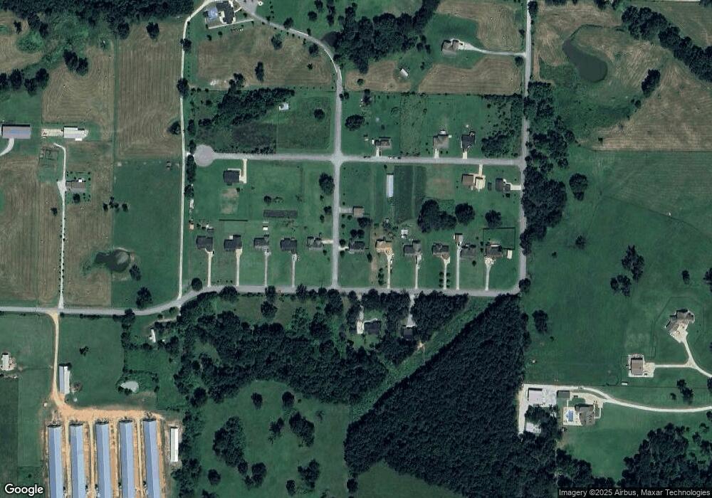
Map
Nearby Homes
- 1571 N Center St
- 541 Ave
- 422 NE Duke Hill Rd
- 796 NW Holland Ave
- 477 NE Duke Hill Rd
- 81 ac N Center St
- 19.95 ac NE 18th Ave
- 236 ac NE 18th Ave
- 80 ac NE 18th Ave
- 492 NW Cowan Ave
- 0 NE 18th Ave
- 14400 W Cowan Rd
- 1257 NW Malone Rd
- Lots 2, 3, 9 & 10 Snyder Estates Rurban Phase 3
- TBD Rocky Comfort Rd
- TBD Bryant Rd
- 12502 Hamilton Dr
- 16.75 Acres Bryant Rd
- 14400 Cowan Rd
- 0 Hutchens Rd
- 204 NW Holland Ave
- 1208 NW Oak St
- 501 NW Oak St
- 1209 NW Oak St
- 200 W Holland Ave
- 1200 NW Oak
- 205 NW 12th Ave
- 304 W Holland Ave
- 304 NW Holland Ave
- 108 W Holland Ave
- 179 Ac W 12 Hwy
- 308 W Holland Ave
- 308 NW Holland Ave
- 201 NW Holland Ave
- 204 NW 12th Ave
- 105 12th Ave
- 0 W 12 Hwy Unit 507137
- 0 NW 12th Ave
- 0 W 12 Hwy Unit 610191
- 0 W 12 Hwy Unit 610192