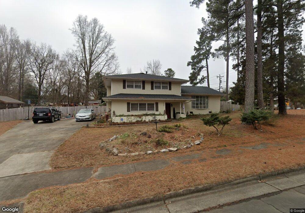
500 Orindo Dr Durham, NC 27713
Woodcroft NeighborhoodEstimated Value: $369,000 - $450,000
3
Beds
3
Baths
1,830
Sq Ft
$224/Sq Ft
Est. Value
About This Home
This home is located at 500 Orindo Dr, Durham, NC 27713 and is currently estimated at $409,862, approximately $223 per square foot. 500 Orindo Dr is a home located in Durham County with nearby schools including Pearsontown Elementary School, Lowe's Grove Middle, and Hillside High School.
Ownership History
Date
Name
Owned For
Owner Type
Purchase Details
Closed on
Dec 12, 2017
Sold by
Federal Home Loan Mortgage Corporation
Bought by
Gaisie Yosheka
Current Estimated Value
Home Financials for this Owner
Home Financials are based on the most recent Mortgage that was taken out on this home.
Original Mortgage
$180,000
Outstanding Balance
$153,034
Interest Rate
4.12%
Mortgage Type
Adjustable Rate Mortgage/ARM
Estimated Equity
$256,828
Purchase Details
Closed on
Dec 20, 2016
Sold by
M & T Bank
Bought by
Federal Home Loan Mortgage Corporation
Purchase Details
Closed on
Nov 21, 2016
Sold by
Young Robert Blue
Bought by
M & T Bank
Create a Home Valuation Report for This Property
The Home Valuation Report is an in-depth analysis detailing your home's value as well as a comparison with similar homes in the area
Home Values in the Area
Average Home Value in this Area
Purchase History
| Date | Buyer | Sale Price | Title Company |
|---|---|---|---|
| Gaisie Yosheka | -- | None Available | |
| Federal Home Loan Mortgage Corporation | -- | -- | |
| M & T Bank | $146,000 | -- |
Source: Public Records
Mortgage History
| Date | Status | Borrower | Loan Amount |
|---|---|---|---|
| Open | Gaisie Yosheka | $180,000 |
Source: Public Records
Tax History
| Year | Tax Paid | Tax Assessment Tax Assessment Total Assessment is a certain percentage of the fair market value that is determined by local assessors to be the total taxable value of land and additions on the property. | Land | Improvement |
|---|---|---|---|---|
| 2025 | $3,940 | $397,506 | $136,900 | $260,606 |
| 2024 | $3,070 | $220,110 | $37,025 | $183,085 |
| 2023 | $2,883 | $220,110 | $37,025 | $183,085 |
| 2022 | $2,817 | $220,110 | $37,025 | $183,085 |
| 2021 | $2,804 | $220,110 | $37,025 | $183,085 |
| 2020 | $2,738 | $220,110 | $37,025 | $183,085 |
| 2019 | $2,738 | $220,110 | $37,025 | $183,085 |
| 2018 | $2,166 | $159,690 | $37,025 | $122,665 |
| 2017 | $2,150 | $159,690 | $37,025 | $122,665 |
| 2016 | $2,078 | $159,690 | $37,025 | $122,665 |
| 2015 | $2,284 | $164,957 | $36,603 | $128,354 |
| 2014 | $2,284 | $164,957 | $36,603 | $128,354 |
Source: Public Records
Map
Nearby Homes
- 311 Ebon Rd
- 812 Beebe Dr
- 6214 Coronado Ln
- 5315 Reams Run Rd
- 5708 Catskill Ct
- 618 Turmeric Ln
- 3631 Sugar Tree Place
- 3617 Sugar Tree Place
- 10 Bridgeport Dr
- 11 Bridgeport Dr
- 2 Red Bluff Ct
- 800 Bluestone Rd
- 5034 Mimosa Dr
- 4613 Lemongrass Ln
- 12 Byerly Ct
- 5511 Tahoe Dr
- 816 Hanson Rd
- 3519 Rawdon Dr
- 6 Ozark Ct
- 100 Stratford Lakes Dr Unit 150
Your Personal Tour Guide
Ask me questions while you tour the home.