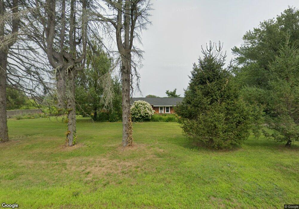
500 Richards Ave Paxton, MA 01612
Estimated Value: $487,000 - $597,000
3
Beds
2
Baths
2,290
Sq Ft
$229/Sq Ft
Est. Value
About This Home
This home is located at 500 Richards Ave, Paxton, MA 01612 and is currently estimated at $523,817, approximately $228 per square foot. 500 Richards Ave is a home located in Worcester County with nearby schools including Wachusett Regional High School.
Ownership History
Date
Name
Owned For
Owner Type
Purchase Details
Closed on
Jan 31, 2003
Sold by
Brown Alan R and Brown Elizabeth A
Bought by
Simone Scott T and Root-Simone Sara E
Current Estimated Value
Home Financials for this Owner
Home Financials are based on the most recent Mortgage that was taken out on this home.
Original Mortgage
$188,000
Interest Rate
6.09%
Mortgage Type
Purchase Money Mortgage
Purchase Details
Closed on
Dec 17, 1997
Sold by
Gaulin Raymond W and Gaulin Laura J
Bought by
Brown Alan R and Brown Elizabeth
Home Financials for this Owner
Home Financials are based on the most recent Mortgage that was taken out on this home.
Original Mortgage
$90,000
Interest Rate
7.14%
Mortgage Type
Purchase Money Mortgage
Create a Home Valuation Report for This Property
The Home Valuation Report is an in-depth analysis detailing your home's value as well as a comparison with similar homes in the area
Home Values in the Area
Average Home Value in this Area
Purchase History
| Date | Buyer | Sale Price | Title Company |
|---|---|---|---|
| Simone Scott T | $235,000 | -- | |
| Brown Alan R | $125,000 | -- |
Source: Public Records
Mortgage History
| Date | Status | Borrower | Loan Amount |
|---|---|---|---|
| Open | Simone Scott T | $227,000 | |
| Closed | Simone Scott T | $188,000 | |
| Previous Owner | Brown Alan R | $90,000 |
Source: Public Records
Tax History Compared to Growth
Tax History
| Year | Tax Paid | Tax Assessment Tax Assessment Total Assessment is a certain percentage of the fair market value that is determined by local assessors to be the total taxable value of land and additions on the property. | Land | Improvement |
|---|---|---|---|---|
| 2025 | $6,418 | $435,400 | $100,800 | $334,600 |
| 2024 | $6,510 | $405,100 | $100,800 | $304,300 |
| 2023 | $6,566 | $373,500 | $91,700 | $281,800 |
| 2022 | $6,512 | $343,075 | $91,575 | $251,500 |
| 2021 | $6,146 | $311,480 | $83,380 | $228,100 |
| 2020 | $6,146 | $311,480 | $75,880 | $235,600 |
| 2019 | $6,014 | $304,660 | $69,060 | $235,600 |
| 2018 | $4,377 | $254,500 | $65,800 | $188,700 |
| 2017 | $5,018 | $246,100 | $62,700 | $183,400 |
| 2016 | $4,690 | $227,800 | $62,500 | $165,300 |
| 2015 | $4,758 | $228,864 | $69,064 | $159,800 |
| 2014 | $4,618 | $225,164 | $69,064 | $156,100 |
Source: Public Records
Map
Nearby Homes
- 4 Wilson Way
- 2 Kosta Ave
- 7 Victoria Ave
- 289 Richards Ave
- 14 Welch Ave Unit A
- LOT 8 Pierre Cir
- 11 Brigham Rd
- 7 Emerald Rd
- 189 Maple Ave
- 236 Turkey Hill Rd
- 176 Maple Ave Unit 1-38
- 176 Maple Ave Unit 3-25
- 217 Grove St
- 32 West St
- 19 Keep Ave
- 4 Black Hill Rd
- 7 Prescott St
- 230 West St
- 85 Maple Ave Unit A
- 132 Fidelity Dr Unit 61
- 508 Richards Ave
- 495 Richards Ave
- 370 Richards Ave
- 360 Richards Ave
- 32 Peters Ave
- 30 Peters Ave
- 28 Peters Ave
- 25 Peters Ave
- 296 Maple Ave
- 25 Peters Ave
- 21 Peters Ave
- 350 Richards Ave
- 294 Maple Ave Unit LOT2
- 294 Maple Ave
- 294 Maple Ave
- 19 Peters Ave
- 20 Peters Ave
- 28 Kosta Ave
- 16 Peters Ave
- 17 Peters Ave