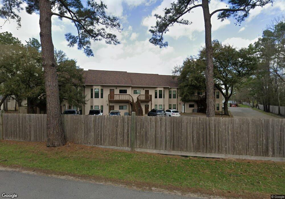
500 River Rd Unit 104 Montgomery, TX 77356
Lake Conroe NeighborhoodEstimated Value: $239,467 - $384,000
--
Bed
2
Baths
1,425
Sq Ft
$222/Sq Ft
Est. Value
About This Home
This home is located at 500 River Rd Unit 104, Montgomery, TX 77356 and is currently estimated at $316,117, approximately $221 per square foot. 500 River Rd Unit 104 is a home located in Montgomery County with nearby schools including Madeley Ranch Elementary School, Montgomery Junior High School, and Montgomery High School.
Ownership History
Date
Name
Owned For
Owner Type
Purchase Details
Closed on
Nov 9, 2018
Sold by
Shuck William P
Bought by
Keller Jason A
Current Estimated Value
Purchase Details
Closed on
May 11, 1995
Sold by
Shuck Phyllis Sue
Bought by
Shuck William P
Home Financials for this Owner
Home Financials are based on the most recent Mortgage that was taken out on this home.
Original Mortgage
$70,650
Interest Rate
7.53%
Purchase Details
Closed on
Dec 8, 1994
Sold by
Wilkinson Barbara A
Bought by
Shuck William P
Purchase Details
Closed on
Oct 31, 1989
Sold by
Probity Co Inc
Bought by
Shuck William Paul
Purchase Details
Closed on
Sep 1, 1982
Bought by
Shuck William Paul
Create a Home Valuation Report for This Property
The Home Valuation Report is an in-depth analysis detailing your home's value as well as a comparison with similar homes in the area
Home Values in the Area
Average Home Value in this Area
Purchase History
| Date | Buyer | Sale Price | Title Company |
|---|---|---|---|
| Keller Jason A | -- | None Available | |
| Shuck William P | -- | -- | |
| Shuck William P | -- | -- | |
| Shuck William Paul | -- | -- | |
| Shuck William Paul | -- | -- |
Source: Public Records
Mortgage History
| Date | Status | Borrower | Loan Amount |
|---|---|---|---|
| Previous Owner | Shuck William P | $70,650 |
Source: Public Records
Tax History Compared to Growth
Tax History
| Year | Tax Paid | Tax Assessment Tax Assessment Total Assessment is a certain percentage of the fair market value that is determined by local assessors to be the total taxable value of land and additions on the property. | Land | Improvement |
|---|---|---|---|---|
| 2025 | $2,866 | $219,000 | $22,500 | $196,500 |
| 2024 | $2,475 | $219,000 | $7,840 | $211,160 |
| 2023 | $2,475 | $205,700 | $7,840 | $246,360 |
| 2022 | $3,858 | $187,000 | $7,840 | $0 |
| 2021 | $4,067 | $190,130 | $7,840 | $182,290 |
| 2020 | $3,999 | $180,650 | $7,840 | $194,490 |
| 2019 | $3,772 | $164,230 | $7,840 | $156,390 |
| 2018 | $3,772 | $164,230 | $7,840 | $156,390 |
| 2017 | $3,730 | $164,230 | $7,840 | $156,390 |
| 2016 | $3,905 | $171,940 | $7,840 | $164,100 |
| 2015 | $3,681 | $163,270 | $7,840 | $155,430 |
| 2014 | $3,681 | $163,270 | $7,840 | $155,430 |
Source: Public Records
Map
Nearby Homes
- 500 River Rd Unit 106
- 11130 Hunters Landing
- 11315 Alcott Dr
- 11068 1st Light
- 11527 Ripplewind Dr
- 11530 Ripplewind Dr
- 11363 Burning Tree Dr
- 114 Fairwater Dr
- 2806 Sunburst Ln
- 11338 Shadyside Ln
- 11342 Shadyside Ln
- 2914 Whitman Dr
- 11514 Alcott Dr
- 3511 Brookhaven Dr
- 11630 Twain Dr
- 786 River Rd
- 11403 Twain Dr
- 1113 River Rd
- 11706 Walden Rd
- 3062 Poe Dr
- 500 River Rd Unit 103
- 500 River Rd
- 500 River Rd Unit 109
- 500 River Rd Unit 108
- 500 River Rd Unit 107
- 500 River Rd Unit 105
- 500 River Rd Unit 103
- 500 River Rd Unit 101
- 500 River Rd Unit 110
- 500 River Rd Unit 102
- 217 Lake Walden Cove
- 216 Lake Walden Cove
- 214 Lake Walden Cove
- 11206 Glenforest Dr
- 11210 Glenforest Dr
- 11202 Glen Forest
- 11214 Glenforest Dr
- 213 Lake Walden Cove
- 211 Lake Walden Cove
- 11118 Hunters Landing