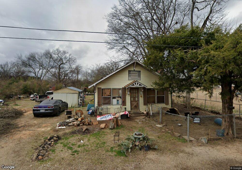
500 S 2nd St Gurdon, AR 71743
Estimated Value: $38,729 - $76,000
--
Bed
1
Bath
840
Sq Ft
$65/Sq Ft
Est. Value
About This Home
This home is located at 500 S 2nd St, Gurdon, AR 71743 and is currently estimated at $54,432, approximately $64 per square foot. 500 S 2nd St is a home located in Clark County with nearby schools including Gurdon Primary School, Cabe Middle School, and Gurdon High School.
Ownership History
Date
Name
Owned For
Owner Type
Purchase Details
Closed on
Jul 24, 2024
Sold by
Mcquaid Michael James
Bought by
Fields Ronald L
Current Estimated Value
Purchase Details
Closed on
Jun 18, 2024
Sold by
Mcquaid Thomas Michael
Bought by
Fields Ronald L
Purchase Details
Closed on
May 18, 2024
Sold by
Mcquaid Thomas M
Bought by
Mcquaid Michael James
Purchase Details
Closed on
May 7, 2024
Sold by
Mcquaid Holdridge Kathleen
Bought by
Fields Ronald L
Purchase Details
Closed on
Aug 17, 2006
Bought by
Mcquaid Thomas and Mcquaid Margaret
Purchase Details
Closed on
Jul 13, 2005
Bought by
Thomas Brenda
Purchase Details
Closed on
Aug 1, 1991
Bought by
Thomas Ralph and Thomas Brenda
Create a Home Valuation Report for This Property
The Home Valuation Report is an in-depth analysis detailing your home's value as well as a comparison with similar homes in the area
Home Values in the Area
Average Home Value in this Area
Purchase History
| Date | Buyer | Sale Price | Title Company |
|---|---|---|---|
| Fields Ronald L | -- | None Listed On Document | |
| Fields Ronald L | -- | None Listed On Document | |
| Mcquaid Michael James | -- | None Listed On Document | |
| Mcquaid Thomas Michael | -- | None Listed On Document | |
| Holdridge Kathleen Mcquaid | -- | None Listed On Document | |
| Fields Ronald L | -- | None Listed On Document | |
| Mcquaid Thomas | $30,000 | -- | |
| Thomas Brenda | -- | -- | |
| Thomas Ralph | $4,000 | -- |
Source: Public Records
Tax History Compared to Growth
Tax History
| Year | Tax Paid | Tax Assessment Tax Assessment Total Assessment is a certain percentage of the fair market value that is determined by local assessors to be the total taxable value of land and additions on the property. | Land | Improvement |
|---|---|---|---|---|
| 2024 | -- | $3,480 | $600 | $2,880 |
| 2023 | $0 | $3,480 | $600 | $2,880 |
| 2022 | $0 | $3,480 | $600 | $2,880 |
| 2021 | $0 | $3,480 | $600 | $2,880 |
| 2020 | $0 | $3,480 | $600 | $2,880 |
| 2019 | $0 | $2,790 | $600 | $2,190 |
| 2018 | $0 | $2,790 | $600 | $2,190 |
| 2017 | $0 | $2,790 | $600 | $2,190 |
| 2016 | -- | $2,790 | $600 | $2,190 |
| 2015 | -- | $2,790 | $600 | $2,190 |
| 2014 | -- | $2,990 | $600 | $2,390 |
Source: Public Records
Map
Nearby Homes
- 51 South St
- 313 W Miller St
- 326 Arkansas 53
- 0000 Arkansas 53
- 7104 Highway 67 S
- 109 N 7th St
- 110 S 10th St
- TBD Kansas Rd
- 000 Kansas Rd
- 103 Stonegate Ct
- 1795 Bowen Hill Rd
- TBD Hwy 67 S
- TBD Hwy 67
- 58 Dodgen Rd
- 236 Lockie Rd
- 845 Stevenson Rd
- 196 Stevenson Rd
- 602 Stevenson Rd
- 652 Center Point
- 505 Stevenson Rd