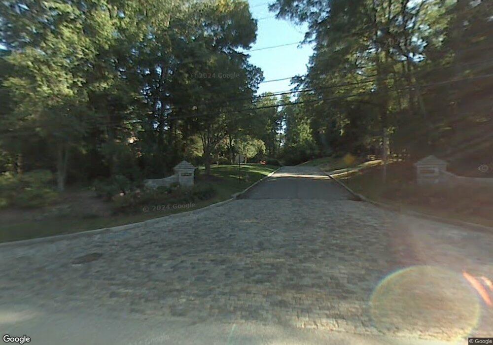
Estimated Value: $1,114,000 - $2,467,732
6
Beds
4
Baths
5,243
Sq Ft
$393/Sq Ft
Est. Value
About This Home
This home is located at 500 Saint Davids Rd, Wayne, PA 19087 and is currently estimated at $2,059,433, approximately $392 per square foot. 500 Saint Davids Rd is a home located in Delaware County with nearby schools including Wayne Elementary School, Radnor Middle School, and Radnor Senior High School.
Ownership History
Date
Name
Owned For
Owner Type
Purchase Details
Closed on
Aug 9, 2005
Sold by
Hackett Robert C and Hackett Karen A
Bought by
Till Robert E and Till Jane Hoffman
Current Estimated Value
Home Financials for this Owner
Home Financials are based on the most recent Mortgage that was taken out on this home.
Original Mortgage
$1,000,000
Interest Rate
5.54%
Mortgage Type
Fannie Mae Freddie Mac
Purchase Details
Closed on
Jun 15, 2000
Sold by
Davignon J Paul and Davignon Carol
Bought by
Hackett Robert C and Hackett Karen A
Create a Home Valuation Report for This Property
The Home Valuation Report is an in-depth analysis detailing your home's value as well as a comparison with similar homes in the area
Home Values in the Area
Average Home Value in this Area
Purchase History
| Date | Buyer | Sale Price | Title Company |
|---|---|---|---|
| Till Robert E | $1,420,000 | Brandywine Abstract Co Lp | |
| Hackett Robert C | $758,500 | Commonwealth Land Title Ins |
Source: Public Records
Mortgage History
| Date | Status | Borrower | Loan Amount |
|---|---|---|---|
| Closed | Till Robert E | $1,000,000 |
Source: Public Records
Tax History Compared to Growth
Tax History
| Year | Tax Paid | Tax Assessment Tax Assessment Total Assessment is a certain percentage of the fair market value that is determined by local assessors to be the total taxable value of land and additions on the property. | Land | Improvement |
|---|---|---|---|---|
| 2025 | $27,575 | $1,363,860 | $302,680 | $1,061,180 |
| 2024 | $27,575 | $1,363,860 | $302,680 | $1,061,180 |
| 2023 | $26,482 | $1,363,860 | $302,680 | $1,061,180 |
| 2022 | $26,193 | $1,363,860 | $302,680 | $1,061,180 |
| 2021 | $42,073 | $1,363,860 | $302,680 | $1,061,180 |
| 2020 | $15,682 | $450,800 | $149,660 | $301,140 |
| 2019 | $14,564 | $430,800 | $149,660 | $281,140 |
| 2018 | $14,278 | $430,800 | $0 | $0 |
| 2017 | $13,979 | $430,800 | $0 | $0 |
| 2016 | $2,364 | $430,800 | $0 | $0 |
| 2015 | $2,412 | $430,800 | $0 | $0 |
| 2014 | $2,364 | $430,800 | $0 | $0 |
Source: Public Records
Map
Nearby Homes
- 500 E Lancaster Ave Unit 126A
- 500 E Lancaster Ave Unit 117A
- 353 Oak Terrace
- 205 N Aberdeen Ave
- 24 Orchard Ln
- 256 Willow Ave
- 207 Willow Ave
- 458 Huston Rd
- 328 Conestoga Rd
- Fenimore Plan at North Wayne
- Harrison Plan at North Wayne
- 0 Greenwell Ln
- 188 Abrahams Ln
- 253 Ithan Creek Rd
- 305 E Beechtree Ln
- 317 E Beechtree Ln
- 484 King of Prussia Rd
- 625 Conestoga Rd
- 232 Conestoga Rd
- 1052 Eagle Rd
- 500 Saint Davids Rd Unit 106A
- 203 Saint Davids Ct
- 410 Orchard Way
- 205 Saint Davids Ct
- 423 Saint Davids Rd
- 414 Orchard Way
- 421 Saint Davids Rd
- 420 Saint Davids Rd
- 405 Orchard Way
- 209 Saint Davids Ct
- 419 Saint Davids Rd
- 427 Saint Davids Rd
- 418 Orchard Way
- 502 Meadowbrook Cir
- 421 Meadowbrook Ave
- 418 Saint Davids Rd
- 417 Saint Davids Rd
- 202 Saint Davids Ct
- 204 Saint Davids Ct
- 508 Saint Davids Rd
