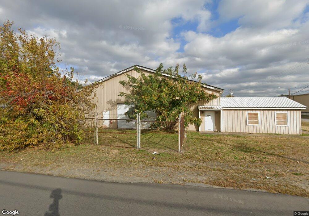
500 Vine St North Little Rock, AR 72114
East Argenta NeighborhoodEstimated Value: $330,609
--
Bed
--
Bath
16,000
Sq Ft
$21/Sq Ft
Est. Value
About This Home
This home is located at 500 Vine St, North Little Rock, AR 72114 and is currently estimated at $330,609, approximately $20 per square foot. 500 Vine St is a home located in Pulaski County with nearby schools including Seventh Street Elementary School, North Little Rock Middle School 6th Grade Campus, and North Little Rock High School.
Ownership History
Date
Name
Owned For
Owner Type
Purchase Details
Closed on
Jun 29, 2022
Sold by
Blankenship William F
Bought by
Blankenship William F and William F Blankenship Revocable Trust
Current Estimated Value
Purchase Details
Closed on
Apr 26, 2001
Sold by
Horchow S Roger and Horchow Carolyn P
Bought by
Blankenship William F and Blankenship June B
Home Financials for this Owner
Home Financials are based on the most recent Mortgage that was taken out on this home.
Original Mortgage
$116,000
Interest Rate
6.89%
Mortgage Type
Seller Take Back
Create a Home Valuation Report for This Property
The Home Valuation Report is an in-depth analysis detailing your home's value as well as a comparison with similar homes in the area
Home Values in the Area
Average Home Value in this Area
Purchase History
| Date | Buyer | Sale Price | Title Company |
|---|---|---|---|
| Blankenship William F | -- | None Listed On Document | |
| Blankenship William F | $145,000 | -- |
Source: Public Records
Mortgage History
| Date | Status | Borrower | Loan Amount |
|---|---|---|---|
| Previous Owner | Blankenship William F | $116,000 |
Source: Public Records
Tax History Compared to Growth
Tax History
| Year | Tax Paid | Tax Assessment Tax Assessment Total Assessment is a certain percentage of the fair market value that is determined by local assessors to be the total taxable value of land and additions on the property. | Land | Improvement |
|---|---|---|---|---|
| 2025 | $2,462 | $36,850 | $9,932 | $26,918 |
| 2024 | $2,462 | $36,850 | $9,932 | $26,918 |
| 2023 | $2,462 | $36,850 | $9,932 | $26,918 |
| 2022 | $2,462 | $36,850 | $9,932 | $26,918 |
| 2021 | $2,435 | $36,450 | $9,930 | $26,520 |
| 2020 | $2,435 | $36,450 | $9,930 | $26,520 |
| 2019 | $2,435 | $36,450 | $9,930 | $26,520 |
| 2018 | $2,435 | $36,450 | $9,930 | $26,520 |
| 2017 | $2,435 | $36,450 | $9,930 | $26,520 |
| 2016 | $2,819 | $42,202 | $13,110 | $29,092 |
| 2015 | $2,819 | $42,202 | $13,110 | $29,092 |
| 2014 | $2,819 | $42,202 | $13,110 | $29,092 |
Source: Public Records
Map
Nearby Homes
- 114 N Walnut St
- 000 Highway 65 Unit Tract 3
- 000 Highway 65 Unit Tract 2
- 000 Highway 65 Unit Tract 6
- 000 Highway 65 Unit Tract 1
- 000 Highway 65 Unit Tract 4
- 000 Highway 65 Unit Tract 5
- 1004 E 11th St
- 912 N Poplar St
- 400 E 12th St
- 1400 N Magnolia St
- 818 E 14th St
- 824 E 14th St
- 817 Maple St
- 1306 N Magnolia St
- 820 Orange St
- 301 E 14th St
- 1408 N Magnolia St
- 100 Melrose Divide
- 801 E 16th St