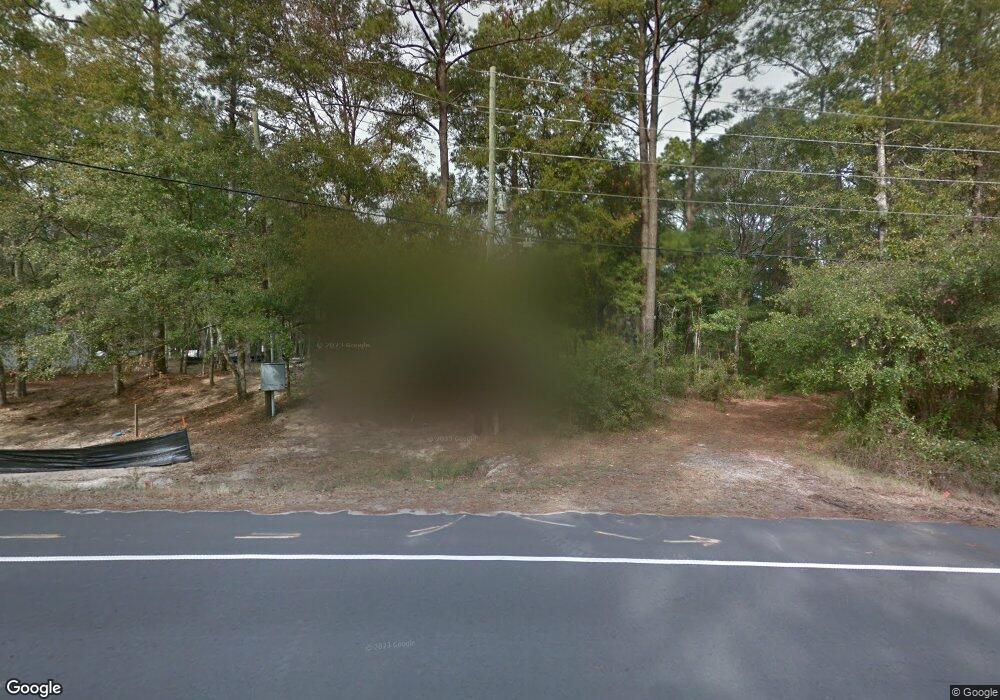
500 W 9th St Southport, NC 28461
Estimated Value: $590,000 - $802,000
3
Beds
2
Baths
1,935
Sq Ft
$345/Sq Ft
Est. Value
About This Home
This home is located at 500 W 9th St, Southport, NC 28461 and is currently estimated at $666,965, approximately $344 per square foot. 500 W 9th St is a home with nearby schools including Southport Elementary School, South Brunswick Middle School, and South Brunswick High School.
Ownership History
Date
Name
Owned For
Owner Type
Purchase Details
Closed on
Mar 18, 2021
Sold by
Cox Virginia C and Mcauliffe Owen Rodney
Bought by
Cox Virginia Claire and Mcauliffe Owen Rodney
Current Estimated Value
Home Financials for this Owner
Home Financials are based on the most recent Mortgage that was taken out on this home.
Original Mortgage
$367,500
Outstanding Balance
$329,605
Interest Rate
2.73%
Mortgage Type
New Conventional
Estimated Equity
$337,360
Purchase Details
Closed on
Aug 27, 2015
Sold by
Smith Marcus and Smith Nicole F
Bought by
Cox Virginia C
Purchase Details
Closed on
Jul 20, 2007
Sold by
Frink Curtis Gerald and Frink Jwantana Gardner
Bought by
Smith Marcus and Smith Nicole F
Create a Home Valuation Report for This Property
The Home Valuation Report is an in-depth analysis detailing your home's value as well as a comparison with similar homes in the area
Home Values in the Area
Average Home Value in this Area
Purchase History
| Date | Buyer | Sale Price | Title Company |
|---|---|---|---|
| Cox Virginia Claire | -- | None Available | |
| Cox Virginia C | $54,500 | None Available | |
| Smith Marcus | $68,500 | None Available |
Source: Public Records
Mortgage History
| Date | Status | Borrower | Loan Amount |
|---|---|---|---|
| Open | Cox Virginia Claire | $367,500 |
Source: Public Records
Tax History Compared to Growth
Tax History
| Year | Tax Paid | Tax Assessment Tax Assessment Total Assessment is a certain percentage of the fair market value that is determined by local assessors to be the total taxable value of land and additions on the property. | Land | Improvement |
|---|---|---|---|---|
| 2025 | $4,471 | $588,270 | $113,600 | $474,670 |
| 2024 | $4,471 | $588,270 | $113,600 | $474,670 |
| 2023 | $3,807 | $588,270 | $113,600 | $474,670 |
| 2022 | $3,807 | $370,110 | $57,600 | $312,510 |
| 2021 | $3,312 | $370,110 | $57,600 | $312,510 |
| 2020 | $3,312 | $370,110 | $57,600 | $312,510 |
| 2019 | $3,312 | $57,600 | $57,600 | $0 |
| 2018 | $2,866 | $315,760 | $46,200 | $269,560 |
| 2017 | $2,519 | $46,200 | $46,200 | $0 |
| 2016 | $366 | $46,200 | $46,200 | $0 |
| 2015 | $366 | $77,000 | $77,000 | $0 |
| 2014 | $571 | $77,000 | $77,000 | $0 |
Source: Public Records
Map
Nearby Homes
- Tr-2 W 9th St
- Tr-1 W 9th St
- 1028 Downrigger Trail
- Lot 5b Hankinsville Rd
- 742 Skipjack Cir
- 1100 Spincast Rd
- 27 Lots N Caswell Ave
- 826 N Caswell Ave
- Lot 5a N Caswell Ave
- 29 N Caswell Ave
- 611 N Burrington Ave
- 822 N Lord St
- 304 W 11th St
- 607 Burrington Ave
- Lot 8 Clarendon Ave
- 617 Port Haven Way
- 520 Clarendon Ave
- Lot 1 Maple Ave
- 500 W Saint George St
- 813 Cades Trail
- 490 W 9th St
- L-219&220 W 9th St
- L219&L220 W 9th St
- 0.27 Acre W 9th St
- Tr1 W 9th St
- 1.5 Acre + W 9th St
- Lot 6 B-17 W 9th St
- Lot 5 B-17 W 9th St
- 3 & 4 B-17 W 9th St
- 5 B-17 W 9th St
- 312 W 9th St
- 0 W 9th St Unit 100347976
- 0 W 9th St Unit 20623609
- 0 W 9th St Unit 20653678
- 0 W 9th St Unit 20659297
- 0 W 9th St Unit 20683878
- 0 W 9th St Unit 20696892
- 0 W 9th St Unit 20696894
- 0 W 9th St Unit 20696891
- 0 W 9th St Unit 20696890
