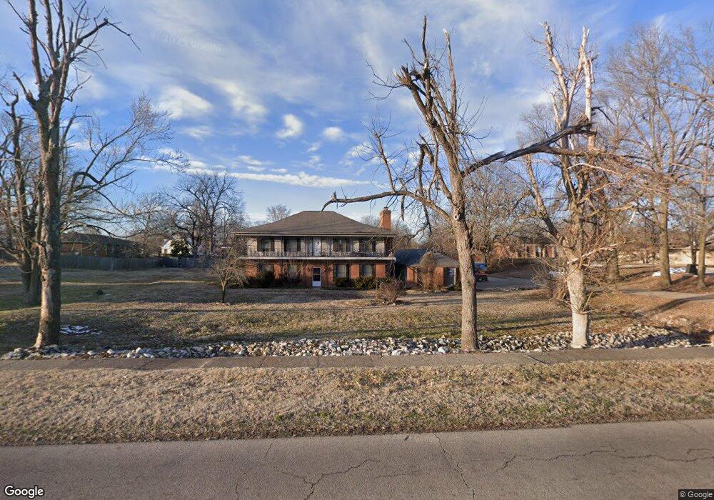
500 W Grant St Dexter, MO 63841
Estimated Value: $187,000 - $277,435
--
Bed
--
Bath
2,749
Sq Ft
$85/Sq Ft
Est. Value
About This Home
This home is located at 500 W Grant St, Dexter, MO 63841 and is currently estimated at $233,145, approximately $84 per square foot. 500 W Grant St is a home located in Stoddard County with nearby schools including Southwest Elementary School, Central Elementary School, and T.S. Hill Middle School.
Ownership History
Date
Name
Owned For
Owner Type
Purchase Details
Closed on
Nov 30, 2021
Sold by
Holden Investments Inc
Bought by
Mts Props & Invs Llc
Current Estimated Value
Home Financials for this Owner
Home Financials are based on the most recent Mortgage that was taken out on this home.
Original Mortgage
$257,459
Outstanding Balance
$236,668
Interest Rate
3.07%
Mortgage Type
Construction
Estimated Equity
-$3,523
Purchase Details
Closed on
Mar 4, 2014
Sold by
Dorton Jerry D and Dorton Sandy F
Bought by
Holden Investments Inc
Create a Home Valuation Report for This Property
The Home Valuation Report is an in-depth analysis detailing your home's value as well as a comparison with similar homes in the area
Home Values in the Area
Average Home Value in this Area
Purchase History
| Date | Buyer | Sale Price | Title Company |
|---|---|---|---|
| Mts Props & Invs Llc | $321,823 | National Title & Escrow Inc | |
| Holden Investments Inc | $669,053 | United Land Title |
Source: Public Records
Mortgage History
| Date | Status | Borrower | Loan Amount |
|---|---|---|---|
| Open | Mts Props & Invs Llc | $257,459 |
Source: Public Records
Tax History Compared to Growth
Tax History
| Year | Tax Paid | Tax Assessment Tax Assessment Total Assessment is a certain percentage of the fair market value that is determined by local assessors to be the total taxable value of land and additions on the property. | Land | Improvement |
|---|---|---|---|---|
| 2025 | $1,994 | $44,745 | $0 | $0 |
| 2024 | $1,994 | $43,073 | $0 | $0 |
| 2023 | $1,991 | $43,073 | $0 | $0 |
| 2022 | $1,922 | $41,648 | $0 | $0 |
| 2021 | $1,922 | $41,648 | $0 | $0 |
| 2020 | $1,946 | $41,705 | $0 | $0 |
| 2019 | $1,942 | $41,914 | $0 | $0 |
| 2018 | $1,920 | $41,705 | $0 | $0 |
| 2016 | $1,820 | $40,793 | $0 | $0 |
| 2015 | -- | $40,793 | $0 | $0 |
| 2014 | -- | $40,983 | $0 | $0 |
| 2013 | -- | $0 | $0 | $0 |
Source: Public Records
Map
Nearby Homes
- 501 Forrest St
- 707 W Bain St
- 727 W Fannetta St
- 404 Moore St
- 316 W Bain St
- 502 Chautauqua Ln
- 106 W Grant St
- 805 W Bain St
- 213 S Sassafras
- 909 Saddle Spur Rd
- 828 S Lewis St
- 0 Lewis & Albert St Unit MAR25013843
- 830 S Lewis St
- 322 S Locust St
- 702 Trotter Ln
- 922 Susan St
- 1001 S One Mile Rd
- 211 W Castor St
- 1013 Susan St
- 435 W Elk St