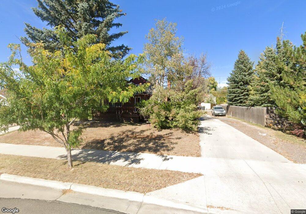
500 W Pershing Blvd Cheyenne, WY 82001
Moore Haven Heights NeighborhoodEstimated Value: $378,000 - $423,000
--
Bed
--
Bath
1,213
Sq Ft
$323/Sq Ft
Est. Value
About This Home
This home is located at 500 W Pershing Blvd, Cheyenne, WY 82001 and is currently estimated at $392,329, approximately $323 per square foot. 500 W Pershing Blvd is a home located in Laramie County with nearby schools including Deming Elementary School, Miller Elementary School, and McCormick Junior High School.
Ownership History
Date
Name
Owned For
Owner Type
Purchase Details
Closed on
Dec 28, 2011
Sold by
Obrien William
Bought by
Obrien William and Lozano Brittany
Current Estimated Value
Create a Home Valuation Report for This Property
The Home Valuation Report is an in-depth analysis detailing your home's value as well as a comparison with similar homes in the area
Home Values in the Area
Average Home Value in this Area
Purchase History
| Date | Buyer | Sale Price | Title Company |
|---|---|---|---|
| Obrien William | -- | Accommodation |
Source: Public Records
Tax History Compared to Growth
Tax History
| Year | Tax Paid | Tax Assessment Tax Assessment Total Assessment is a certain percentage of the fair market value that is determined by local assessors to be the total taxable value of land and additions on the property. | Land | Improvement |
|---|---|---|---|---|
| 2025 | $2,452 | $26,321 | $3,750 | $22,571 |
| 2024 | $2,452 | $34,679 | $4,999 | $29,680 |
| 2023 | $2,604 | $36,826 | $4,999 | $31,827 |
| 2022 | $2,223 | $30,796 | $4,999 | $25,797 |
| 2021 | $1,910 | $26,406 | $4,999 | $21,407 |
| 2020 | $1,950 | $27,033 | $4,999 | $22,034 |
| 2019 | $1,868 | $25,868 | $4,999 | $20,869 |
| 2018 | $1,651 | $23,082 | $4,014 | $19,068 |
| 2017 | $1,674 | $23,199 | $4,014 | $19,185 |
| 2016 | $1,577 | $21,847 | $3,629 | $18,218 |
| 2015 | $1,531 | $21,202 | $3,629 | $17,573 |
| 2014 | $1,556 | $21,410 | $3,629 | $17,781 |
Source: Public Records
Map
Nearby Homes
- 514 W Pershing Blvd
- 422 W Pershing Blvd
- 522 W Pershing Blvd
- 420 W Pershing Blvd
- 425 W 1st Ave
- 421 W 1st Ave
- 427 W 1st Ave
- 417 W 1st Ave
- 418 W Pershing Blvd
- 429 W 1st Ave
- 415 W 1st Ave
- 3133 Thomes Ave
- 412 W Pershing Blvd
- 411 W 1st Ave
- 702 W Pershing Blvd
- 3308 Bent Ave
- 3134 Thomes Ave
- 3131 Thomes Ave
- 409 W 1st Ave
- 408 W Pershing Blvd