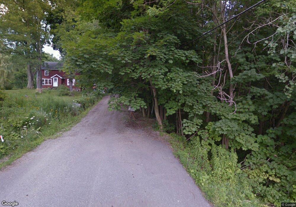
5000 Hamot St Mc Kean, PA 16426
Estimated Value: $158,000 - $265,000
5
Beds
2
Baths
1,689
Sq Ft
$135/Sq Ft
Est. Value
About This Home
This home is located at 5000 Hamot St, Mc Kean, PA 16426 and is currently estimated at $228,040, approximately $135 per square foot. 5000 Hamot St is a home with nearby schools including McKean Elementary School, James W. Parker Middle School, and General McLane High School.
Ownership History
Date
Name
Owned For
Owner Type
Purchase Details
Closed on
Dec 30, 2004
Sold by
Kent Properties Inc
Bought by
Hauth Charles E
Current Estimated Value
Home Financials for this Owner
Home Financials are based on the most recent Mortgage that was taken out on this home.
Original Mortgage
$51,750
Outstanding Balance
$27,835
Interest Rate
6.75%
Mortgage Type
Purchase Money Mortgage
Estimated Equity
$200,205
Create a Home Valuation Report for This Property
The Home Valuation Report is an in-depth analysis detailing your home's value as well as a comparison with similar homes in the area
Home Values in the Area
Average Home Value in this Area
Purchase History
| Date | Buyer | Sale Price | Title Company |
|---|---|---|---|
| Hauth Charles E | $65,000 | -- |
Source: Public Records
Mortgage History
| Date | Status | Borrower | Loan Amount |
|---|---|---|---|
| Open | Hauth Charles E | $51,750 | |
| Closed | Hauth Charles E | $10,000 |
Source: Public Records
Tax History Compared to Growth
Tax History
| Year | Tax Paid | Tax Assessment Tax Assessment Total Assessment is a certain percentage of the fair market value that is determined by local assessors to be the total taxable value of land and additions on the property. | Land | Improvement |
|---|---|---|---|---|
| 2025 | $2,481 | $109,010 | $43,200 | $65,810 |
| 2024 | $2,403 | $109,010 | $43,200 | $65,810 |
| 2023 | $2,261 | $109,010 | $43,200 | $65,810 |
| 2022 | $2,195 | $109,010 | $43,200 | $65,810 |
| 2021 | $2,167 | $109,010 | $43,200 | $65,810 |
| 2020 | $2,140 | $109,010 | $43,200 | $65,810 |
| 2019 | $2,126 | $109,010 | $43,200 | $65,810 |
| 2018 | $2,080 | $109,010 | $43,200 | $65,810 |
| 2017 | $2,080 | $109,010 | $43,200 | $65,810 |
| 2016 | $2,431 | $109,010 | $43,200 | $65,810 |
| 2015 | $2,403 | $109,010 | $43,200 | $65,810 |
| 2014 | $1,177 | $109,010 | $43,200 | $65,810 |
Source: Public Records
Map
Nearby Homes
- 11897 Silverthorn (Tr 86 Rt T438) Rd
- 4954 East Ave
- 5115 West Rd
- 0 Edinboro Rd Unit 182375
- 4854 N Main St
- 702 Skyline Dr
- 209 Timberlake Dr
- 6330 Rick Rd
- 8580 Rick Rd
- 8389 Edinboro Rd
- 15 Woodside Dr
- 6797 Sterrettania Rd
- 6419 Sterrettania Rd
- 2880 Cardinal Dr Unit 34
- 2800 Sun Ridge Dr
- 0 Pagan Rd
- 8535 Oliver Rd
- 8340-8350 Oliver Rd
- 8350 Oliver Rd
- 8340 Oliver Rd