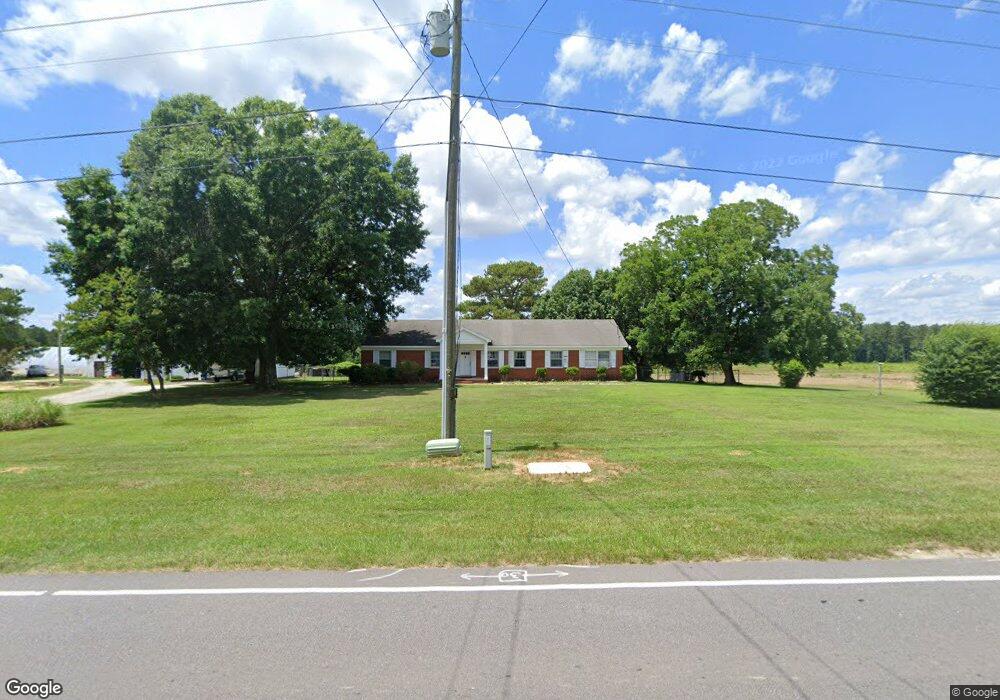
5000 Raynor Rd Garner, NC 27529
White Oak NeighborhoodEstimated Value: $349,000 - $618,000
--
Bed
2
Baths
2,001
Sq Ft
$232/Sq Ft
Est. Value
About This Home
This home is located at 5000 Raynor Rd, Garner, NC 27529 and is currently estimated at $464,746, approximately $232 per square foot. 5000 Raynor Rd is a home located in Wake County with nearby schools including Creech Road Elementary School, East Garner Middle School, and South Garner High.
Ownership History
Date
Name
Owned For
Owner Type
Purchase Details
Closed on
Dec 21, 2012
Sold by
Poole Lonnie C and Poole Carol J
Bought by
Cralyn Holdings Llc
Current Estimated Value
Purchase Details
Closed on
Feb 4, 2000
Sold by
Poole Maxine S
Bought by
Poole Lonnie C and Poole Carol J
Home Financials for this Owner
Home Financials are based on the most recent Mortgage that was taken out on this home.
Original Mortgage
$175,000
Interest Rate
8.02%
Mortgage Type
Seller Take Back
Create a Home Valuation Report for This Property
The Home Valuation Report is an in-depth analysis detailing your home's value as well as a comparison with similar homes in the area
Home Values in the Area
Average Home Value in this Area
Purchase History
| Date | Buyer | Sale Price | Title Company |
|---|---|---|---|
| Cralyn Holdings Llc | -- | None Available | |
| Poole Lonnie C | $175,500 | -- |
Source: Public Records
Mortgage History
| Date | Status | Borrower | Loan Amount |
|---|---|---|---|
| Previous Owner | Poole Lonnie C | $175,000 |
Source: Public Records
Tax History Compared to Growth
Tax History
| Year | Tax Paid | Tax Assessment Tax Assessment Total Assessment is a certain percentage of the fair market value that is determined by local assessors to be the total taxable value of land and additions on the property. | Land | Improvement |
|---|---|---|---|---|
| 2025 | $14,873 | $2,319,862 | $2,305,186 | $14,676 |
| 2024 | $1,183 | $410,750 | $396,745 | $14,005 |
| 2023 | $1,214 | $339,197 | $330,620 | $8,577 |
| 2022 | $1,126 | $339,197 | $330,620 | $8,577 |
| 2021 | $1,096 | $339,197 | $330,620 | $8,577 |
| 2020 | $1,078 | $339,197 | $330,620 | $8,577 |
| 2019 | $1,136 | $304,123 | $297,558 | $6,565 |
| 2018 | $1,046 | $304,123 | $297,558 | $6,565 |
| 2017 | $992 | $304,123 | $297,558 | $6,565 |
| 2016 | $972 | $304,123 | $297,558 | $6,565 |
| 2015 | $974 | $306,568 | $300,564 | $6,004 |
| 2014 | -- | $306,568 | $300,564 | $6,004 |
Source: Public Records
Map
Nearby Homes
- 209 King Arthur Trail
- 207 Lane of Tristram
- 203 Lane of Sir Kay
- 1909 E Garner Rd
- Crestwick Plan at Regency at Auburn Station - Discovery Collection
- Hemsworth Plan at Regency at Auburn Station - Discovery Collection
- Parkhaven Plan at Regency at Auburn Station - Discovery Collection
- Beckley Plan at Regency at Auburn Station - Discovery Collection
- Eden Plan at Regency at Auburn Station - Excursion Collection
- Badin Plan at Regency at Auburn Station - Excursion Collection
- Westview Plan at Regency at Auburn Station - Journey Collection
- Devin Plan at Regency at Auburn Station - Excursion Collection
- Tahoma Plan at Regency at Auburn Station - Excursion Collection
- William Plan at Regency at Auburn Station - Excursion Collection
- Trawick Plan at Regency at Auburn Station - Journey Collection
- Dilworth Plan at Regency at Auburn Station - Journey Collection
- Mallard Plan at Regency at Auburn Station - Journey Collection
- 205 Mugby Rd Unit 173
- 209 Mugby Rd
- 205 Mugby Rd
- 5101 Raynor Rd
- 101 King Arthur Trail
- 5105 Raynor Rd
- 103 King Arthur Trail
- 105 King Arthur Trail
- 107 King Arthur Trail
- 5113 Raynor Rd
- 201 King Arthur Trail
- 132 Chesapeake Commons St Unit 68
- 203 King Arthur Trail
- 100 King Arthur Trail
- 5117 Raynor Rd
- 102 King Arthur Trail
- 205 King Arthur Trail
- 5001 Raynor Rd
- 104 King Arthur Trail
- 207 King Arthur Trail
- 5121 Raynor Rd
- 200 King Arthur Trail
- 200 Lane of Sir Lancelot