5000 Shoshone Dr Wilson, WY 83014
Estimated Value: $3,892,185 - $5,132,000
--
Bed
--
Bath
2,235
Sq Ft
$2,050/Sq Ft
Est. Value
About This Home
This home is located at 5000 Shoshone Dr, Wilson, WY 83014 and is currently estimated at $4,582,046, approximately $2,050 per square foot. 5000 Shoshone Dr is a home with nearby schools including Wilson Elementary School, Jackson Hole Middle School, and Jackson Hole High School.
Ownership History
Date
Name
Owned For
Owner Type
Purchase Details
Closed on
Mar 12, 2025
Sold by
William Saunders Irrevocable Real Estate and Saunders Melinda M
Bought by
Teton Peak Partners Llc
Current Estimated Value
Home Financials for this Owner
Home Financials are based on the most recent Mortgage that was taken out on this home.
Original Mortgage
$3,094,000
Outstanding Balance
$3,071,254
Interest Rate
4.95%
Mortgage Type
New Conventional
Estimated Equity
$1,510,792
Purchase Details
Closed on
Dec 20, 2012
Sold by
Saunders William P
Bought by
Saunders Melinda M and William Saunders Irrevocable Trust
Create a Home Valuation Report for This Property
The Home Valuation Report is an in-depth analysis detailing your home's value as well as a comparison with similar homes in the area
Home Values in the Area
Average Home Value in this Area
Purchase History
| Date | Buyer | Sale Price | Title Company |
|---|---|---|---|
| Teton Peak Partners Llc | -- | Truly Title | |
| Saunders Melinda M | -- | None Available |
Source: Public Records
Mortgage History
| Date | Status | Borrower | Loan Amount |
|---|---|---|---|
| Open | Teton Peak Partners Llc | $3,094,000 |
Source: Public Records
Tax History Compared to Growth
Tax History
| Year | Tax Paid | Tax Assessment Tax Assessment Total Assessment is a certain percentage of the fair market value that is determined by local assessors to be the total taxable value of land and additions on the property. | Land | Improvement |
|---|---|---|---|---|
| 2025 | $16,032 | $276,166 | $205,649 | $70,517 |
| 2024 | $16,032 | $288,343 | $214,795 | $73,548 |
| 2023 | $15,671 | $278,693 | $207,670 | $71,023 |
| 2022 | $10,376 | $185,363 | $89,614 | $95,749 |
| 2021 | $9,344 | $163,997 | $89,614 | $74,383 |
| 2020 | $8,409 | $148,887 | $89,614 | $59,273 |
| 2019 | $7,047 | $122,437 | $68,781 | $53,656 |
| 2018 | $6,822 | $119,155 | $68,781 | $50,374 |
| 2017 | $5,800 | $99,227 | $68,781 | $30,446 |
| 2016 | $5,629 | $96,295 | $68,781 | $27,514 |
| 2015 | $5,014 | $85,765 | $68,781 | $16,984 |
| 2014 | $5,014 | $85,920 | $68,781 | $17,139 |
| 2013 | $5,014 | $85,920 | $68,781 | $17,139 |
Source: Public Records
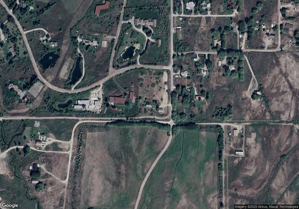
Map
Nearby Homes
- 6000 W Heck of A Hill Rd
- 1415 2nd St
- 4585 W Highway 22
- 55 S Ely Springs Rd
- 1475 N Fish Creek Rd
- 6050 West St
- 6255 W Heck of A Hill Rd
- 185 S Swan Rd
- 4420 W Bronco Rd
- 6125/6785 W Heck-Of-a-hill & Gill Huff Rd
- 200 N West Ridge Rd
- 4260 River Springs Dr
- 5405 Ulysses Ln
- 1120 S Thunder Rd
- 5490 Blue Mountain Rd
- 6255 W Us Highway 22
- 6255 W Hwy 22
- 5725 Caddis Fly Dr
- 1050 Blue Dun Ln
- 6635 Wyoming 22
- 5030 Shoshone Dr
- 550 Wenzel Ln
- 520 Wenzel Ln
- 4450 Goodrick Ln
- 5050 Shoshone Dr
- 640 Wenzel Ln
- 4400 Goodrick Ln
- 5075 Shoshone Dr
- 490 Wenzel Ln
- 4425 Goodrick Ln
- 725 N Dakota Ln
- 700 Wenzel Ln
- 4350 Goodrick Ln
- 690 N Wenzel Ln
- 690 Wenzel Ln
- 5135 Shoshone Dr
- 680 Wenzel Ln
- 4405 Goodrick Ln
- 4365 Goodrick Ln
- 750 Dakota Ln