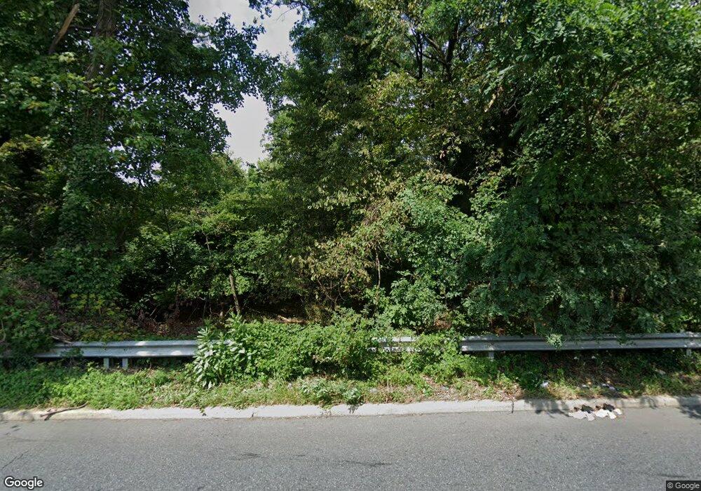
5000 W Northern Pkwy Baltimore, MD 21215
Reisterstown Station Neighborhood
--
Bed
--
Bath
--
Sq Ft
7.7
Acres
About This Home
This home is located at 5000 W Northern Pkwy, Baltimore, MD 21215. 5000 W Northern Pkwy is a home located in Baltimore City with nearby schools including Calvin M. Rodwell Elementary School, Booker T. Washington Middle School, and Forest Park High School.
Ownership History
Date
Name
Owned For
Owner Type
Purchase Details
Closed on
Aug 14, 2019
Sold by
Highway Church Of Christ Incorporated
Bought by
7 Star Enterprises Inc
Home Financials for this Owner
Home Financials are based on the most recent Mortgage that was taken out on this home.
Original Mortgage
$157,500
Outstanding Balance
$137,941
Interest Rate
3.7%
Mortgage Type
Commercial
Create a Home Valuation Report for This Property
The Home Valuation Report is an in-depth analysis detailing your home's value as well as a comparison with similar homes in the area
Home Values in the Area
Average Home Value in this Area
Purchase History
| Date | Buyer | Sale Price | Title Company |
|---|---|---|---|
| 7 Star Enterprises Inc | $175,000 | None Available |
Source: Public Records
Mortgage History
| Date | Status | Borrower | Loan Amount |
|---|---|---|---|
| Open | 7 Star Enterprises Inc | $157,500 | |
| Closed | 7 Star Enterprises Inc | $157,500 |
Source: Public Records
Tax History Compared to Growth
Tax History
| Year | Tax Paid | Tax Assessment Tax Assessment Total Assessment is a certain percentage of the fair market value that is determined by local assessors to be the total taxable value of land and additions on the property. | Land | Improvement |
|---|---|---|---|---|
| 2025 | $12,686 | $539,800 | $539,000 | $800 |
| 2024 | $12,686 | $540,100 | $539,000 | $1,100 |
| 2023 | $12,746 | $540,100 | $539,000 | $1,100 |
| 2022 | $12,746 | $540,100 | $539,000 | $1,100 |
| 2021 | $12,770 | $541,100 | $539,000 | $2,100 |
| 2020 | $12,770 | $541,100 | $539,000 | $2,100 |
| 2019 | $12,709 | $541,100 | $539,000 | $2,100 |
| 2018 | $12,775 | $541,300 | $539,000 | $2,300 |
| 2017 | $12,775 | $541,300 | $0 | $0 |
| 2016 | $12,864 | $541,300 | $0 | $0 |
| 2015 | $12,864 | $542,200 | $0 | $0 |
| 2014 | $12,864 | $542,200 | $0 | $0 |
Source: Public Records
Map
Nearby Homes
- 5514 Liberty Heights Ave
- 5619 Wesley Ave
- 3811 Parkview Ave
- 3429 Flannery Ln
- 5517 Haddon Ave
- 5334 Liberty Heights Ave
- 5511 Wesley Ave
- 3419 Redman Rd
- 5318 Belleville Ave
- 5627 Wayne Ave
- 5310 Haddon Ave
- 3525 Meadowside Rd
- 5427 Gradin Ave
- 3655 Forest Garden Ave
- 3815 N Rogers Ave
- 5605 Groveland Ave
- 5601 Groveland Ave
- 3724 Oak Ave
- 3729 Marmon Ave
- 2926 Silver Hill Ave
- 5906 Liberty Heights Ave
- 5908 Liberty Heights Ave
- 5900 Liberty Heights Ave
- 5910 Liberty Rd
- 6001 Updale Ct
- 5914 Liberty Rd
- 5912 Liberty Rd
- 6003 Updale Ct
- 47184726 Liberty Heights Ave N
- 5916 Liberty Rd
- 6005 Updale Ct
- 6000 Liberty Rd
- 5917 Liberty Rd
- 5905 Liberty Rd
- 6002 Liberty Rd
- 6007 Updale Ct
- 6004 Liberty Rd
- 6009 Updale Ct
- 3611 Tulsa Rd
- 6006 Liberty Rd
