Estimated Value: $359,777 - $446,000
4
Beds
2
Baths
2,088
Sq Ft
$190/Sq Ft
Est. Value
About This Home
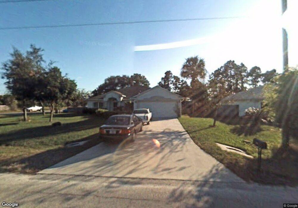
This home is located at 5001 Bridge Rd, Cocoa, FL 32927 and is currently estimated at $396,944, approximately $190 per square foot. 5001 Bridge Rd is a home located in Brevard County with nearby schools including Challenger 7 Elementary School, Space Coast Junior/Senior High School, and Sculptor Charter School.
Ownership History
Date
Name
Owned For
Owner Type
Purchase Details
Closed on
Jul 30, 2004
Sold by
Bails Robert R and Bails Wendy M
Bought by
Mitchell Leroy and Mitchell Mary F
Current Estimated Value
Home Financials for this Owner
Home Financials are based on the most recent Mortgage that was taken out on this home.
Original Mortgage
$189,900
Outstanding Balance
$95,541
Interest Rate
6.22%
Estimated Equity
$301,403
Purchase Details
Closed on
Mar 28, 2003
Sold by
Mercedes Homes Inc
Bought by
Bails Robert R and Bails Wendy M
Home Financials for this Owner
Home Financials are based on the most recent Mortgage that was taken out on this home.
Original Mortgage
$135,330
Interest Rate
5.82%
Purchase Details
Closed on
Nov 8, 2002
Sold by
Buria Teresa L
Bought by
Mercedes Homes Inc
Create a Home Valuation Report for This Property
The Home Valuation Report is an in-depth analysis detailing your home's value as well as a comparison with similar homes in the area
Home Values in the Area
Average Home Value in this Area
Purchase History
| Date | Buyer | Sale Price | Title Company |
|---|---|---|---|
| Mitchell Leroy | $189,900 | -- | |
| Bails Robert R | $132,700 | -- | |
| Mercedes Homes Inc | $15,900 | -- |
Source: Public Records
Mortgage History
| Date | Status | Borrower | Loan Amount |
|---|---|---|---|
| Open | Mitchell Leroy | $189,900 | |
| Previous Owner | Bails Robert R | $135,330 |
Source: Public Records
Tax History
| Year | Tax Paid | Tax Assessment Tax Assessment Total Assessment is a certain percentage of the fair market value that is determined by local assessors to be the total taxable value of land and additions on the property. | Land | Improvement |
|---|---|---|---|---|
| 2025 | $1,517 | $312,520 | -- | -- |
| 2024 | $1,474 | $112,740 | -- | -- |
| 2023 | $1,474 | $109,460 | $0 | $0 |
| 2022 | $1,429 | $106,280 | $0 | $0 |
| 2021 | $1,424 | $103,190 | $0 | $0 |
| 2020 | $1,347 | $101,770 | $0 | $0 |
| 2019 | $1,280 | $99,490 | $0 | $0 |
| 2018 | $1,270 | $97,640 | $0 | $0 |
| 2017 | $1,259 | $95,640 | $0 | $0 |
| 2016 | $1,258 | $93,680 | $18,000 | $75,680 |
| 2015 | $1,271 | $93,030 | $15,000 | $78,030 |
| 2014 | $1,272 | $92,300 | $11,000 | $81,300 |
Source: Public Records
Map
Nearby Homes
- 5914 Stillwater Ave
- 4905 Bridge Rd
- 6094 Cardiff Ave
- 6020 Cannon Ave
- 5221 Carrick Rd
- 5945 Coker Ave
- 5215 Holden Rd
- 4975 Fay Blvd
- 6210 Stillwater Ave
- 5220 Holden Rd
- 4545 Rosebud St
- 5946 Deer Ln
- 5265 Fay Blvd
- 6310 Depot Ave
- 6375 Cable Ave
- 0 Unassigned Unit MFRTB8466891
- 5915 Clearfield Ave
- 6074 Aires Ave
- 4550 Piedras St
- 0000 Grissom Pkwy
- 5013 Bridge Rd
- 3800 Grissom Pkwy
- 3850 Grissom Pkwy
- 5025 Bridge Rd
- 5014 Bridge Rd
- 4999 Bridge Rd
- 5026 Bridge Rd
- 5037 Bridge Rd
- 0 Bridge St
- 4990 Bridge Rd
- 5940 Grissom Pkwy
- 5945 Grissom Pkwy
- 5049 Bridge Rd
- 0 Corner of Bridge & Cardiff Unit 767912
- 5038 Bridge Rd
- 5960 Grissom Pkwy
- 4985 Bridge Rd
- 4980 Bridge Rd
- 5937 Cardiff Ave
- 0 Unassigned (Off Grissom Pkwy) Unit 898005
Your Personal Tour Guide
Ask me questions while you tour the home.