Estimated Value: $133,000 - $254,000
--
Bed
1
Bath
1,625
Sq Ft
$120/Sq Ft
Est. Value
About This Home
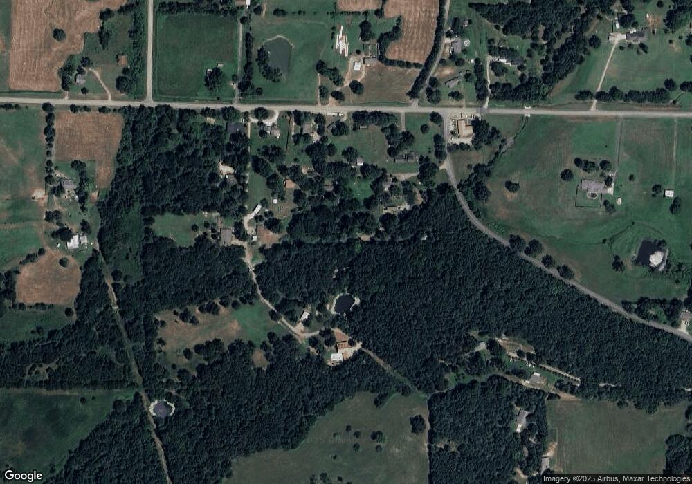
This home is located at 5001 Dusty Way, Alma, AR 72921 and is currently estimated at $195,751, approximately $120 per square foot. 5001 Dusty Way is a home with nearby schools including Alma Intermediate School, Alma Primary School, and Alma Middle School.
Ownership History
Date
Name
Owned For
Owner Type
Purchase Details
Closed on
Jan 12, 2018
Sold by
Henson Jennifer
Bought by
Dunning Michael R and Dunning Sandra Lynn
Current Estimated Value
Home Financials for this Owner
Home Financials are based on the most recent Mortgage that was taken out on this home.
Original Mortgage
$79,927
Outstanding Balance
$67,222
Interest Rate
3.9%
Mortgage Type
New Conventional
Estimated Equity
$128,529
Purchase Details
Closed on
Feb 15, 2017
Sold by
Henson Jesse and Henson Jennifer
Bought by
Henson Jennifer
Purchase Details
Closed on
Jul 12, 2001
Bought by
Dutton and Mattingly
Purchase Details
Closed on
Mar 20, 1996
Bought by
Sirratt-Dutton
Create a Home Valuation Report for This Property
The Home Valuation Report is an in-depth analysis detailing your home's value as well as a comparison with similar homes in the area
Home Values in the Area
Average Home Value in this Area
Purchase History
| Date | Buyer | Sale Price | Title Company |
|---|---|---|---|
| Dunning Michael R | $83,000 | None Available | |
| Henson Jennifer | -- | None Available | |
| Dutton | $70,000 | -- | |
| Sirratt-Dutton | -- | -- |
Source: Public Records
Mortgage History
| Date | Status | Borrower | Loan Amount |
|---|---|---|---|
| Open | Dunning Michael R | $79,927 |
Source: Public Records
Tax History Compared to Growth
Tax History
| Year | Tax Paid | Tax Assessment Tax Assessment Total Assessment is a certain percentage of the fair market value that is determined by local assessors to be the total taxable value of land and additions on the property. | Land | Improvement |
|---|---|---|---|---|
| 2025 | $1,187 | $29,270 | $7,640 | $21,630 |
| 2024 | $1,096 | $29,270 | $7,640 | $21,630 |
| 2023 | $1,004 | $29,270 | $7,640 | $21,630 |
| 2022 | $913 | $18,370 | $4,220 | $14,150 |
| 2021 | $913 | $18,370 | $4,220 | $14,150 |
| 2020 | $913 | $18,370 | $4,220 | $14,150 |
| 2019 | $931 | $18,370 | $4,220 | $14,150 |
| 2018 | $581 | $18,370 | $4,220 | $14,150 |
| 2017 | $495 | $16,660 | $4,220 | $12,440 |
| 2016 | $845 | $16,660 | $4,220 | $12,440 |
| 2015 | $845 | $16,660 | $4,220 | $12,440 |
| 2014 | $845 | $16,660 | $4,220 | $12,440 |
Source: Public Records
Map
Nearby Homes
- 6106 Dean Rd
- 2215 Deepwood Dr
- 700 Love Rd
- 3828 Edwards Rd
- 634 Orchard View
- 6562 Broadleaf Dr
- 621 E Newberry Rd
- 3911 Brownstead Ct
- 510 E Newberry Rd
- 4504 Ridge Rd
- 1206 Dow Jones Rd
- 1230 Dow Jones Rd
- 3022 Dow Jones Rd
- 1303 Hoover Way
- 3820 Newberry Ln
- 8761 Highway 282
- 2108 N Mountain Grove Rd
- 421 Stone Mountain Loop
- 2411 Pauls Valley Ln
- 8700 Hunter Ridge Dr
- 2015 Dean Springs Point
- 2011 Dean Springs Rd
- 1907 Dean Springs Rd
- 4625 Baugh Rd
- 1901 Dean Springs Point
- 1903 Dean Springs Rd
- 1833 Dean Springs Rd
- 4906 Clear Springs Ln
- 1910 Dean Springs Rd
- 2315 Dean Springs Rd
- 1821 Dean Springs Rd
- 5200 Dean Rd
- 5126 Dean Rd
- 2122 Dean Springs Rd
- 4907 Clear Springs Ln
- 5001 Clear Springs Ln
- 4417 Baugh Rd
- 1801 Dean Springs Rd
- 5228 Dean Rd
- 4702 Baugh Rd
