5001 Normandy Ct Sandusky, OH 44870
Estimated Value: $252,000 - $304,000
3
Beds
3
Baths
2,038
Sq Ft
$133/Sq Ft
Est. Value
About This Home
This home is located at 5001 Normandy Ct, Sandusky, OH 44870 and is currently estimated at $271,780, approximately $133 per square foot. 5001 Normandy Ct is a home located in Erie County with nearby schools including Furry Elementary School, Meadowlawn Elementary School, and Briar Middle School.
Ownership History
Date
Name
Owned For
Owner Type
Purchase Details
Closed on
Feb 15, 2024
Sold by
Fantozz James W
Bought by
Fantozz-Skavnak
Current Estimated Value
Purchase Details
Closed on
Nov 22, 1996
Sold by
Rose Michael B
Bought by
Fantozz James W and Fantozz Jo Dee
Home Financials for this Owner
Home Financials are based on the most recent Mortgage that was taken out on this home.
Original Mortgage
$145,000
Interest Rate
6.25%
Mortgage Type
New Conventional
Create a Home Valuation Report for This Property
The Home Valuation Report is an in-depth analysis detailing your home's value as well as a comparison with similar homes in the area
Home Values in the Area
Average Home Value in this Area
Purchase History
| Date | Buyer | Sale Price | Title Company |
|---|---|---|---|
| Fantozz-Skavnak | -- | None Listed On Document | |
| Fantozz James W | $119,245 | -- |
Source: Public Records
Mortgage History
| Date | Status | Borrower | Loan Amount |
|---|---|---|---|
| Previous Owner | Fantozz James W | $145,000 |
Source: Public Records
Tax History Compared to Growth
Tax History
| Year | Tax Paid | Tax Assessment Tax Assessment Total Assessment is a certain percentage of the fair market value that is determined by local assessors to be the total taxable value of land and additions on the property. | Land | Improvement |
|---|---|---|---|---|
| 2024 | $2,941 | $63,990 | $13,090 | $50,900 |
| 2023 | $2,941 | $57,819 | $10,818 | $47,001 |
| 2022 | $3,257 | $57,819 | $10,818 | $47,001 |
| 2021 | $3,246 | $57,820 | $10,820 | $47,000 |
| 2020 | $3,025 | $54,350 | $10,820 | $43,530 |
| 2019 | $3,113 | $54,350 | $10,820 | $43,530 |
| 2018 | $3,115 | $54,350 | $10,820 | $43,530 |
| 2017 | $3,179 | $53,970 | $10,820 | $43,150 |
| 2016 | $2,777 | $53,970 | $10,820 | $43,150 |
| 2015 | $2,725 | $53,970 | $10,820 | $43,150 |
| 2014 | $2,749 | $53,970 | $10,820 | $43,150 |
| 2013 | $2,562 | $53,970 | $10,820 | $43,150 |
Source: Public Records
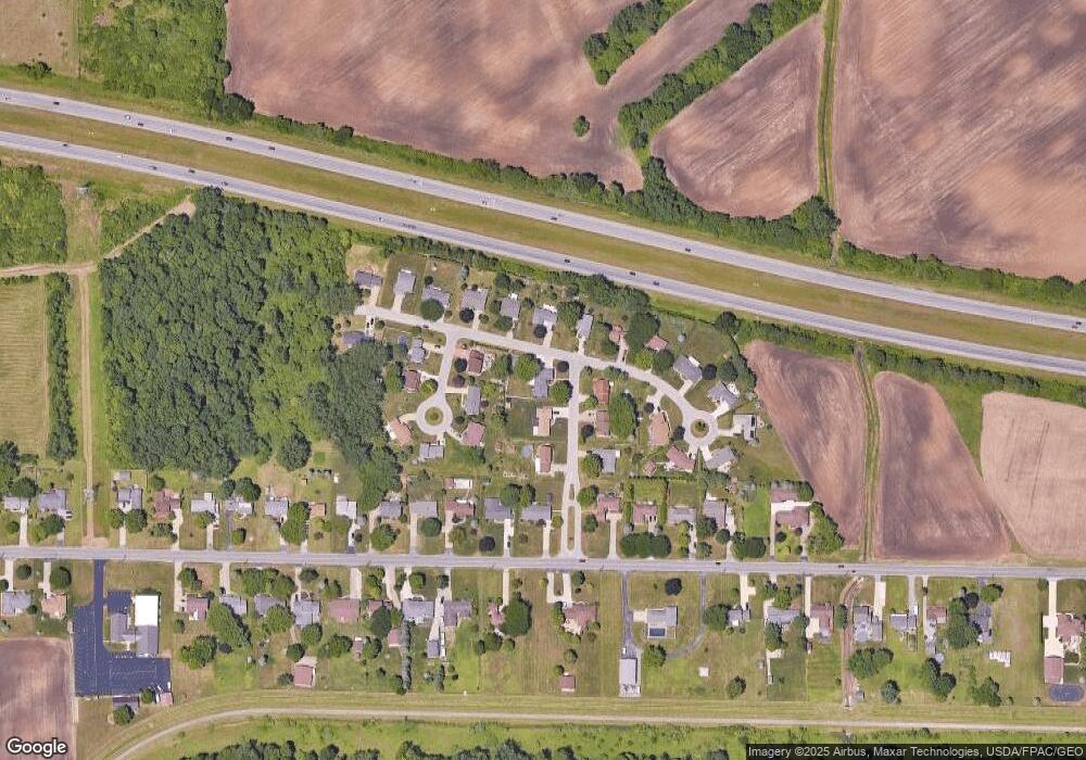
Map
Nearby Homes
- 817 W Bogart Rd
- 1006 W Bogart Rd
- 1101 W Bogart Rd
- 414 Indiana Ave
- 730 Kelley Ln
- 736 Kelley Ln
- 1305 S Lake Wilmer Dr Unit 208A
- 405 Birchwood Dr
- 3818 Donair Dr
- 0 Us Rte 250 Unit 9066254
- 0 Us Rte 250 Unit 5105465
- 0 Us Rte 250 Unit 20250774
- 301 Schiller Ave
- 611 E Bogart Rd
- 404 Cedar Brook Ln
- 0 Crossings Rd Unit 20213052
- 0 Crossings Rd Unit 20213054
- 482 Crossings Rd
- 28 Zachary Ln
- 3 Zachary Ln
- 5005 Normandy Ct
- 5002 Kirkwood Terrace
- 5004 Kirkwood Terrace
- 809 Walt Lake Trail
- 805 Walt Lake Trail
- 5002 Normandy Ct
- 813 Walt Lake Trail
- 5009 Normandy Ct
- 5008 Kirkwood Terrace
- 5006 Normandy Ct
- 819 Walt Lake Trail
- 5010 Normandy Ct
- 5010 Kirkwood Terrace
- 710 Walt Lake Trail
- 717 Walt Lake Trail
- 5001 Kirkwood Terrace
- 903 Walt Lake Trail
- 809 W Bogart Rd
- 5003 Kirkwood Terrace
- 813 W Bogart Rd