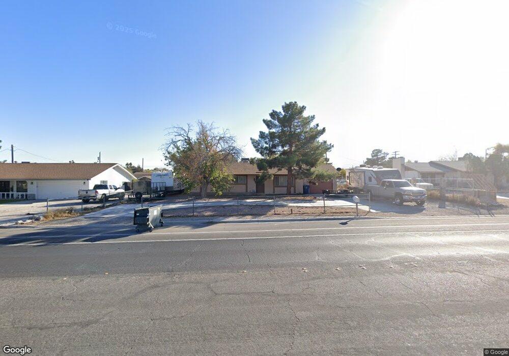
5001 W Gowan Rd Las Vegas, NV 89130
Northwest Area NeighborhoodEstimated Value: $450,000 - $520,000
3
Beds
2
Baths
1,288
Sq Ft
$364/Sq Ft
Est. Value
About This Home
This home is located at 5001 W Gowan Rd, Las Vegas, NV 89130 and is currently estimated at $468,790, approximately $363 per square foot. 5001 W Gowan Rd is a home located in Clark County with nearby schools including Claude & Stella Parson Elementary School, Theron L Swainston Middle School, and Cheyenne High School.
Ownership History
Date
Name
Owned For
Owner Type
Purchase Details
Closed on
Dec 27, 2017
Sold by
Christina Parecy Wayne and Christina Karen A
Bought by
Kelso Christopher S
Current Estimated Value
Home Financials for this Owner
Home Financials are based on the most recent Mortgage that was taken out on this home.
Original Mortgage
$211,105
Outstanding Balance
$177,828
Interest Rate
3.87%
Mortgage Type
FHA
Estimated Equity
$290,962
Create a Home Valuation Report for This Property
The Home Valuation Report is an in-depth analysis detailing your home's value as well as a comparison with similar homes in the area
Home Values in the Area
Average Home Value in this Area
Purchase History
| Date | Buyer | Sale Price | Title Company |
|---|---|---|---|
| Kelso Christopher S | $215,000 | Chicago Title Las Vegas |
Source: Public Records
Mortgage History
| Date | Status | Borrower | Loan Amount |
|---|---|---|---|
| Open | Kelso Christopher S | $211,105 |
Source: Public Records
Tax History Compared to Growth
Tax History
| Year | Tax Paid | Tax Assessment Tax Assessment Total Assessment is a certain percentage of the fair market value that is determined by local assessors to be the total taxable value of land and additions on the property. | Land | Improvement |
|---|---|---|---|---|
| 2025 | $1,604 | $72,574 | $47,250 | $25,324 |
| 2024 | $1,558 | $72,574 | $47,250 | $25,324 |
| 2023 | $1,558 | $69,743 | $47,250 | $22,493 |
| 2022 | $1,512 | $65,214 | $43,750 | $21,464 |
| 2021 | $1,468 | $63,022 | $42,000 | $21,022 |
| 2020 | $1,423 | $60,037 | $38,500 | $21,537 |
| 2019 | $1,405 | $48,067 | $26,250 | $21,817 |
| 2018 | $1,341 | $44,378 | $22,750 | $21,628 |
| 2017 | $1,340 | $43,503 | $21,000 | $22,503 |
| 2016 | $1,171 | $38,193 | $14,700 | $23,493 |
| 2015 | $1,169 | $37,633 | $14,000 | $23,633 |
| 2014 | $1,134 | $38,014 | $14,000 | $24,014 |
Source: Public Records
Map
Nearby Homes
- 5025 Jay Ave
- 3711 Thom Blvd
- 4905 Ricky Rd
- 3413 Bonn Ct
- 3509 Golden Sage Dr
- 3801 Hidden Plateau St
- 5008 Donnie Ave
- 5105 Gentle River Ave
- 3500 N Rancho Dr
- 4542 Silver Bit Ct
- 3816 Sunking St
- 3627 Anya Way
- 5120 Gentle River Ave
- 3318 N Decatur Blvd Unit 2110
- 3318 N Decatur Blvd Unit 1013
- 3318 N Decatur Blvd Unit 2112
- 3318 N Decatur Blvd Unit 2149
- 3318 N Decatur Blvd Unit 2143
- 3318 N Decatur Blvd Unit 1044
- 3318 N Decatur Blvd Unit 2082