50015 S 725 Rd Colcord, OK 74338
Estimated Value: $157,000 - $230,000
2
Beds
1
Bath
1,316
Sq Ft
$141/Sq Ft
Est. Value
About This Home
This home is located at 50015 S 725 Rd, Colcord, OK 74338 and is currently estimated at $185,766, approximately $141 per square foot. 50015 S 725 Rd is a home located in Delaware County with nearby schools including Colcord Elementary School, Colcord High School, and Gentry Mennonite School.
Ownership History
Date
Name
Owned For
Owner Type
Purchase Details
Closed on
Apr 19, 2021
Sold by
Puryear John Scott and Puryear Janet K
Bought by
Hale Anne and Hale Brandon Scott
Current Estimated Value
Purchase Details
Closed on
Mar 20, 2019
Sold by
Poole Emily and Poole Emily Anne
Bought by
Puryear John Scott and Puryear Janet K
Purchase Details
Closed on
Dec 12, 2016
Sold by
Puryear John Scott and Puryear Janet Kay
Bought by
Poole Brannan and Poole Emily
Home Financials for this Owner
Home Financials are based on the most recent Mortgage that was taken out on this home.
Original Mortgage
$54,285
Interest Rate
3.47%
Mortgage Type
Credit Line Revolving
Purchase Details
Closed on
Sep 1, 2015
Sold by
Secretary Of Hud
Bought by
Hsbc Bank Usa Na and Mastr Reperforming Loan Trust 2005 2
Create a Home Valuation Report for This Property
The Home Valuation Report is an in-depth analysis detailing your home's value as well as a comparison with similar homes in the area
Home Values in the Area
Average Home Value in this Area
Purchase History
| Date | Buyer | Sale Price | Title Company |
|---|---|---|---|
| Hale Anne | -- | None Available | |
| Puryear John Scott | -- | Grand River Abstract & Ttl C | |
| Poole Brannan | $50,000 | Grand River Abstract & Title | |
| Hsbc Bank Usa Na | -- | None Available |
Source: Public Records
Mortgage History
| Date | Status | Borrower | Loan Amount |
|---|---|---|---|
| Previous Owner | Poole Brannan | $54,285 |
Source: Public Records
Tax History Compared to Growth
Tax History
| Year | Tax Paid | Tax Assessment Tax Assessment Total Assessment is a certain percentage of the fair market value that is determined by local assessors to be the total taxable value of land and additions on the property. | Land | Improvement |
|---|---|---|---|---|
| 2025 | $800 | $8,914 | $777 | $8,137 |
| 2024 | $657 | $7,265 | $740 | $6,525 |
| 2023 | $657 | $6,919 | $711 | $6,208 |
| 2022 | $597 | $6,919 | $705 | $6,214 |
| 2021 | $575 | $6,589 | $705 | $5,884 |
| 2020 | $547 | $5,977 | $705 | $5,272 |
| 2019 | $536 | $5,902 | $705 | $5,197 |
Source: Public Records
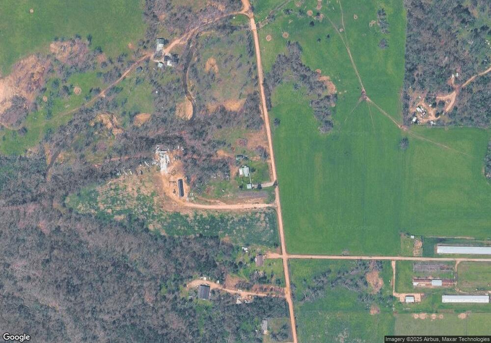
Map
Nearby Homes
- 23963 Floyd Moore Rd
- Tract 1 E 495 Rd
- 23586 Oklahoma 116
- 0 Ruby Hall Rd Unit 1296833
- 0 Ruby Hall Rd Unit 25-289
- 21942 E 510 Rd
- 23540 Arkansas 12
- 24530 & 24540 Coon Hollow Rd
- 22844 Floyd Moore Rd
- 24530 & 24540 Coon's Hollow Rd
- TBD N Bloomfield Rd
- 9065 Pine Grove Rd
- 10302 Bloomfield North Rd
- 11419 Cripps Rd
- 9037 Pine Grove Rd
- 0003 Colcord Rd
- 0 E 530 Rd Unit 2526833
- 0 E 530 Rd Unit 1300636
- 0 E 530 Rd Unit 2509869
- 24530 Coon's Hollow Rd
- 50179 S 725 Rd
- 50131 S 725 (Stateline Rd) Rd
- 50131 S 725 Rd
- 10220 Boyles Rd
- 50287 S 725 Rd
- 10108 State Line Rd
- 10145 Woods Place
- 24661 Floyd Moore Rd
- 24661 Floyd Moore Rd
- 24661 Floyd Moore Rd Unit PARCEL 1
- 10240 Boyles Rd
- 10284 Boyles Rd
- 24928 Cherokee Rd
- 10608 State Line Rd
- 10210 Boyles Rd
- 24864 Cherokee Rd
- 10328 Boyles Rd
- 10210 Boyle Rd
- 10099 Cherokee Main St
- 10141 Boyles Rd