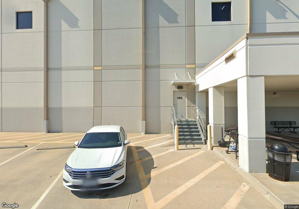
5002 Commerce Way North Dinwiddie, VA 23803
--
Bed
--
Bath
1,015,740
Sq Ft
112.09
Acres
About This Home
This home is located at 5002 Commerce Way, North Dinwiddie, VA 23803. 5002 Commerce Way is a home located in Dinwiddie County with nearby schools including Sutherland Elementary School, Dinwiddie Middle School, and Dinwiddie High School.
Ownership History
Date
Name
Owned For
Owner Type
Purchase Details
Closed on
Oct 17, 2019
Sold by
Industrial Logistics Properties Trust
Bought by
Industrial Fund Ms Llc
Home Financials for this Owner
Home Financials are based on the most recent Mortgage that was taken out on this home.
Original Mortgage
$350,000,000
Outstanding Balance
$307,860,862
Interest Rate
3.7%
Mortgage Type
Credit Line Revolving
Purchase Details
Closed on
Apr 3, 2019
Sold by
Arcp Id Petersburg Va Llc
Bought by
Ilpt Properties Llc
Purchase Details
Closed on
Oct 22, 2014
Purchase Details
Closed on
Jul 18, 2012
Create a Home Valuation Report for This Property
The Home Valuation Report is an in-depth analysis detailing your home's value as well as a comparison with similar homes in the area
Home Values in the Area
Average Home Value in this Area
Purchase History
| Date | Buyer | Sale Price | Title Company |
|---|---|---|---|
| Industrial Fund Ms Llc | -- | Commonwealth Land Title | |
| Industrial Logistics Propertie | -- | Commonwealth Land Title | |
| Ilpt Properties Llc | $68,100,000 | First American Title | |
| -- | $58,944,500 | -- | |
| -- | -- | -- |
Source: Public Records
Mortgage History
| Date | Status | Borrower | Loan Amount |
|---|---|---|---|
| Open | Industrial Logistics Propertie | $350,000,000 | |
| Closed | Industrial Fund Ms Llc | $350,000,000 |
Source: Public Records
Tax History Compared to Growth
Tax History
| Year | Tax Paid | Tax Assessment Tax Assessment Total Assessment is a certain percentage of the fair market value that is determined by local assessors to be the total taxable value of land and additions on the property. | Land | Improvement |
|---|---|---|---|---|
| 2025 | $412,642 | $64,475,300 | $2,465,700 | $62,009,600 |
| 2024 | $492,728 | $58,658,100 | $2,466,000 | $56,192,100 |
| 2023 | $71 | $58,658,100 | $2,466,000 | $56,192,100 |
| 2022 | $463,399 | $58,658,100 | $2,466,000 | $56,192,100 |
| 2021 | $463,399 | $58,658,100 | $2,466,000 | $56,192,100 |
| 2020 | $463,399 | $58,658,100 | $2,466,000 | $56,192,100 |
| 2019 | $463,399 | $58,658,100 | $2,466,000 | $56,192,100 |
| 2018 | $416,911 | $52,773,500 | $2,241,800 | $50,531,700 |
| 2017 | $416,911 | $52,773,500 | $2,241,800 | $50,531,700 |
| 2016 | -- | $52,773,500 | $0 | $0 |
| 2015 | -- | $0 | $0 | $0 |
| 2014 | -- | $0 | $0 | $0 |
| 2013 | -- | $0 | $0 | $0 |
Source: Public Records
Map
Nearby Homes
- 23994 Kyles Ct
- 6104 Plane Dr
- 23809 Old Cox Rd
- 23608 Old Cox Rd
- TBD Lewis Rd
- 5108 Chesdin Rd
- 25014 James Ave
- 5404 Oak St
- 24705 Mount Pleasant St
- 24815 Mount Pleasant St
- 25136 Floyd Ave
- 25319 Ford Ave
- 24306 Gloria Dr
- 24003 Bancroft Dr
- 4201 Kenneth Dr
- 7126 Boydton Plank Rd
- 24105 Bancroft Dr
- 22910 Pheasant Ct
- 22290 Butterwood Rd
- 25504 Simmons Ave
