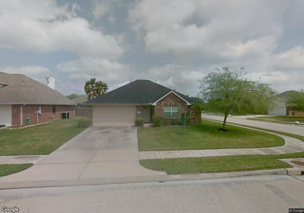
5003 Lockhart Dr Pearland, TX 77584
Estimated Value: $287,818 - $323,000
--
Bed
1
Bath
1,886
Sq Ft
$164/Sq Ft
Est. Value
About This Home
This home is located at 5003 Lockhart Dr, Pearland, TX 77584 and is currently estimated at $310,205, approximately $164 per square foot. 5003 Lockhart Dr is a home located in Brazoria County with nearby schools including Magnolia Elementary School, Pearland Junior High School South, and Sam Jamison Middle School.
Ownership History
Date
Name
Owned For
Owner Type
Purchase Details
Closed on
May 15, 2025
Sold by
Santina Gary Dwight
Bought by
Rlt Gary Santina and Rlt Santina
Current Estimated Value
Purchase Details
Closed on
Dec 31, 2020
Sold by
Della Santina Dorothy Nell
Bought by
Santina Gary
Purchase Details
Closed on
Feb 7, 2006
Sold by
Della Santina Richard Mate and Della Santina Dorothy Nell
Bought by
Della Santina Richard Mate and Della Santina Dorothy Nell
Create a Home Valuation Report for This Property
The Home Valuation Report is an in-depth analysis detailing your home's value as well as a comparison with similar homes in the area
Home Values in the Area
Average Home Value in this Area
Purchase History
| Date | Buyer | Sale Price | Title Company |
|---|---|---|---|
| Rlt Gary Santina | -- | None Listed On Document | |
| Santina Gary | -- | None Available | |
| Della Santina Richard Mate | -- | None Available |
Source: Public Records
Tax History Compared to Growth
Tax History
| Year | Tax Paid | Tax Assessment Tax Assessment Total Assessment is a certain percentage of the fair market value that is determined by local assessors to be the total taxable value of land and additions on the property. | Land | Improvement |
|---|---|---|---|---|
| 2025 | $2,990 | $301,690 | $25,580 | $276,110 |
| 2023 | $2,990 | $266,607 | $24,840 | $293,670 |
| 2022 | $6,485 | $242,370 | $24,840 | $217,530 |
| 2021 | $6,480 | $224,480 | $24,840 | $199,640 |
| 2020 | $6,622 | $217,250 | $24,840 | $192,410 |
| 2019 | $5,686 | $185,890 | $24,840 | $161,050 |
| 2018 | $5,701 | $185,890 | $24,840 | $161,050 |
| 2017 | $5,763 | $185,890 | $24,840 | $161,050 |
| 2016 | $5,462 | $176,190 | $24,840 | $151,350 |
| 2015 | $4,787 | $156,450 | $24,840 | $131,610 |
| 2014 | $4,787 | $145,400 | $24,840 | $120,560 |
Source: Public Records
Map
Nearby Homes
- 5101 Big Spring Dr
- 16622 Mclean Rd
- 4013 Ivywood Dr
- 5205 Spring Branch Dr
- 3911 Spring Garden Dr
- 16719 Mclean Rd
- 3910 Greenwood Dr
- 4015 Cedarwood Dr
- 7206 Williams Rd
- 3834 Aubrell Rd
- 4806 Chaperel Dr
- 3804 Parry Fields Ct
- 3602 Lindhaven Dr
- 3730 Aubrell Rd
- 3806 Canterbury Park Dr
- 6436 Grace Ln
- 16708 N Wayne Ln
- 7223 Libby Ln
- 3705 Canterbury Park Dr
- 3703 Canterbury Park Dr
- 5005 Lockhart Dr
- 5002 Caprock Dr
- 5004 Caprock Dr
- 5007 Lockhart Dr
- 4109 Mustang Rd
- 5006 Caprock Dr
- 5002 Lockhart Dr
- 4111 Mustang Rd
- 5004 Lockhart Dr
- 4105 Mustang Rd
- 5009 Lockhart Dr
- 5006 Lockhart Dr
- 4113 Mustang Rd
- 5008 Caprock Dr
- 4103 Mustang Rd
- 0 Mclean Unit 56470745
- 5008 Lockhart Dr
- 5011 Lockhart Dr
- 17203 County Road 104
- 5010 Caprock Dr